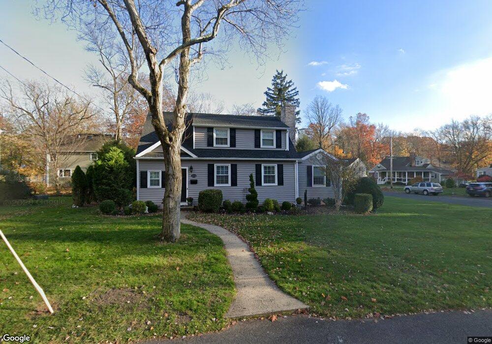
2044 Newark Ave Scotch Plains, NJ 07076
Estimated Value: $593,537 - $921,000
--
Bed
--
Bath
1,981
Sq Ft
$411/Sq Ft
Est. Value
About This Home
This home is located at 2044 Newark Ave, Scotch Plains, NJ 07076 and is currently estimated at $813,384, approximately $410 per square foot. 2044 Newark Ave is a home located in Union County with nearby schools including William J. McGinn Elementary School, Terrill Middle School, and Scotch Plains-Fanwood High School.
Ownership History
Date
Name
Owned For
Owner Type
Purchase Details
Closed on
Jun 1, 1998
Sold by
Douglas Rohan and Douglas Jacqueline
Bought by
Mouckas Dean T and Mouckas Judith Lanfredi
Current Estimated Value
Home Financials for this Owner
Home Financials are based on the most recent Mortgage that was taken out on this home.
Original Mortgage
$183,000
Outstanding Balance
$36,610
Interest Rate
7.05%
Estimated Equity
$776,774
Create a Home Valuation Report for This Property
The Home Valuation Report is an in-depth analysis detailing your home's value as well as a comparison with similar homes in the area
Home Values in the Area
Average Home Value in this Area
Purchase History
| Date | Buyer | Sale Price | Title Company |
|---|---|---|---|
| Mouckas Dean T | $248,000 | -- |
Source: Public Records
Mortgage History
| Date | Status | Borrower | Loan Amount |
|---|---|---|---|
| Open | Mouckas Dean T | $183,000 |
Source: Public Records
Tax History Compared to Growth
Tax History
| Year | Tax Paid | Tax Assessment Tax Assessment Total Assessment is a certain percentage of the fair market value that is determined by local assessors to be the total taxable value of land and additions on the property. | Land | Improvement |
|---|---|---|---|---|
| 2025 | $12,121 | $103,000 | $31,700 | $71,300 |
| 2024 | $11,764 | $103,000 | $31,700 | $71,300 |
| 2023 | $11,764 | $103,000 | $31,700 | $71,300 |
| 2022 | $11,624 | $103,000 | $31,700 | $71,300 |
| 2021 | $11,604 | $103,000 | $31,700 | $71,300 |
| 2020 | $11,548 | $103,000 | $31,700 | $71,300 |
| 2019 | $10,283 | $92,400 | $31,700 | $60,700 |
| 2018 | $10,110 | $92,400 | $31,700 | $60,700 |
| 2017 | $9,886 | $92,400 | $31,700 | $60,700 |
| 2016 | $9,696 | $92,400 | $31,700 | $60,700 |
| 2015 | $9,537 | $92,400 | $31,700 | $60,700 |
| 2014 | $9,222 | $92,400 | $31,700 | $60,700 |
Source: Public Records
Map
Nearby Homes
- 2116 Newark Ave
- 2212 Shady Ln
- 1933 Mary Ellen Ln
- 1933 W Broad St
- 2154 W Broad St
- 2219 North Ave Unit 6
- 345 La Grande Ave
- 2314 Longfellow Ave
- 119 Lamberts Mill Rd
- 120 S Martine Ave
- 187 King St
- 21 Old South Ave
- 2 Brookside Ct
- 5 Robin Rd
- 40 1st St
- 2286 Stocker Ln
- 9 Timberline Dr
- 36 2nd St
- 1466 Lamberts Mill Rd
- 314 Highgate Ave
- 2050 Newark Ave
- 2045 Meadowview Rd
- 2051 Meadowview Rd
- 2045 Newark Ave
- 2056 Newark Ave
- 2051 Newark Ave
- 1174 Maple Hill Rd
- 1170 Maple Hill Rd
- 2057 Meadowview Rd
- 1180 Maple Hill Rd
- 1186 Maple Hill Rd
- 1164 Maple Hill Rd
- 2057 Newark Ave
- 2044 Elizabeth Ave
- 2064 Newark Ave
- 1195 Maple Hill Rd
- 2050 Elizabeth Ave
- 1158 Maple Hill Rd
- 2063 Meadowview Rd
- 2050 Meadowview Rd