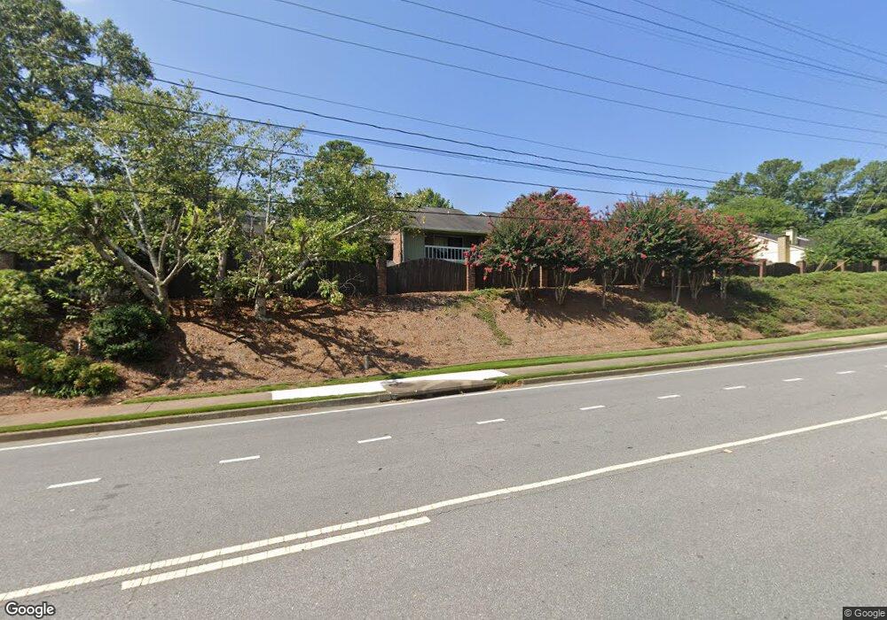
2044 Powers Ferry Trace SE Marietta, GA 30067
Powers Park NeighborhoodEstimated Value: $231,011 - $300,000
2
Beds
3
Baths
1,426
Sq Ft
$176/Sq Ft
Est. Value
About This Home
This home is located at 2044 Powers Ferry Trace SE, Marietta, GA 30067 and is currently estimated at $250,503, approximately $175 per square foot. 2044 Powers Ferry Trace SE is a home located in Cobb County with nearby schools including Marietta Sixth Grade Academy, Lockheed Elementary School, and Marietta Middle School.
Ownership History
Date
Name
Owned For
Owner Type
Purchase Details
Closed on
Aug 20, 2009
Sold by
Chattin Julie
Bought by
Mui Yad M
Current Estimated Value
Home Financials for this Owner
Home Financials are based on the most recent Mortgage that was taken out on this home.
Original Mortgage
$87,200
Outstanding Balance
$56,419
Interest Rate
5.14%
Mortgage Type
New Conventional
Estimated Equity
$194,084
Purchase Details
Closed on
Dec 11, 2007
Sold by
Federal Home Loan Mortgage Corporation
Bought by
Chattin Julie
Purchase Details
Closed on
Sep 4, 2007
Sold by
Chase Hm Fin Llc
Bought by
Federal Home Loan Mortgage Corporation
Create a Home Valuation Report for This Property
The Home Valuation Report is an in-depth analysis detailing your home's value as well as a comparison with similar homes in the area
Home Values in the Area
Average Home Value in this Area
Purchase History
| Date | Buyer | Sale Price | Title Company |
|---|---|---|---|
| Mui Yad M | $109,000 | -- | |
| Chattin Julie | -- | -- | |
| Federal Home Loan Mortgage Corporation | -- | -- | |
| Chase Hm Fin Llc | $98,139 | -- |
Source: Public Records
Mortgage History
| Date | Status | Borrower | Loan Amount |
|---|---|---|---|
| Open | Mui Yad M | $87,200 |
Source: Public Records
Tax History Compared to Growth
Tax History
| Year | Tax Paid | Tax Assessment Tax Assessment Total Assessment is a certain percentage of the fair market value that is determined by local assessors to be the total taxable value of land and additions on the property. | Land | Improvement |
|---|---|---|---|---|
| 2025 | $801 | $94,644 | $34,000 | $60,644 |
| 2024 | $801 | $94,644 | $34,000 | $60,644 |
| 2023 | $801 | $94,644 | $34,000 | $60,644 |
| 2022 | $574 | $67,832 | $12,000 | $55,832 |
| 2021 | $526 | $61,248 | $12,000 | $49,248 |
| 2020 | $447 | $52,088 | $12,000 | $40,088 |
| 2019 | $447 | $52,088 | $12,000 | $40,088 |
| 2018 | $387 | $45,032 | $12,000 | $33,032 |
| 2017 | $250 | $36,288 | $8,000 | $28,288 |
| 2016 | $218 | $31,576 | $5,200 | $26,376 |
| 2015 | $187 | $24,948 | $4,000 | $20,948 |
| 2014 | $193 | $24,948 | $0 | $0 |
Source: Public Records
Map
Nearby Homes
- 2160 Palmyra Dr SE
- 708 Hanover Ln SE
- 2223 Runnymead Ridge SE
- 2240 Runnymead Ridge SE
- 2238 Surrey Ct SE
- 2471 Cedar Brook W
- 2484 Cedar Canyon Rd SE
- 2409 Powers Ferry Dr SE
- 2497 Cedar Canyon Place SE
- 830 Bonnie Glen Dr SE
- 558 Lullingstone Dr SE
- 2330 Trellis Ln SE
- 789 Gardenside Cir SE
- 2952 Chipmunk Trail SE
- 935 Bobcat Ct SE
- 940 Bobcat Ct SE
- 946 Bobcat Ct SE
- 2961 Hawk Ct SE
- 2774 Birch Grove Ln SE Unit 11
- 2514 Sunny Ln SE
- 2048 Powers Ferry Trace SE
- 2038 Powers Ferry Trace SE
- 2028 Powers Ferry Trace SE
- 2040 Powers Ferry Trace SE
- 2036 Powers Ferry Trace SE
- 2034 Powers Ferry Trace SE
- 2032 Powers Ferry Trace SE
- 2010 Powers Ferry Trace SE
- 2016 Powers Ferry Trace SE Unit E
- 2012 Powers Ferry Trace SE Unit 2021
- 2012 Powers Ferry Trace SE
- 2008 Powers Ferry Trace SE
- 2006 Powers Ferry Trace SE
- 2012 Powers Ferry Trace SE Unit 2012
- 2074 Powers Ferry Trace SE Unit 37
- 2058 Powers Ferry Trace SE
- 2074 Powers Ferry Trace SE
- 2060 Powers Ferry Trace SE
- 2054 Powers Ferry Trace SE
- 2070 Powers Ferry Trace SE