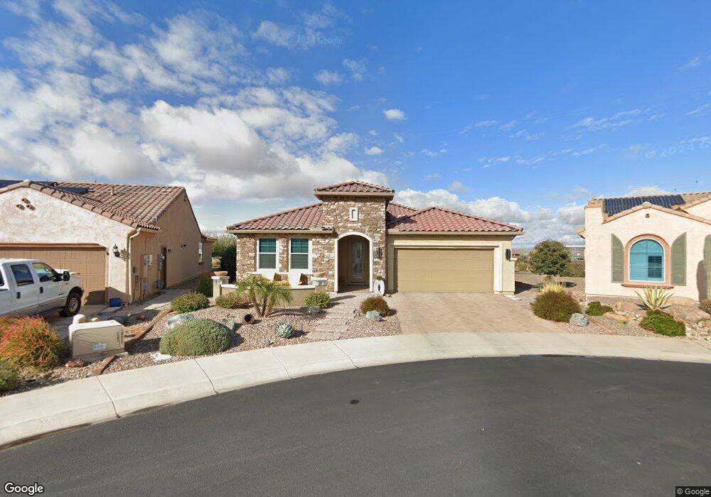
20446 N 275th Dr Buckeye, AZ 85396
Sun City Festival NeighborhoodEstimated Value: $427,000 - $590,000
--
Bed
1
Bath
1,998
Sq Ft
$246/Sq Ft
Est. Value
About This Home
This home is located at 20446 N 275th Dr, Buckeye, AZ 85396 and is currently estimated at $491,104, approximately $245 per square foot. 20446 N 275th Dr is a home with nearby schools including Festival Foothills Elementary School and Wickenburg High School.
Ownership History
Date
Name
Owned For
Owner Type
Purchase Details
Closed on
Oct 28, 2022
Sold by
Liberty Joseph D & Janice R
Bought by
Liberty-Donahue Family Trust
Current Estimated Value
Purchase Details
Closed on
Nov 6, 2017
Sold by
Pulte Home Company Llc
Bought by
Liberty Joseph D and Donahue Janice R
Home Financials for this Owner
Home Financials are based on the most recent Mortgage that was taken out on this home.
Original Mortgage
$239,103
Interest Rate
3.85%
Mortgage Type
New Conventional
Create a Home Valuation Report for This Property
The Home Valuation Report is an in-depth analysis detailing your home's value as well as a comparison with similar homes in the area
Home Values in the Area
Average Home Value in this Area
Purchase History
| Date | Buyer | Sale Price | Title Company |
|---|---|---|---|
| Liberty-Donahue Family Trust | -- | -- | |
| Liberty Joseph D | $298,879 | Pgp Title Inc |
Source: Public Records
Mortgage History
| Date | Status | Borrower | Loan Amount |
|---|---|---|---|
| Previous Owner | Liberty Joseph D | $239,103 |
Source: Public Records
Tax History Compared to Growth
Tax History
| Year | Tax Paid | Tax Assessment Tax Assessment Total Assessment is a certain percentage of the fair market value that is determined by local assessors to be the total taxable value of land and additions on the property. | Land | Improvement |
|---|---|---|---|---|
| 2025 | $2,936 | $25,810 | -- | -- |
| 2024 | $2,690 | $24,581 | -- | -- |
| 2023 | $2,690 | $37,950 | $7,590 | $30,360 |
| 2022 | $2,578 | $31,310 | $6,260 | $25,050 |
| 2021 | $2,576 | $30,460 | $6,090 | $24,370 |
| 2020 | $2,480 | $27,650 | $5,530 | $22,120 |
| 2019 | $2,553 | $26,750 | $5,350 | $21,400 |
| 2018 | $274 | $210 | $210 | $0 |
| 2017 | $269 | $345 | $345 | $0 |
Source: Public Records
Map
Nearby Homes
- 27552 W Tonopah Dr
- 27418 W Mohawk Ln
- 27667 W Mohawk Ln
- 20393 N Wagner Wash Dr
- 27413 W Tonopah Dr
- 20379 N Wagner Wash Dr
- 27416 W Irma Ln
- 20344 N Wagner Wash Dr
- 20328 N Wagner Wash Dr
- 20580 N 273rd Ave
- 27664 W Pontiac Dr
- 21343 N 272nd Ln
- 27396 W Escuda Dr
- 20712 N 273rd Ave
- 20161 N 272nd Ln
- 27283 W Ross Ave
- 27270 W Ross Ave
- 27453 W Wahalla Ln
- 27391 W Wahalla Ln
- 27158 W Potter Dr
- 20434 N 275th Dr
- 20458 N 275th Dr
- 20422 N 275th Dr
- 20459 N 296th Dr
- 20459 N 275th Dr
- 27546 W Tonopah Dr
- 20410 N 275th Dr
- 20445 N 275th Dr
- 20433 N 275th Dr
- 20421 N 275th Dr
- 20421 N 275th Dr
- 20409 N 275th Dr
- 27516 W Tonopah Dr
- 27541 W Tonopah Dr
- 27535 W Tonopah Dr
- 27547 W Tonopah Dr
- 27529 W Tonopah Dr
- 20516 N 274th Ln
- 27510 W Tonopah Dr
- 27630 W Tonopah Dr