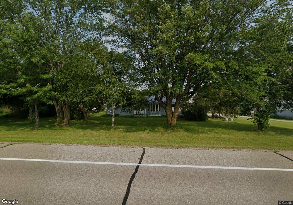
20446 Us Highway 71 Wadena, MN 56482
Estimated Value: $396,000
--
Bed
--
Bath
1,108
Sq Ft
$357/Sq Ft
Est. Value
About This Home
This home is located at 20446 Us Highway 71, Wadena, MN 56482 and is currently estimated at $396,000, approximately $357 per square foot. 20446 Us Highway 71 is a home with nearby schools including Wadena-Deer Creek Elementary School and Wadena-Deer Creek Senior High School.
Ownership History
Date
Name
Owned For
Owner Type
Purchase Details
Closed on
Aug 3, 2021
Sold by
Nelson Rodney A and Nelson Rhonda M
Bought by
Todd Wadena Electric Cooperative
Current Estimated Value
Purchase Details
Closed on
Jan 11, 2019
Sold by
Schwartz Duane and Anderson Virginia
Bought by
Nelson Rodney A and Nelson Rhonda M
Home Financials for this Owner
Home Financials are based on the most recent Mortgage that was taken out on this home.
Original Mortgage
$165,000
Interest Rate
4.8%
Mortgage Type
Commercial
Purchase Details
Closed on
Jan 26, 2001
Sold by
Schwartz Howard L and Schwartz Beatrice A
Bought by
Schwartz Howard L
Create a Home Valuation Report for This Property
The Home Valuation Report is an in-depth analysis detailing your home's value as well as a comparison with similar homes in the area
Home Values in the Area
Average Home Value in this Area
Purchase History
| Date | Buyer | Sale Price | Title Company |
|---|---|---|---|
| Todd Wadena Electric Cooperative | $8,000 | None Available | |
| Nelson Rodney A | $220,000 | None Available | |
| Schwartz Howard L | -- | None Available | |
| -- | $8,000 | -- |
Source: Public Records
Mortgage History
| Date | Status | Borrower | Loan Amount |
|---|---|---|---|
| Previous Owner | Nelson Rodney A | $165,000 |
Source: Public Records
Tax History Compared to Growth
Tax History
| Year | Tax Paid | Tax Assessment Tax Assessment Total Assessment is a certain percentage of the fair market value that is determined by local assessors to be the total taxable value of land and additions on the property. | Land | Improvement |
|---|---|---|---|---|
| 2025 | $1,282 | $351,100 | $238,300 | $112,800 |
| 2024 | $1,282 | $361,700 | $254,700 | $107,000 |
| 2023 | $1,190 | $325,300 | $214,100 | $111,200 |
| 2022 | $1,228 | $290,300 | $205,200 | $85,100 |
| 2021 | $2,754 | $236,200 | $162,600 | $73,600 |
| 2020 | $2,726 | $228,600 | $155,400 | $73,200 |
| 2019 | $2,748 | $224,200 | $153,300 | $70,900 |
| 2018 | $2,892 | $216,100 | $153,300 | $62,800 |
| 2017 | $265 | $214,000 | $150,300 | $63,700 |
| 2016 | $2,778 | $195,902 | $133,476 | $62,426 |
| 2015 | $1,070 | $0 | $0 | $0 |
| 2014 | -- | $0 | $0 | $0 |
Source: Public Records
Map
Nearby Homes
- 12213 200th St
- 21900 U S 71
- 12186 190th St
- 18851 121st Ave
- 121 Putter Ln
- 241 Silo Heights
- 251 Silo Heights Dr
- 13222 176th St
- 10696 Leaf River Rd
- 414 Alfred Ave NW
- 15536 129th Ave
- 17778 County 23
- 13689 Knob Hill Rd
- TBD Ironwood Ave NW
- 625 4th St NW
- xxx 1st St NW
- 1024 Fir Ave NW
- TBD Co Rd 4
- 614 Ash Ave NE
- 113 2nd St SW