2045 Cottonwood Way Driggs, ID 83422
Estimated Value: $1,064,000 - $1,916,252
3
Beds
4
Baths
3,863
Sq Ft
$364/Sq Ft
Est. Value
About This Home
This home is located at 2045 Cottonwood Way, Driggs, ID 83422 and is currently estimated at $1,404,563, approximately $363 per square foot. 2045 Cottonwood Way is a home with nearby schools including Driggs Elementary School and Teton High School.
Ownership History
Date
Name
Owned For
Owner Type
Purchase Details
Closed on
Jan 3, 2025
Sold by
Teton Companies Llc and Calneva Llc
Bought by
Jsk Investments Llc
Current Estimated Value
Purchase Details
Closed on
Jun 27, 2024
Sold by
Norton John E and Oneil Kathy A
Bought by
John E Norton And Kathleen A Oneil Trust and Norton
Purchase Details
Closed on
Oct 16, 2020
Sold by
Norton John E and Oneil Kathy A
Bought by
Norton John E and Oneil Kathleen A
Purchase Details
Closed on
Aug 26, 2020
Sold by
Garfield Douglas Stewart and Garfield Joanne
Bought by
Norton John E and Oneil Kathy A
Create a Home Valuation Report for This Property
The Home Valuation Report is an in-depth analysis detailing your home's value as well as a comparison with similar homes in the area
Home Values in the Area
Average Home Value in this Area
Purchase History
| Date | Buyer | Sale Price | Title Company |
|---|---|---|---|
| Jsk Investments Llc | -- | None Listed On Document | |
| John E Norton And Kathleen A Oneil Trust | -- | None Listed On Document | |
| Norton John E | -- | First American Title Driggs | |
| Norton John E | -- | First American Title |
Source: Public Records
Tax History Compared to Growth
Tax History
| Year | Tax Paid | Tax Assessment Tax Assessment Total Assessment is a certain percentage of the fair market value that is determined by local assessors to be the total taxable value of land and additions on the property. | Land | Improvement |
|---|---|---|---|---|
| 2025 | $3,346 | $1,197,102 | $375,000 | $822,102 |
| 2024 | $3,346 | $1,122,102 | $300,000 | $822,102 |
| 2023 | $3,346 | $1,122,102 | $300,000 | $822,102 |
| 2022 | $3,688 | $990,033 | $275,000 | $715,033 |
| 2021 | $3,457 | $619,823 | $120,000 | $499,823 |
| 2020 | $4,080 | $482,722 | $92,500 | $390,222 |
| 2019 | $3,859 | $465,222 | $75,000 | $390,222 |
| 2018 | $3,866 | $430,586 | $72,500 | $358,086 |
| 2017 | $3,477 | $428,086 | $70,000 | $358,086 |
| 2016 | $3,289 | $384,123 | $65,000 | $319,123 |
| 2015 | $2,587 | $259,084 | $65,000 | $194,084 |
| 2011 | -- | $266,519 | $70,000 | $196,519 |
Source: Public Records
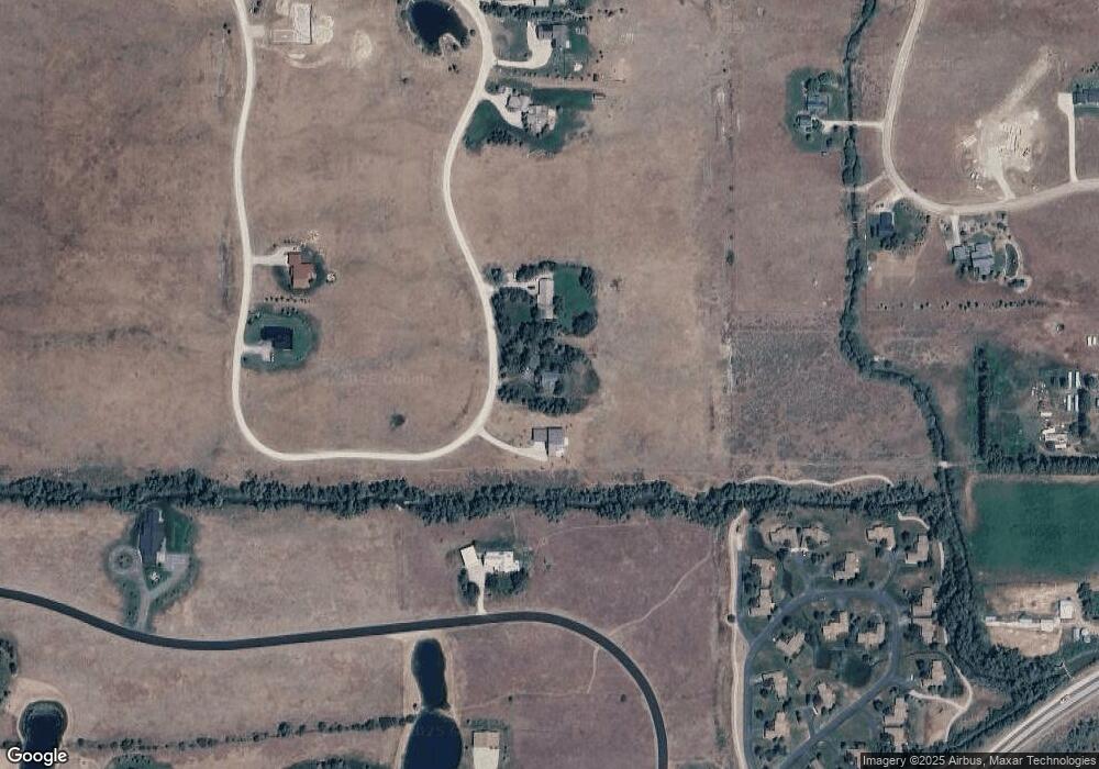
Map
Nearby Homes
- 2339 Talon Cir
- TBD 10 AC. Stateline Rd
- 1830 Mount Davidson Dr
- 1918 Targhee Ridge Dr
- 80 Alta Meadows Rd
- 1515 Table Rock Dr
- 1904 Paintbrush Cir
- TBD Wildflower Way
- 1422 Whitetail Dr
- 1185 Sorensen Way
- 1313 Whitetail Dr
- TBD Sagebrush Rd
- TBD S Stateline Rd
- 1191 Prairie Dog Way
- 250 N 2000 E
- 500 N 2000 E
- 1380 S Sorensen Way
- 2525 N 1000 E
- 1604 Telemark Trail
- TBD N 1000 E
- 2015 Cottonwood Way
- 2085 Cottonwood Way
- 2115 Cottonwood Way
- 238 E Falcon Dr
- 2440 Falcon Creek Dr
- 1850 Cottonwood Way
- 1884 Cottonwood Way
- 2145 Cottonwood Way
- 1814 Cottonwood Way
- 2380 Falcon Creek Dr
- 2175 Cottonwood Way
- 2175 Cottonwood Way
- 1975 Creek Resort Cir Unit 15
- 1772 Cottonwood Way
- 1772 Cottonwood Dr
- 2007 Creek Resort Cir
- 2007 Creek Resort Cir Unit 16
- 2455 Falcon Creek Dr
- 2470 Falcon Creek Dr
- 1971 Creek Resort Cir Unit ID1310717P