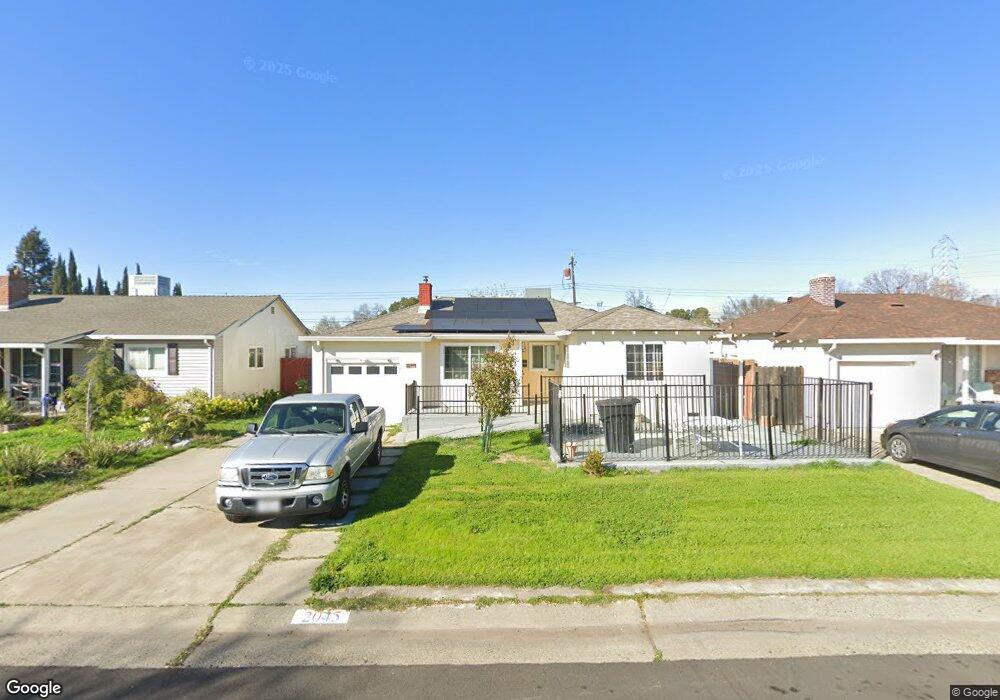
2045 Joan Way Sacramento, CA 95825
Fulton-El Camino NeighborhoodEstimated Value: $365,000 - $411,000
3
Beds
2
Baths
1,158
Sq Ft
$336/Sq Ft
Est. Value
About This Home
This home is located at 2045 Joan Way, Sacramento, CA 95825 and is currently estimated at $388,712, approximately $335 per square foot. 2045 Joan Way is a home located in Sacramento County with nearby schools including Howe Avenue Elementary School, Encina Preparatory High School, and Aspire Alexander Twilight College Preparatory Academy.
Ownership History
Date
Name
Owned For
Owner Type
Purchase Details
Closed on
Jun 13, 2007
Sold by
Parquer Marilyn K
Bought by
Parquer Marilyn K and Parquer Trust
Current Estimated Value
Purchase Details
Closed on
Sep 5, 1996
Sold by
Parquer Marilyn and Parquer Marilyn K
Bought by
Parquer Marilyn
Home Financials for this Owner
Home Financials are based on the most recent Mortgage that was taken out on this home.
Original Mortgage
$20,000
Interest Rate
8.23%
Create a Home Valuation Report for This Property
The Home Valuation Report is an in-depth analysis detailing your home's value as well as a comparison with similar homes in the area
Home Values in the Area
Average Home Value in this Area
Purchase History
| Date | Buyer | Sale Price | Title Company |
|---|---|---|---|
| Parquer Marilyn K | -- | None Available | |
| Parquer Marilyn | -- | Fidelity National Title |
Source: Public Records
Mortgage History
| Date | Status | Borrower | Loan Amount |
|---|---|---|---|
| Closed | Parquer Marilyn | $20,000 |
Source: Public Records
Tax History Compared to Growth
Tax History
| Year | Tax Paid | Tax Assessment Tax Assessment Total Assessment is a certain percentage of the fair market value that is determined by local assessors to be the total taxable value of land and additions on the property. | Land | Improvement |
|---|---|---|---|---|
| 2025 | $1,565 | $132,133 | $54,286 | $77,847 |
| 2024 | $1,565 | $129,543 | $53,222 | $76,321 |
| 2023 | $1,524 | $127,004 | $52,179 | $74,825 |
| 2022 | $1,514 | $124,514 | $51,156 | $73,358 |
| 2021 | $1,487 | $122,073 | $50,153 | $71,920 |
| 2020 | $1,458 | $120,822 | $49,639 | $71,183 |
| 2019 | $1,427 | $118,454 | $48,666 | $69,788 |
| 2018 | $1,407 | $116,132 | $47,712 | $68,420 |
| 2017 | $1,393 | $113,856 | $46,777 | $67,079 |
| 2016 | $1,303 | $111,624 | $45,860 | $65,764 |
| 2015 | $1,280 | $109,949 | $45,172 | $64,777 |
| 2014 | $1,252 | $107,797 | $44,288 | $63,509 |
Source: Public Records
Map
Nearby Homes
- 2001 Bowling Green Dr
- 2100 Bowling Green Dr
- 2008 Bowling Green Dr
- 2405 Ethan Way
- 2046 Edwin Way
- 2106 Keith Way
- 2436 Connie Dr
- 2513 Anna Way
- 2117 Violet St
- 2104 Rockbridge Rd
- 2612 Connie Dr
- 2410 Post Oak Ln
- 2248 Shaw St
- 2736 Connie Dr
- 2155 Whippoorwill Ln
- 2001 Woodstock Way
- 2713 Plover St
- 2560 Princeton St
- 2433 Gwen Dr
- 2818 Plover St