Estimated Value: $339,000 - $377,931
2
Beds
3
Baths
1,376
Sq Ft
$261/Sq Ft
Est. Value
About This Home
This home is located at 2045 W 103rd St S, Peck, KS 67120 and is currently estimated at $358,466, approximately $260 per square foot. 2045 W 103rd St S is a home located in Sedgwick County with nearby schools including Munson Primary School, Mulvane Grade School, and Mulvane Middle School.
Ownership History
Date
Name
Owned For
Owner Type
Purchase Details
Closed on
Aug 5, 2025
Sold by
Carter John M and Carter Carrie
Bought by
John M And Carrie G Carter Living Trust and Carter
Current Estimated Value
Purchase Details
Closed on
May 17, 2000
Sold by
Kezar Roger and Kezar Robyn
Bought by
Carter John M and Carter Carrie
Home Financials for this Owner
Home Financials are based on the most recent Mortgage that was taken out on this home.
Original Mortgage
$112,800
Interest Rate
7.12%
Create a Home Valuation Report for This Property
The Home Valuation Report is an in-depth analysis detailing your home's value as well as a comparison with similar homes in the area
Home Values in the Area
Average Home Value in this Area
Purchase History
| Date | Buyer | Sale Price | Title Company |
|---|---|---|---|
| John M And Carrie G Carter Living Trust | -- | None Listed On Document | |
| Carter John M | -- | Lawyers Title Insurance Corp |
Source: Public Records
Mortgage History
| Date | Status | Borrower | Loan Amount |
|---|---|---|---|
| Previous Owner | Carter John M | $112,800 |
Source: Public Records
Tax History Compared to Growth
Tax History
| Year | Tax Paid | Tax Assessment Tax Assessment Total Assessment is a certain percentage of the fair market value that is determined by local assessors to be the total taxable value of land and additions on the property. | Land | Improvement |
|---|---|---|---|---|
| 2025 | $3,700 | $31,371 | $5,440 | $25,931 |
| 2023 | $3,700 | $24,691 | $5,083 | $19,608 |
| 2022 | $2,914 | $24,691 | $4,738 | $19,953 |
| 2021 | $2,585 | $21,603 | $2,944 | $18,659 |
| 2020 | $2,376 | $20,135 | $2,944 | $17,191 |
| 2019 | $2,525 | $20,620 | $2,542 | $18,078 |
| 2018 | $2,353 | $19,846 | $2,358 | $17,488 |
| 2017 | $2,394 | $0 | $0 | $0 |
| 2016 | $2,333 | $0 | $0 | $0 |
| 2015 | $2,359 | $0 | $0 | $0 |
| 2014 | $2,259 | $0 | $0 | $0 |
Source: Public Records
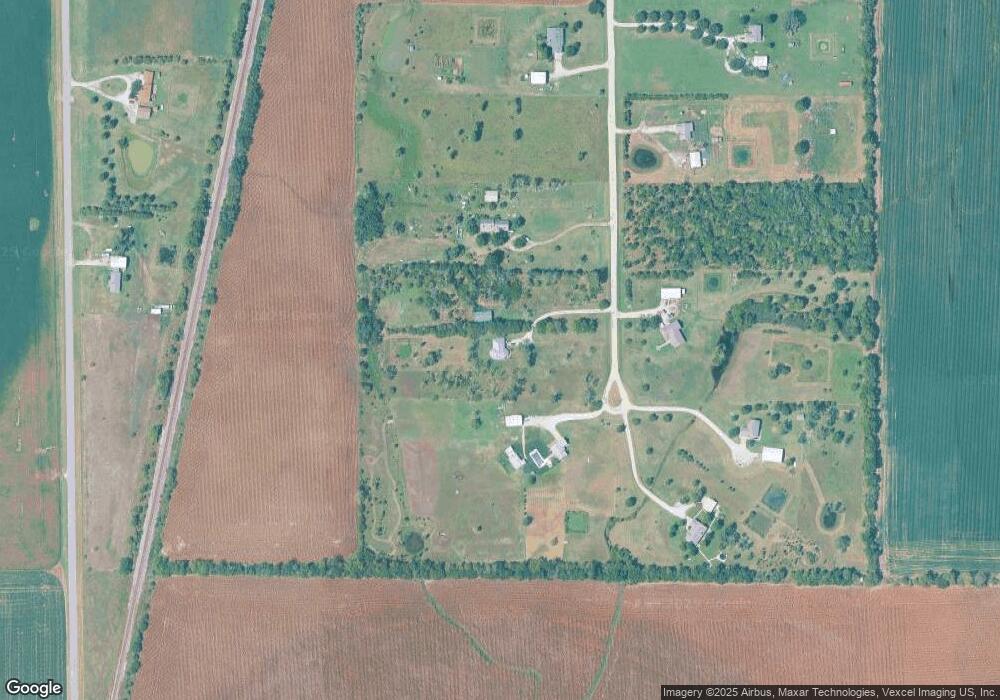
Map
Nearby Homes
- 5200 W 103rd St S
- 9160 S Broadway Ave
- 9735 S Laura St
- 00 E 119th St
- 3722 W 87th St S
- 0 Lot 22 Block 1 Gordon Bennett
- 527 E Gordon Bennett Dr
- 704 E Gordon Bennett Dr
- 5 W 87th St S
- 6 W 87th St S
- 4401 W 111th St S
- 8800 S Broadway
- 00000 E 139th Ave N
- 1038 W 81st St S
- 1357 N Morningview
- 0000 E 136th Ave N
- 510 E Kirby St
- 887 E 136th Ave N
- 812 S Saddle Brooke Ct
- 10475 S Hillside St
- 2049 W 103rd St S
- 2037 W 103rd St S
- 1949 W 103rd St S
- 1955 W 103rd St S
- 1939 W 103rd St S
- 1959 W 103rd St S
- 2059 W 103rd St S
- 10650 S Meridian St
- 1935 W 103rd St S
- 10600 S Meridian St
- 1927 W 103rd St S
- 1925 W 103rd St S
- 10440 S Meridian St
- 1919 W 103rd St S
- 10420 S Meridian St
- 10324 S Meridian St
- 10300 S Meridian St
- 10307 S Meridian St
- 2728 W 103rd St S
- 10222 S Meridian St