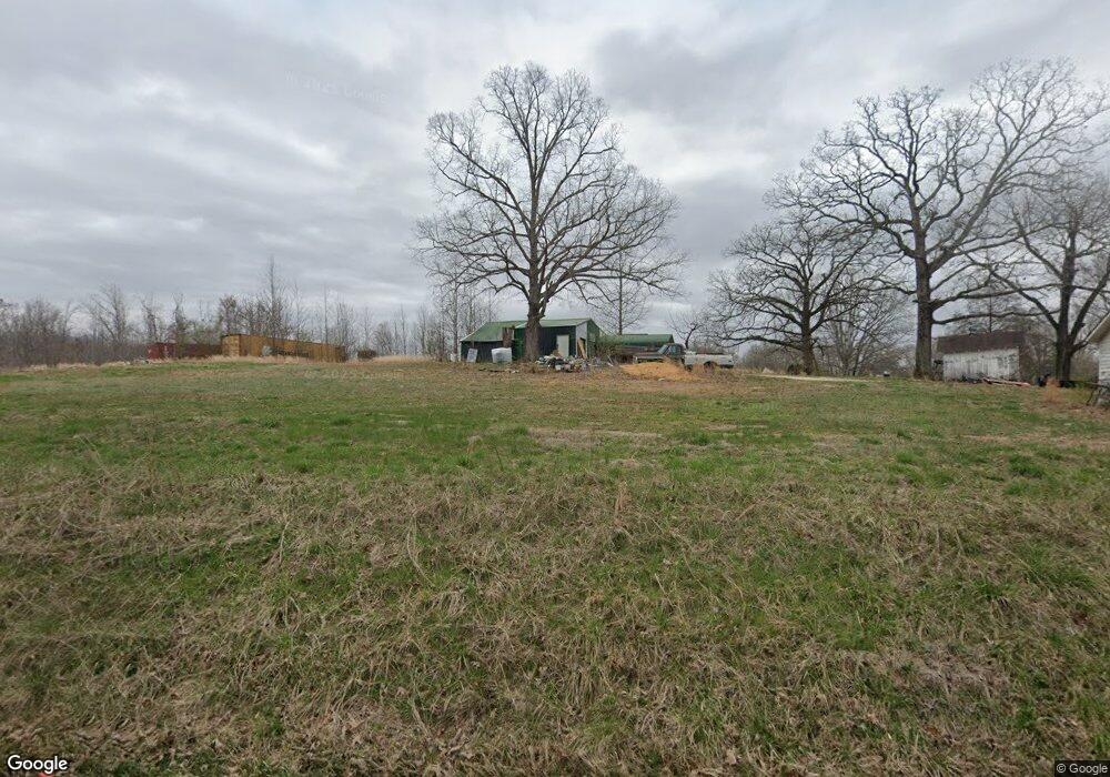
2046 Highway 70 W Camden, TN 38320
Estimated Value: $95,197 - $178,000
--
Bed
1
Bath
960
Sq Ft
$144/Sq Ft
Est. Value
About This Home
This home is located at 2046 Highway 70 W, Camden, TN 38320 and is currently estimated at $138,549, approximately $144 per square foot. 2046 Highway 70 W is a home located in Benton County with nearby schools including Camden Elementary School, Briarwood School, and Camden Junior High School.
Ownership History
Date
Name
Owned For
Owner Type
Purchase Details
Closed on
Mar 30, 2023
Sold by
Malin Dalton
Bought by
Scott Lori
Current Estimated Value
Purchase Details
Closed on
Dec 15, 2003
Bought by
Malin Dalton
Purchase Details
Closed on
Oct 9, 2002
Bought by
Bell Ralph Co Inc
Purchase Details
Closed on
May 26, 1956
Bought by
Bond Wonzie Dell
Create a Home Valuation Report for This Property
The Home Valuation Report is an in-depth analysis detailing your home's value as well as a comparison with similar homes in the area
Home Values in the Area
Average Home Value in this Area
Purchase History
| Date | Buyer | Sale Price | Title Company |
|---|---|---|---|
| Scott Lori | -- | -- | |
| Malin Dalton | $47,500 | -- | |
| Bell Ralph Co Inc | $47,000 | -- | |
| Bond Wonzie Dell | -- | -- |
Source: Public Records
Tax History Compared to Growth
Tax History
| Year | Tax Paid | Tax Assessment Tax Assessment Total Assessment is a certain percentage of the fair market value that is determined by local assessors to be the total taxable value of land and additions on the property. | Land | Improvement |
|---|---|---|---|---|
| 2025 | $517 | $27,400 | $0 | $0 |
| 2024 | $517 | $14,100 | $3,600 | $10,500 |
| 2023 | $517 | $14,100 | $3,600 | $10,500 |
| 2022 | $517 | $14,100 | $3,600 | $10,500 |
| 2021 | $517 | $14,100 | $3,600 | $10,500 |
| 2020 | $517 | $14,100 | $3,600 | $10,500 |
| 2019 | $443 | $11,225 | $3,600 | $7,625 |
| 2018 | $443 | $11,225 | $3,600 | $7,625 |
| 2017 | $443 | $11,225 | $3,600 | $7,625 |
| 2016 | $412 | $10,425 | $2,800 | $7,625 |
| 2015 | $416 | $10,425 | $2,800 | $7,625 |
| 2014 | $284 | $10,425 | $2,800 | $7,625 |
| 2013 | $284 | $7,206 | $0 | $0 |
Source: Public Records
Map
Nearby Homes
- 160 Ginger Ln
- 6010 Highway 70 W
- 3295 Mount Carmel Rd
- 335 Mount Carmel Rd
- 77 Highway 641 S
- 103 Highway 641 N
- 3150 Highway 70 W
- 000 Blackberry Rd
- 435 Bills Dr
- 1 Post Oak Rd
- 166 Westview St
- 144 Post Oak Ave
- 172 W Main St
- 107 Melton Ave
- 180 Post Oak Ave
- 156 W Main St
- 162 Factory St
- 167 Cherokee Ave
- 122 W Lake St
- 2642 Mount Carmel Rd
- 2090 Highway 70 W
- 2020 Highway 70 W
- 2085 Highway 70 W
- 2150 Highway 70 W
- 1970 Highway 70 W
- 944 Overhead Bridge Rd
- 1935 Highway 70 W
- 1920 Highway 70 W
- 955 Overhead Bridge Rd
- 00 Highway 70 W
- 1880 Highway 70 W
- 1880 W 70 Hwy
- 816 Overhead Bridge Rd
- 841 Overhead Bridge Rd
- 1860 Highway 70 W
- 2275 Highway 70 W
- 817 Overhead Bridge Rd
- 2280 Highway 70 W
- 2276 W 70
- 782 Overhead Bridge Rd