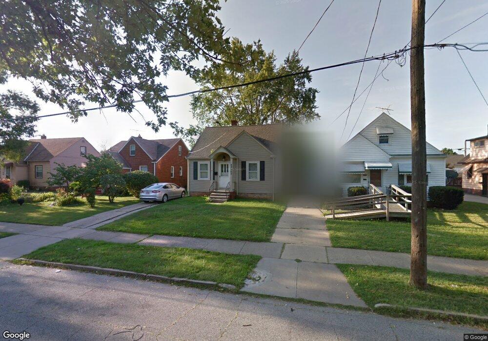
20460 Westport Ave Euclid, OH 44123
Estimated Value: $105,083 - $152,000
3
Beds
1
Bath
1,012
Sq Ft
$127/Sq Ft
Est. Value
About This Home
This home is located at 20460 Westport Ave, Euclid, OH 44123 and is currently estimated at $128,521, approximately $126 per square foot. 20460 Westport Ave is a home located in Cuyahoga County with nearby schools including Arbor Elementary School, Euclid Middle School, and Euclid High School.
Ownership History
Date
Name
Owned For
Owner Type
Purchase Details
Closed on
Mar 28, 1991
Sold by
Kostelic Olga
Bought by
Formica Daniel J
Current Estimated Value
Purchase Details
Closed on
Aug 30, 1990
Sold by
Kostelic Rudolph L and Kostelic Olga
Bought by
Kostelic Olga
Purchase Details
Closed on
Nov 23, 1984
Sold by
Kostelic Rudolph and Kostelic Olga
Bought by
Kostelic Rudolph L and Kostelic Olga
Purchase Details
Closed on
Jan 1, 1975
Bought by
Kostelic Rudolph and Kostelic Olga
Create a Home Valuation Report for This Property
The Home Valuation Report is an in-depth analysis detailing your home's value as well as a comparison with similar homes in the area
Home Values in the Area
Average Home Value in this Area
Purchase History
| Date | Buyer | Sale Price | Title Company |
|---|---|---|---|
| Formica Daniel J | $54,000 | -- | |
| Kostelic Olga | -- | -- | |
| Kostelic Rudolph L | -- | -- | |
| Kostelic Rudolph | -- | -- |
Source: Public Records
Tax History Compared to Growth
Tax History
| Year | Tax Paid | Tax Assessment Tax Assessment Total Assessment is a certain percentage of the fair market value that is determined by local assessors to be the total taxable value of land and additions on the property. | Land | Improvement |
|---|---|---|---|---|
| 2024 | $2,444 | $35,105 | $7,420 | $27,685 |
| 2023 | $1,883 | $21,210 | $5,880 | $15,330 |
| 2022 | $1,842 | $21,210 | $5,880 | $15,330 |
| 2021 | $2,043 | $21,210 | $5,880 | $15,330 |
| 2020 | $1,724 | $16,070 | $4,450 | $11,620 |
| 2019 | $1,545 | $45,900 | $12,700 | $33,200 |
| 2018 | $1,506 | $16,070 | $4,450 | $11,620 |
| 2017 | $1,571 | $13,510 | $2,940 | $10,570 |
| 2016 | $1,575 | $13,510 | $2,940 | $10,570 |
| 2015 | $1,438 | $13,510 | $2,940 | $10,570 |
| 2014 | $1,438 | $13,510 | $2,940 | $10,570 |
Source: Public Records
Map
Nearby Homes
- 20450 Wilmore Ave
- 20671 Wilmore Ave
- 20760 Westport Ave
- 20801 Morris Ave
- 20400 Tracy Ave
- 20101 Tracy Ave
- 21051 Westport Ave
- 20231 Nicholas Ave
- 20830 Tracy Ave
- 311 E 197th St
- 275 E 200th St
- 21181 Ball Ave
- 21030 Priday Ave
- 21170 Wilmore Ave
- 20330 S Lake Shore Blvd
- 21440 Fuller Ave
- 21481 Ball Ave
- 21051 S Lake Shore Blvd
- 21130 Arbor Ave
- 19751 Lake Shore Blvd
- 20440 Westport Ave
- 20500 Westport Ave
- 20420 Westport Ave
- 20530 Westport Ave
- 20471 Wilmore Ave
- 20451 Wilmore Ave
- 20390 Westport Ave
- 20431 Wilmore Ave
- 20550 Westport Ave
- 20531 Wilmore Ave
- 20401 Wilmore Ave
- 20471 Westport Ave
- 20441 Westport Ave
- 20551 Wilmore Ave
- 20431 Westport Ave
- 20350 Westport Ave
- 20521 Westport Ave
- 20570 Westport Ave
- 20421 Westport Ave
- 20371 Wilmore Ave