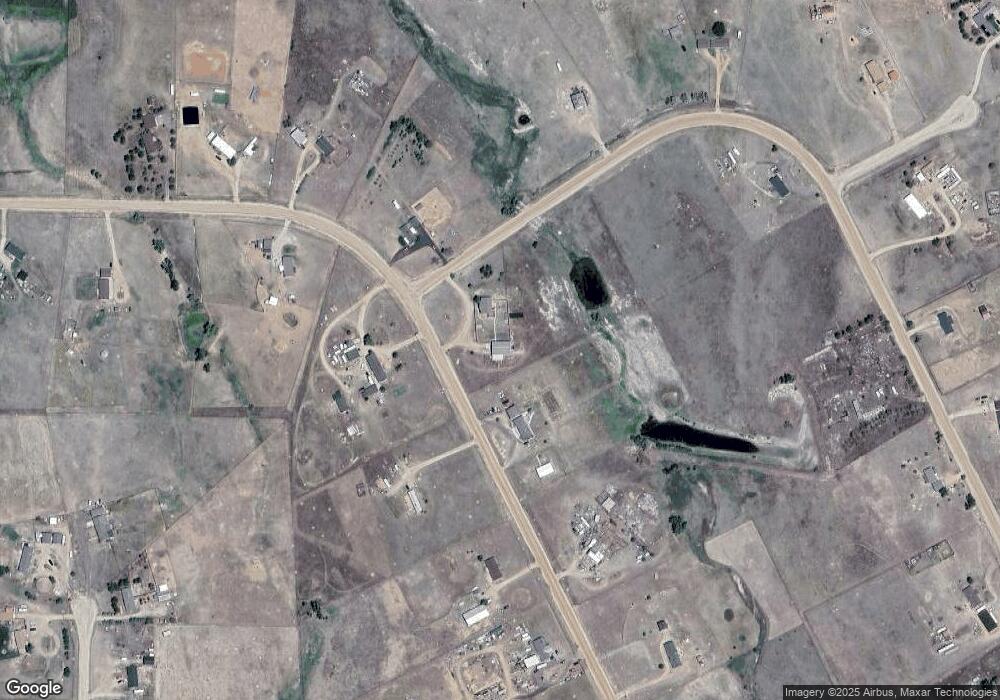
20465 Sahara Dr Peyton, CO 80831
Falcon NeighborhoodEstimated Value: $620,000 - $716,000
5
Beds
3
Baths
3,085
Sq Ft
$215/Sq Ft
Est. Value
About This Home
This home is located at 20465 Sahara Dr, Peyton, CO 80831 and is currently estimated at $664,472, approximately $215 per square foot. 20465 Sahara Dr is a home located in El Paso County with nearby schools including Peyton Elementary School and Peyton Senior High School.
Ownership History
Date
Name
Owned For
Owner Type
Purchase Details
Closed on
Dec 22, 2020
Sold by
Hubbard Justin L and Hubbard Nicole R
Bought by
Davis Kerrv G and Davis Angela Lee
Current Estimated Value
Home Financials for this Owner
Home Financials are based on the most recent Mortgage that was taken out on this home.
Original Mortgage
$505,000
Outstanding Balance
$446,484
Interest Rate
2.7%
Mortgage Type
VA
Estimated Equity
$217,988
Purchase Details
Closed on
Jul 8, 2016
Sold by
Heredia Edmundo and Heredia Andrea R
Bought by
Hubbard Justn L and Hubbard Nicole R
Home Financials for this Owner
Home Financials are based on the most recent Mortgage that was taken out on this home.
Original Mortgage
$390,000
Interest Rate
3.6%
Mortgage Type
VA
Purchase Details
Closed on
Sep 25, 2002
Sold by
Nikstad Edward H and Nikstad Judy A
Bought by
Heredia Edmundo and Heredia Andrea R
Home Financials for this Owner
Home Financials are based on the most recent Mortgage that was taken out on this home.
Original Mortgage
$185,600
Interest Rate
6.21%
Purchase Details
Closed on
Aug 8, 1995
Sold by
Chaussee Michael Dean
Bought by
Nikstad Edward H and Nikstad Judy A
Purchase Details
Closed on
Jun 2, 1993
Bought by
Hubbard Nicole R
Purchase Details
Closed on
Apr 19, 1993
Bought by
Hubbard Nicole R
Purchase Details
Closed on
Dec 18, 1989
Bought by
Hubbard Nicole R
Purchase Details
Closed on
Jun 14, 1985
Bought by
Hubbard Nicole R
Create a Home Valuation Report for This Property
The Home Valuation Report is an in-depth analysis detailing your home's value as well as a comparison with similar homes in the area
Home Values in the Area
Average Home Value in this Area
Purchase History
| Date | Buyer | Sale Price | Title Company |
|---|---|---|---|
| Davis Kerrv G | $505,000 | None Available | |
| Hubbard Justn L | $390,000 | Unified Title Company | |
| Heredia Edmundo | $232,000 | -- | |
| Nikstad Edward H | $16,000 | -- | |
| Hubbard Nicole R | $13,900 | -- | |
| Hubbard Nicole R | $225,000 | -- | |
| Hubbard Nicole R | $16,500 | -- | |
| Hubbard Nicole R | -- | -- |
Source: Public Records
Mortgage History
| Date | Status | Borrower | Loan Amount |
|---|---|---|---|
| Open | Davis Kerrv G | $505,000 | |
| Previous Owner | Hubbard Justn L | $390,000 | |
| Previous Owner | Heredia Edmundo | $185,600 |
Source: Public Records
Tax History Compared to Growth
Tax History
| Year | Tax Paid | Tax Assessment Tax Assessment Total Assessment is a certain percentage of the fair market value that is determined by local assessors to be the total taxable value of land and additions on the property. | Land | Improvement |
|---|---|---|---|---|
| 2025 | $1,574 | $40,980 | -- | -- |
| 2024 | $1,417 | $40,830 | $4,360 | $36,470 |
| 2023 | $1,417 | $40,830 | $4,360 | $36,470 |
| 2022 | $1,486 | $32,350 | $3,440 | $28,910 |
| 2021 | $1,591 | $33,280 | $3,540 | $29,740 |
| 2020 | $1,004 | $27,560 | $3,200 | $24,360 |
| 2019 | $1,334 | $27,560 | $3,200 | $24,360 |
| 2018 | $940 | $18,900 | $2,890 | $16,010 |
| 2017 | $934 | $18,900 | $2,890 | $16,010 |
| 2016 | $886 | $17,890 | $2,990 | $14,900 |
| 2015 | $883 | $17,890 | $2,990 | $14,900 |
| 2014 | $835 | $16,720 | $2,820 | $13,900 |
Source: Public Records
Map
Nearby Homes
- 7880 J D Johnson Rd
- 6885 Sphinx Ct
- 8175 Howdy Partner View
- Parcel 2 Peyton Hwy
- 13642 N Log Rd
- 11950 N Log Rd
- 7545 Log Rd
- 3945 J D Johnson Rd
- 21968 Landrum Place
- 13866 N Log Rd
- 13754 N Log Rd
- 7113 Otoole Dr
- 22255 Falcon Hwy
- 22365 Judge Orr Rd
- 3255 N Log Rd
- 000 Judge Orr Rd
- 21785 Spencer Rd
- 8155 Cowboy Ranch View
- 6315 Peerless Farms Rd
- 5505 Whiting Way
- 20380 Oasis Ave
- 20520 Oasis Ave
- 20420 Oasis Ave
- 20325 Oasis Ave
- 20505 Oasis Ave
- 20330 Oasis Ave
- 20520 Sahara Dr
- 20555 Oasis Ave
- 20560 Oasis Ave
- 20270 Oasis Ave
- 20555 Sahara Dr
- 20605 Oasis Ave
- 20560 Sahara Dr
- 20220 Oasis Ave
- 20235 Oasis Ave
- 20610 Oasis Ave
- 20625 Nile Ct
- 7160 Pyramid Place
- 20620 Nile Ct
- 20680 Sahara Dr
