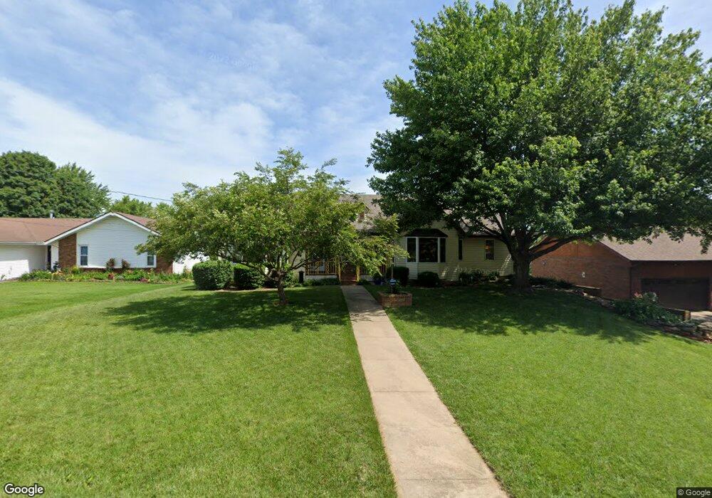
2047 E Camorene St Springfield, MO 65803
Estimated Value: $267,000 - $338,000
3
Beds
3
Baths
1,892
Sq Ft
$154/Sq Ft
Est. Value
About This Home
This home is located at 2047 E Camorene St, Springfield, MO 65803 and is currently estimated at $291,252, approximately $153 per square foot. 2047 E Camorene St is a home located in Greene County with nearby schools including Fremont Elementary School, Pleasant View K-8 School, and Hillcrest High School.
Ownership History
Date
Name
Owned For
Owner Type
Purchase Details
Closed on
Mar 8, 2006
Sold by
Thomas Robert C and Thomas Thelma O
Bought by
Boyd Alisa D and Boyd Kent C
Current Estimated Value
Home Financials for this Owner
Home Financials are based on the most recent Mortgage that was taken out on this home.
Original Mortgage
$22,485
Outstanding Balance
$12,738
Interest Rate
6.21%
Mortgage Type
Stand Alone Second
Estimated Equity
$278,514
Create a Home Valuation Report for This Property
The Home Valuation Report is an in-depth analysis detailing your home's value as well as a comparison with similar homes in the area
Purchase History
| Date | Buyer | Sale Price | Title Company |
|---|---|---|---|
| Boyd Alisa D | -- | None Available |
Source: Public Records
Mortgage History
| Date | Status | Borrower | Loan Amount |
|---|---|---|---|
| Open | Boyd Alisa D | $22,485 | |
| Open | Boyd Alisa D | $119,920 |
Source: Public Records
Tax History
| Year | Tax Paid | Tax Assessment Tax Assessment Total Assessment is a certain percentage of the fair market value that is determined by local assessors to be the total taxable value of land and additions on the property. | Land | Improvement |
|---|---|---|---|---|
| 2025 | $1,721 | $31,820 | $8,320 | $23,500 |
| 2024 | $1,578 | $27,250 | $4,180 | $23,070 |
| 2023 | $1,569 | $27,250 | $4,180 | $23,070 |
| 2022 | $1,547 | $26,330 | $4,180 | $22,150 |
| 2021 | $1,480 | $26,330 | $4,180 | $22,150 |
| 2020 | $1,421 | $24,000 | $4,180 | $19,820 |
| 2019 | $1,381 | $24,000 | $4,180 | $19,820 |
| 2018 | $1,235 | $21,360 | $3,230 | $18,130 |
| 2017 | $1,224 | $21,360 | $3,230 | $18,130 |
| 2016 | $1,222 | $21,360 | $3,230 | $18,130 |
| 2015 | $1,213 | $21,360 | $3,230 | $18,130 |
| 2014 | $1,249 | $22,020 | $3,230 | $18,790 |
Source: Public Records
Map
Nearby Homes
- 3424 N Darwin Ave
- 1923 E Valley Water Mill Rd
- 3815 N Mill Ridge Ave
- 2393 E Valley Water Mill Rd
- 3839 N Stewart Ave
- 4260 N State Highway H
- 3107 N Neergard Ave
- 3975 N Stewart Ave
- 3333 N Delaware Ave
- 1502 E McClernon St
- 1362 E Bonaire Ct
- 3538 N Prince Ln
- 1414 E Smith St
- 3749 N Pickwick Ave
- 3753 N Pickwick Ave
- 1339 E McClernon St
- 1475 E Burntwood St
- 3734 N Rogers Ave
- 1255 E Bonaire Dr
- 1349 E Stoneridge St
- 2055 E Camorene St
- 2039 E Camorene St
- 2063 E Camorene St
- 2031 E Camorene St
- 2046 E Lon St
- 2054 E Lon St
- 2038 E Lon St
- 2050 E Camorene St
- 2062 E Lon St
- 2030 E Lon St
- 2107 E Camorene St
- 2025 E Camorene St
- 2060 E Camorene St
- 2028 E Camorene St
- 2106 E Lon St
- 2115 E Camorene St
- 2110 E Camorene St
- 2114 E Lon St
- 2047 E Lon St
- 2055 E Lon St
Your Personal Tour Guide
Ask me questions while you tour the home.