2047 Gunnison Dr Little Rock, AR 72210
Estimated Value: $727,000 - $992,197
--
Bed
1
Bath
4,597
Sq Ft
$189/Sq Ft
Est. Value
About This Home
This home is located at 2047 Gunnison Dr, Little Rock, AR 72210 and is currently estimated at $871,049, approximately $189 per square foot. 2047 Gunnison Dr is a home located in Saline County with nearby schools including Chenal Elementary School, Joe T. Robinson Middle School, and Joe T. Robinson High School.
Ownership History
Date
Name
Owned For
Owner Type
Purchase Details
Closed on
May 20, 2020
Sold by
Galloway Raymond F and Galloway Lindsey K
Bought by
Fowler William T and Fowler Lori Ann
Current Estimated Value
Home Financials for this Owner
Home Financials are based on the most recent Mortgage that was taken out on this home.
Original Mortgage
$50,000
Interest Rate
3.3%
Mortgage Type
Construction
Purchase Details
Closed on
Jul 19, 2019
Sold by
Johnson David A and Johnson Deanna M
Bought by
Galloway Raymond F and Galloway Lindsey K
Purchase Details
Closed on
Oct 5, 2016
Sold by
Central Arkansas Land Development Llc
Bought by
Johnson David A and Johnson Deanna M
Home Financials for this Owner
Home Financials are based on the most recent Mortgage that was taken out on this home.
Original Mortgage
$101,985
Interest Rate
3.46%
Mortgage Type
Future Advance Clause Open End Mortgage
Create a Home Valuation Report for This Property
The Home Valuation Report is an in-depth analysis detailing your home's value as well as a comparison with similar homes in the area
Home Values in the Area
Average Home Value in this Area
Purchase History
| Date | Buyer | Sale Price | Title Company |
|---|---|---|---|
| Fowler William T | $78,000 | Commerce Ttl & Closing Svcs | |
| Galloway Raymond F | $79,000 | Saline County Abstract | |
| Johnson David A | $67,275 | None Available |
Source: Public Records
Mortgage History
| Date | Status | Borrower | Loan Amount |
|---|---|---|---|
| Closed | Fowler William T | $50,000 | |
| Previous Owner | Johnson David A | $101,985 |
Source: Public Records
Tax History Compared to Growth
Tax History
| Year | Tax Paid | Tax Assessment Tax Assessment Total Assessment is a certain percentage of the fair market value that is determined by local assessors to be the total taxable value of land and additions on the property. | Land | Improvement |
|---|---|---|---|---|
| 2025 | $7,684 | $152,456 | $18,060 | $134,396 |
| 2024 | $7,684 | $152,456 | $18,060 | $134,396 |
| 2023 | $8,619 | $152,456 | $18,060 | $134,396 |
| 2022 | $8,999 | $152,456 | $18,060 | $134,396 |
| 2021 | $1,922 | $12,040 | $12,040 | $0 |
| 2020 | $1,922 | $12,040 | $12,040 | $0 |
| 2019 | $1,922 | $12,040 | $12,040 | $0 |
| 2018 | $1,922 | $12,040 | $12,040 | $0 |
| 2017 | $1,922 | $12,040 | $12,040 | $0 |
Source: Public Records
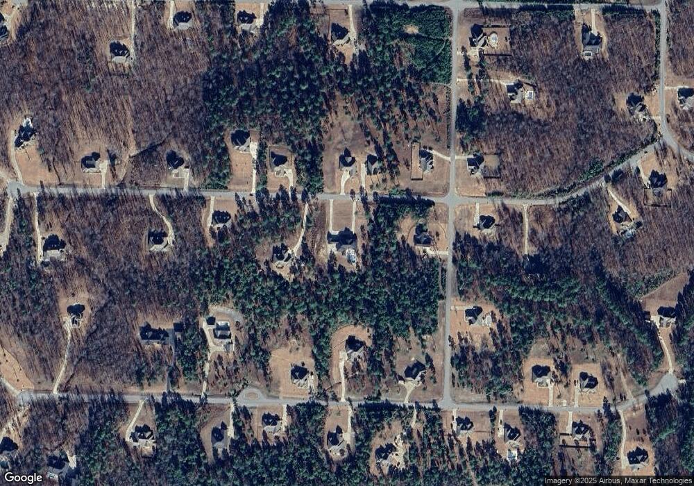
Map
Nearby Homes
- 2056 Gunnison Dr
- 1703 Crested Butte Cir
- 000 W Colonel Glenn Rd
- 12433 Raindrop Ln
- 20377 Congo Ferndale Rd
- 0 Serenity Dr
- 28721 Kanis Rd
- Lot 34 & 35 Brushmountain Trail
- 4.06 acres N Lake Norrell Dr
- 466 Rock Ridge Rd
- 39 Golden Eagle Dr
- 6111 Crestwood Ln
- 225 Red Hawk Cir
- 23 Witness Tree Ln
- 6407 Whipporwill Dr
- 6408 Whipporwill Dr
- 32315 Kanis Rd
- 2110 Brush Mountain Trail
- 6413 Whipporwill Dr
- 44 Bald Eagle Dr
- Lot 175 Gunnison Dr
- Lot 176 Gunnison Dr
- Lot 177 Gunnison Dr
- 0 Gunnison Dr
- Lot 188 Gunnison Dr
- Lot 141 Gunnison Dr
- 2055 Gunnison Dr
- 4057 Monarch Pass
- 4057 Monarch Pass
- 2048 Gunnison Dr
- 4045 Monarch Pass Dr
- 4045 Monarch Pass
- 0 Monarch Pass Dr Unit 15014650
- 0 Monarch Pass Dr Unit 15033521
- 3052 Redrock Rd
- 3060 Redrock Rd
- 2063 Gunnison Dr
- 2031 Gunnison Dr
- 3044 Red Rock Rd
- 2064 Gunnison Dr