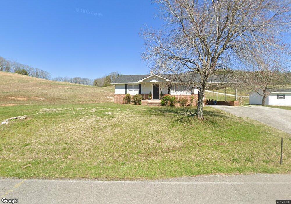
2047 White Oak Rd Dayton, TN 37321
Estimated Value: $693,000 - $755,480
--
Bed
3
Baths
3,753
Sq Ft
$193/Sq Ft
Est. Value
About This Home
This home is located at 2047 White Oak Rd, Dayton, TN 37321 and is currently estimated at $724,240, approximately $192 per square foot. 2047 White Oak Rd is a home located in Rhea County with nearby schools including Rhea County High School.
Ownership History
Date
Name
Owned For
Owner Type
Purchase Details
Closed on
Nov 12, 2013
Sold by
Jones Carl Edward
Bought by
Gravett Rick and Gravett Deborah R
Current Estimated Value
Purchase Details
Closed on
May 17, 2013
Sold by
Wilkey Charles Leonard
Bought by
Gravett Deborah
Purchase Details
Closed on
Sep 8, 2006
Purchase Details
Closed on
Jul 28, 2006
Purchase Details
Closed on
Mar 11, 2002
Purchase Details
Closed on
Mar 8, 2002
Bought by
Gravett Rick and Gravett Debbie
Create a Home Valuation Report for This Property
The Home Valuation Report is an in-depth analysis detailing your home's value as well as a comparison with similar homes in the area
Home Values in the Area
Average Home Value in this Area
Purchase History
| Date | Buyer | Sale Price | Title Company |
|---|---|---|---|
| Gravett Rick | $7,500 | -- | |
| Gravett Deborah | -- | -- | |
| Gravett Deborah | -- | -- | |
| -- | -- | -- | |
| -- | $20,000 | -- | |
| -- | $1,000 | -- | |
| Gravett Rick | $15,000 | -- |
Source: Public Records
Tax History Compared to Growth
Tax History
| Year | Tax Paid | Tax Assessment Tax Assessment Total Assessment is a certain percentage of the fair market value that is determined by local assessors to be the total taxable value of land and additions on the property. | Land | Improvement |
|---|---|---|---|---|
| 2024 | $2,674 | $198,275 | $13,500 | $184,775 |
| 2023 | $2,576 | $114,250 | $8,100 | $106,150 |
| 2022 | $2,576 | $114,250 | $8,100 | $106,150 |
| 2021 | $2,576 | $114,250 | $8,100 | $106,150 |
| 2020 | $2,576 | $114,250 | $8,100 | $106,150 |
| 2019 | $2,576 | $114,250 | $8,100 | $106,150 |
| 2018 | $2,037 | $92,725 | $7,050 | $85,675 |
| 2017 | $2,037 | $92,725 | $7,050 | $85,675 |
| 2016 | $2,037 | $92,725 | $7,050 | $85,675 |
| 2015 | $1,944 | $92,725 | $7,050 | $85,675 |
| 2014 | $1,944 | $92,725 | $7,050 | $85,675 |
| 2013 | -- | $114,200 | $28,525 | $85,675 |
Source: Public Records
Map
Nearby Homes
- 2291 Walnut Grove Church Rd
- 165 Blue Sky Dr
- 0 Blue Sky Dr Unit 1515022
- 0 Blue Sky Dr Unit RTC2918163
- 0 Blue Sky Dr Unit RTC2918178
- 0 Blue Sky Dr Unit 1515026
- 0 Blue Sky Dr Unit 1515023
- 0 Blue Sky Dr Unit 1515024
- 0 Blue Sky Dr Unit RTC2918162
- 170 Blue Sky Dr
- 66 New Union Rd
- 3 Cottonport Rd
- 0 Boulder Ln
- 295 Sky Dr
- 645 Arlis Ave
- 146 Hunters Walk
- 974 Grassy Branch Rd
- 320 Oak View Ln
- 410 Pioneer Trail
- 2111 White Oak Rd
- 2035 White Oak Rd
- 2050 White Oak Rd
- 321 Wilkey Rd
- 436 Wilkey Rd
- 2143 White Oak Rd
- 1900 White Oak Rd
- 1848 White Oak Rd
- 381 Wilkey Rd
- 2152 White Oak Rd
- 413 Wilkey Rd
- 1778 White Oak Rd
- 2188 White Oak Rd
- 468 Wilkey Rd
- 481 Wilkey Rd
- 494 Wilkey Rd
- 491 Wilkey Rd
- 2281 White Oak Rd
- 544 Wilkey Rd
- 115 Hammer Ln