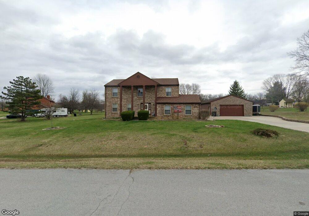
2048 Broken Trail Dr Springfield, OH 45502
Estimated Value: $413,022 - $471,000
5
Beds
3
Baths
2,512
Sq Ft
$171/Sq Ft
Est. Value
About This Home
This home is located at 2048 Broken Trail Dr, Springfield, OH 45502 and is currently estimated at $430,506, approximately $171 per square foot. 2048 Broken Trail Dr is a home located in Clark County with nearby schools including Greenon Elementary School, Greenon Jr. High School, and Greenon High School.
Ownership History
Date
Name
Owned For
Owner Type
Purchase Details
Closed on
Nov 14, 2016
Sold by
Clark John B and Clark Lisa L
Bought by
Desmarais Shaun P and Desmarais Jessica E
Current Estimated Value
Home Financials for this Owner
Home Financials are based on the most recent Mortgage that was taken out on this home.
Original Mortgage
$263,000
Outstanding Balance
$209,776
Interest Rate
3.47%
Mortgage Type
VA
Estimated Equity
$220,730
Purchase Details
Closed on
Oct 25, 2007
Sold by
Clark John B and Clark Lisa L
Bought by
Clark John B and Clark Lisa L
Purchase Details
Closed on
May 14, 1999
Sold by
Erickson June L
Bought by
Clark John B
Home Financials for this Owner
Home Financials are based on the most recent Mortgage that was taken out on this home.
Original Mortgage
$147,600
Interest Rate
6.87%
Create a Home Valuation Report for This Property
The Home Valuation Report is an in-depth analysis detailing your home's value as well as a comparison with similar homes in the area
Purchase History
| Date | Buyer | Sale Price | Title Company |
|---|---|---|---|
| Desmarais Shaun P | $263,000 | Home Services Title | |
| Clark John B | -- | Attorney | |
| Clark John B | $164,000 | Ati Title Agency Of Ohio Inc |
Source: Public Records
Mortgage History
| Date | Status | Borrower | Loan Amount |
|---|---|---|---|
| Open | Desmarais Shaun P | $263,000 | |
| Previous Owner | Clark John B | $147,600 |
Source: Public Records
Tax History
| Year | Tax Paid | Tax Assessment Tax Assessment Total Assessment is a certain percentage of the fair market value that is determined by local assessors to be the total taxable value of land and additions on the property. | Land | Improvement |
|---|---|---|---|---|
| 2025 | $5,926 | $114,990 | $20,760 | $94,230 |
| 2024 | $5,786 | $110,470 | $18,750 | $91,720 |
| 2023 | $5,786 | $110,470 | $18,750 | $91,720 |
| 2022 | $5,781 | $110,470 | $18,750 | $91,720 |
| 2021 | $4,227 | $71,730 | $14,540 | $57,190 |
| 2020 | $4,238 | $71,730 | $14,540 | $57,190 |
| 2019 | $4,296 | $71,730 | $14,540 | $57,190 |
| 2018 | $4,282 | $69,910 | $14,100 | $55,810 |
| 2017 | $4,293 | $74,827 | $14,098 | $60,729 |
| 2016 | $3,741 | $74,827 | $14,098 | $60,729 |
| 2015 | $3,487 | $69,924 | $14,536 | $55,388 |
| 2014 | $3,494 | $69,924 | $14,536 | $55,388 |
| 2013 | $3,074 | $69,924 | $14,536 | $55,388 |
Source: Public Records
Map
Nearby Homes
- 2925 S Tecumseh Rd
- 3183 Lower Valley Pike
- 3190 Rebert Pike
- 1513 Ridgeway Dr
- 1290 Red Oaks Cir
- 3319 Wendover St
- 206 S Tecumseh Rd
- 3267 Lower Valley Pike Unit Tract 2
- 3864 Quailhollow Ct
- 128 Ravenwood Dr
- 124 Old Mill Rd
- 4909 Shannon Ave
- 100 Green Valley Dr
- 303 E Main St
- 4461 New Carlisle Pike
- 2170 Fairfield Pike
- 141 N Xenia Dr
- 3924 Schenley St
- 5152 S Tecumseh Rd
- 190 Oakridge Dr
- 2040 Broken Trail Dr
- 2060 Broken Trail Dr
- 2049 Sundance St
- 2047 Broken Trail Dr
- 2057 Sundance St
- 2037 Broken Trail Dr
- 2055 Broken Trail Dr
- 2039 Sundance St
- 2031 Broken Trail Dr
- 4325 Lone Wolf Ave
- 4333 Lone Wolf Ave
- 2050 Sundance Dr
- 2023 Sundance St
- 4317 Lone Wolf Ave
- 2042 Sundance St
- 2050 Sundance St
- 4341 Lone Wolf Ave
- 2058 Sundance St
- 2034 Sundance St
- 2026 Sundance Dr
Your Personal Tour Guide
Ask me questions while you tour the home.