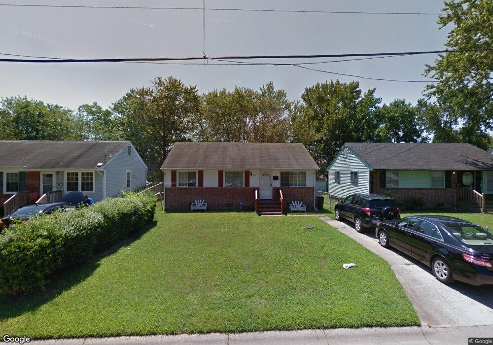
2048 Richard Ave Hampton, VA 23664
Buckroe Beach NeighborhoodEstimated Value: $158,000 - $204,000
3
Beds
1
Bath
975
Sq Ft
$185/Sq Ft
Est. Value
About This Home
This home is located at 2048 Richard Ave, Hampton, VA 23664 and is currently estimated at $180,498, approximately $185 per square foot. 2048 Richard Ave is a home located in Hampton City with nearby schools including Benjamin Syms Middle School, Phoebus High School, and Gloria Dei Lutheran School.
Ownership History
Date
Name
Owned For
Owner Type
Purchase Details
Closed on
May 27, 1999
Sold by
Harris Margaret J
Bought by
Lewis Rhonda M
Current Estimated Value
Home Financials for this Owner
Home Financials are based on the most recent Mortgage that was taken out on this home.
Original Mortgage
$55,800
Outstanding Balance
$14,438
Interest Rate
6.82%
Estimated Equity
$166,060
Create a Home Valuation Report for This Property
The Home Valuation Report is an in-depth analysis detailing your home's value as well as a comparison with similar homes in the area
Home Values in the Area
Average Home Value in this Area
Purchase History
| Date | Buyer | Sale Price | Title Company |
|---|---|---|---|
| Lewis Rhonda M | $55,900 | -- |
Source: Public Records
Mortgage History
| Date | Status | Borrower | Loan Amount |
|---|---|---|---|
| Open | Lewis Rhonda M | $55,800 |
Source: Public Records
Tax History
| Year | Tax Paid | Tax Assessment Tax Assessment Total Assessment is a certain percentage of the fair market value that is determined by local assessors to be the total taxable value of land and additions on the property. | Land | Improvement |
|---|---|---|---|---|
| 2025 | $2,081 | $171,300 | $58,000 | $113,300 |
| 2024 | $1,912 | $166,300 | $58,000 | $108,300 |
| 2023 | $1,622 | $139,800 | $50,000 | $89,800 |
| 2022 | $1,582 | $134,100 | $45,000 | $89,100 |
| 2021 | $1,537 | $113,500 | $40,000 | $73,500 |
| 2020 | $1,228 | $99,000 | $36,000 | $63,000 |
| 2019 | $1,218 | $98,200 | $36,000 | $62,200 |
| 2018 | $1,255 | $93,600 | $29,800 | $63,800 |
| 2017 | $1,255 | $0 | $0 | $0 |
| 2016 | $1,255 | $93,600 | $0 | $0 |
| 2015 | $1,255 | $0 | $0 | $0 |
| 2014 | $1,245 | $93,600 | $29,800 | $63,800 |
Source: Public Records
Map
Nearby Homes
- 2051 Richard Ave
- 2112 E Pembroke Ave
- 714 Grove St
- 515 Buckroe Ave
- 1527 Grove St
- 9 Bayview Ct
- 1622 Old Buckroe Rd
- 405 Buckroe Ave
- 123 N Sixth St
- 1640 Old Buckroe Rd
- 1642 Old Buckroe Rd
- 420 Tappan Ave
- 2013 N Mallory St
- 112 S 2nd St
- 1642 N Mallory St
- 214 N Fifth St
- 212 N Sixth St
- 214 N 5th St
- 9 Rust St
- 1904 Nickerson Blvd
- 2046 Richard Ave
- 2050 Richard Ave
- 2052 Richard Ave
- 2044 Richard Ave
- 2042 Richard Ave
- 2054 Richard Ave
- 2047 Richard Ave
- 2056 Richard Ave
- 2043 Richard Ave
- 2038 Richard Ave
- 2049 Richard Ave
- 2111 E Pembroke Ave
- 2039 Richard Ave
- 2037 Richard Ave
- 2058 Richard Ave
- 2053 Richard Ave
- 2131 E Pembroke Ave
- 2036 Richard Ave
- 2055 Richard Ave
- 2034 Richard Ave
Your Personal Tour Guide
Ask me questions while you tour the home.