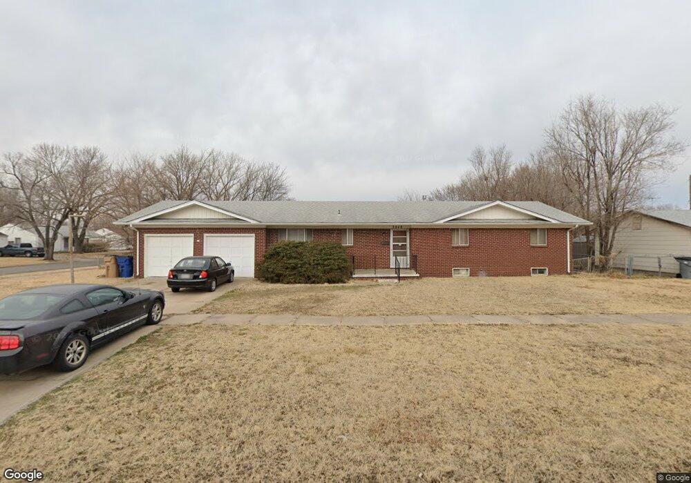
2048 W 27th St S Wichita, KS 67217
Southwest Wichita NeighborhoodEstimated Value: $190,097 - $215,000
3
Beds
2
Baths
1,383
Sq Ft
$146/Sq Ft
Est. Value
About This Home
This home is located at 2048 W 27th St S, Wichita, KS 67217 and is currently estimated at $202,549, approximately $146 per square foot. 2048 W 27th St S is a home located in Sedgwick County with nearby schools including Woodman Elementary School, Truesdell Middle School, and Wichita High School South.
Ownership History
Date
Name
Owned For
Owner Type
Purchase Details
Closed on
May 11, 2018
Sold by
Owens Melanie Jo and Estate Of George W Houston
Bought by
Houston George W
Current Estimated Value
Home Financials for this Owner
Home Financials are based on the most recent Mortgage that was taken out on this home.
Original Mortgage
$32,989
Outstanding Balance
$6,839
Interest Rate
4.4%
Mortgage Type
New Conventional
Estimated Equity
$195,710
Create a Home Valuation Report for This Property
The Home Valuation Report is an in-depth analysis detailing your home's value as well as a comparison with similar homes in the area
Home Values in the Area
Average Home Value in this Area
Purchase History
| Date | Buyer | Sale Price | Title Company |
|---|---|---|---|
| Houston George W | $41,236 | Security 1St Title Llc |
Source: Public Records
Mortgage History
| Date | Status | Borrower | Loan Amount |
|---|---|---|---|
| Open | Houston George W | $32,989 |
Source: Public Records
Tax History Compared to Growth
Tax History
| Year | Tax Paid | Tax Assessment Tax Assessment Total Assessment is a certain percentage of the fair market value that is determined by local assessors to be the total taxable value of land and additions on the property. | Land | Improvement |
|---|---|---|---|---|
| 2025 | $1,882 | $19,528 | $2,657 | $16,871 |
| 2023 | $1,882 | $17,918 | $1,691 | $16,227 |
| 2022 | $1,709 | $15,571 | $1,587 | $13,984 |
| 2021 | $1,668 | $14,686 | $1,587 | $13,099 |
| 2020 | $1,562 | $13,720 | $1,587 | $12,133 |
| 2019 | $1,488 | $13,064 | $1,587 | $11,477 |
| 2018 | $1,418 | $12,444 | $1,599 | $10,845 |
| 2017 | $1,366 | $0 | $0 | $0 |
| 2016 | $1,363 | $0 | $0 | $0 |
| 2015 | $1,354 | $0 | $0 | $0 |
| 2014 | $1,326 | $0 | $0 | $0 |
Source: Public Records
Map
Nearby Homes
- 2751 S Bennett Ave
- 2840 S Hiram Ave
- 2309 W 27th St S
- 2328 W Wildwood Rd
- 2908 S Glenn Ave
- 3009 S Glenn Ave
- 2920 S Vine St
- 3051 S Euclid Ave
- 1714 W Anita Ave
- 1709 W Dallas St
- 2460 S Bennett Ave
- 2456 S Everett St
- 2449 S Bennett Ave
- 2415 W Southgate St
- 2421 S Bennett Ave
- 3039 S Millwood Ave
- 2627 W Hadden Ave
- 2926 S Edwards Ave
- 2337 S Glenn Ave
- 1617 W 30th St S
- 2042 W 27th St S
- 2768 S Bennett Ave
- 2804 S Bennett Ave
- 2769 S Bennett Ave
- 2760 S Bennett Ave
- 2763 S Bennett Ave
- 2034 W 27th St S
- 2757 S Bennett Ave
- 2745 S Hiram Ct
- 2803 S Bonn Ave
- 2751 S Hiram Ct
- 2810 S Bennett Ave
- 2803 S Bennett Ave
- 2752 S Bennett Ave
- 2030 W 27th St S
- 2809 S Bennett Ave
- 2809 S Bonn Ave
- 2816 S Bennett Ave
- 2745 S Bennett Ave
- 2815 S Bonn Ave