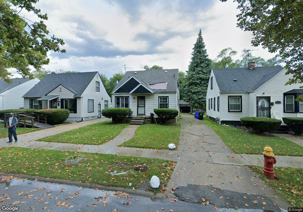
20484 Helen St Detroit, MI 48234
Sherwood NeighborhoodEstimated Value: $58,931 - $80,000
3
Beds
1
Bath
1,080
Sq Ft
$64/Sq Ft
Est. Value
About This Home
This home is located at 20484 Helen St, Detroit, MI 48234 and is currently estimated at $69,233, approximately $64 per square foot. 20484 Helen St is a home located in Wayne County with nearby schools including Marion Law Academy, Edward 'Duke' Ellington Conservatory of Music and Art, and Charles L. Spain Elementary-Middle School.
Ownership History
Date
Name
Owned For
Owner Type
Purchase Details
Closed on
Feb 12, 2019
Sold by
City Of Detroit
Bought by
United Community Housing Coalition
Current Estimated Value
Purchase Details
Closed on
Oct 22, 2018
Sold by
Wayne County Treasurer
Bought by
City Of Detroit Planning And Development
Purchase Details
Closed on
Sep 26, 2008
Sold by
Preston Steven C
Bought by
Hall Alisha
Purchase Details
Closed on
Jun 22, 2005
Sold by
Sanders Joanne
Bought by
Chase Mortgage Co and Chase Manhattan Mortgage Corp
Create a Home Valuation Report for This Property
The Home Valuation Report is an in-depth analysis detailing your home's value as well as a comparison with similar homes in the area
Home Values in the Area
Average Home Value in this Area
Purchase History
| Date | Buyer | Sale Price | Title Company |
|---|---|---|---|
| United Community Housing Coalition | $158,725 | None Available | |
| City Of Detroit Planning And Development | $3,447 | None Available | |
| Hall Alisha | $2,600 | None Available | |
| Chase Mortgage Co | $67,153 | -- |
Source: Public Records
Tax History Compared to Growth
Tax History
| Year | Tax Paid | Tax Assessment Tax Assessment Total Assessment is a certain percentage of the fair market value that is determined by local assessors to be the total taxable value of land and additions on the property. | Land | Improvement |
|---|---|---|---|---|
| 2025 | $125 | $22,100 | $0 | $0 |
| 2024 | $125 | $0 | $0 | $0 |
| 2023 | $120 | $0 | $0 | $0 |
| 2022 | $1,055 | $12,800 | $0 | $0 |
| 2021 | $1,028 | $9,300 | $0 | $0 |
| 2020 | $1,028 | $8,900 | $0 | $0 |
| 2019 | $0 | $0 | $0 | $0 |
| 2018 | $528 | $5,800 | $0 | $0 |
| 2017 | $91 | $4,800 | $0 | $0 |
| 2016 | $1,026 | $14,700 | $0 | $0 |
| 2015 | $1,300 | $13,000 | $0 | $0 |
| 2013 | $1,627 | $16,274 | $0 | $0 |
| 2010 | -- | $23,872 | $697 | $23,175 |
Source: Public Records
Map
Nearby Homes
- 20485 Helen St
- 20514 Concord St
- 7052 Rivard Ave
- 7003 Rivard Ave
- 20185 Carrie St
- 20161 Helen St
- 20170 Carrie St
- 20151 Carrie St
- 7029 Jackson Ave
- 20400 Packard St
- 7028 Yacht Ave
- 20035 Carrie St
- 20466 Spencer St
- 20009 Concord St
- 20000 Concord St
- 20043 Packard St
- 7534 Fisher Ave
- 19987 Carrie St
- 20215 Stotter St
- 7044 Westminster Ave
- 20492 Helen St
- 20474 Helen St
- 20468 Helen St
- 20460 Helen St
- 20500 Helen St
- 20485 Carrie St
- 20452 Helen St
- 20469 Carrie St
- 20442 Helen St
- 20514 Helen St
- 20459 Carrie St Unit Bldg-Unit
- 20459 Carrie St
- 20493 Carrie St
- 20451 Carrie St
- 20443 Carrie St
- 20495 Carrie St
- 20477 Helen St
- 20519 Helen St
- 20469 Helen St
- 20434 Helen St