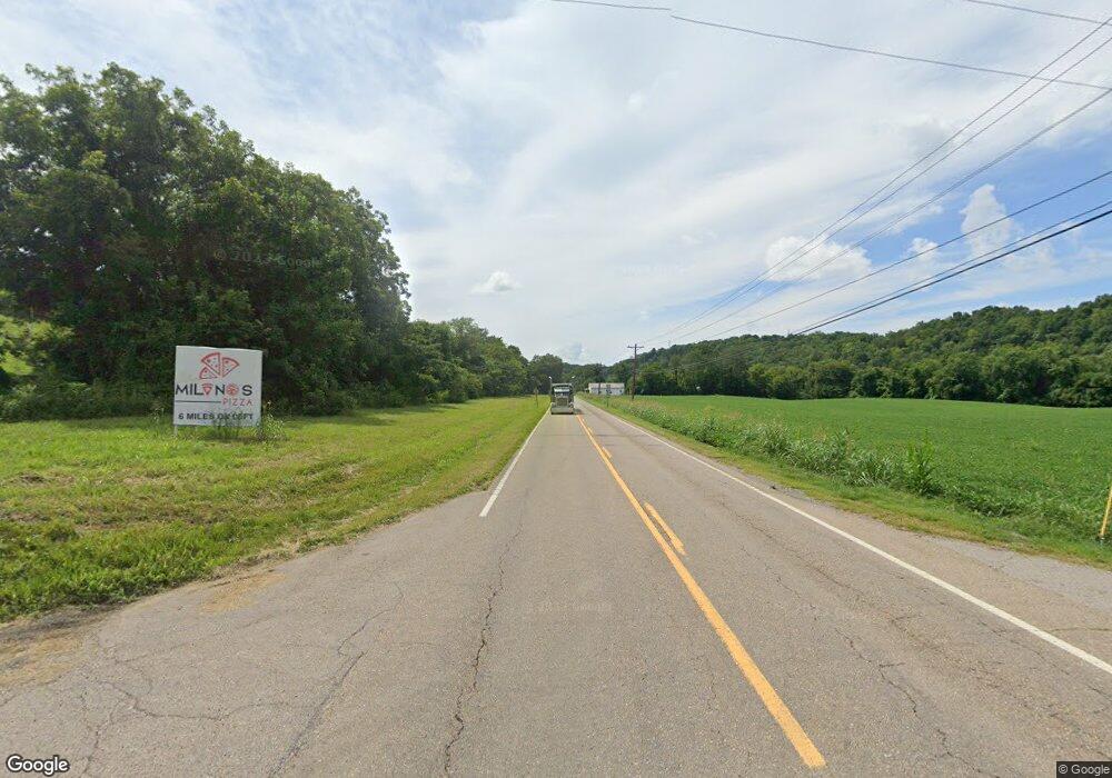
2049 E Highway 25 70 Dandridge, TN 37725
Estimated Value: $280,000 - $459,000
2
Beds
1
Bath
1,074
Sq Ft
$357/Sq Ft
Est. Value
About This Home
This home is located at 2049 E Highway 25 70, Dandridge, TN 37725 and is currently estimated at $383,120, approximately $356 per square foot. 2049 E Highway 25 70 is a home located in Jefferson County.
Ownership History
Date
Name
Owned For
Owner Type
Purchase Details
Closed on
Jan 27, 2022
Sold by
Hawkins Barbara L
Bought by
Mitchell Regina M
Current Estimated Value
Purchase Details
Closed on
Feb 24, 1999
Sold by
Ramsey James F
Bought by
Charles Hawkins
Purchase Details
Closed on
Oct 24, 1995
Bought by
Jones John D
Purchase Details
Closed on
Sep 18, 1989
Bought by
Ramsey James F
Purchase Details
Closed on
Jun 28, 1988
Bought by
Hawkins Charles A and Hawkins Barbara L
Purchase Details
Closed on
Jun 20, 1945
Bought by
Holt Hollis Edgar
Create a Home Valuation Report for This Property
The Home Valuation Report is an in-depth analysis detailing your home's value as well as a comparison with similar homes in the area
Home Values in the Area
Average Home Value in this Area
Purchase History
| Date | Buyer | Sale Price | Title Company |
|---|---|---|---|
| Mitchell Regina M | -- | None Listed On Document | |
| Charles Hawkins | $35,000 | -- | |
| Jones John D | $24,900 | -- | |
| Ramsey James F | -- | -- | |
| Hawkins Charles A | $40,000 | -- | |
| Holt Hollis Edgar | -- | -- |
Source: Public Records
Tax History Compared to Growth
Tax History
| Year | Tax Paid | Tax Assessment Tax Assessment Total Assessment is a certain percentage of the fair market value that is determined by local assessors to be the total taxable value of land and additions on the property. | Land | Improvement |
|---|---|---|---|---|
| 2025 | $941 | $65,800 | $39,875 | $25,925 |
| 2023 | $682 | $29,650 | $0 | $0 |
| 2022 | $737 | $33,675 | $20,425 | $13,250 |
| 2021 | $737 | $33,675 | $20,425 | $13,250 |
| 2020 | $737 | $33,675 | $20,425 | $13,250 |
| 2019 | $737 | $33,675 | $20,425 | $13,250 |
| 2018 | $760 | $32,350 | $19,475 | $12,875 |
| 2017 | $760 | $32,350 | $19,475 | $12,875 |
| 2016 | $760 | $32,350 | $19,475 | $12,875 |
| 2015 | $760 | $32,350 | $19,475 | $12,875 |
| 2014 | $760 | $32,350 | $19,475 | $12,875 |
Source: Public Records
Map
Nearby Homes
- 1009 Old Newport Hwy
- 2943 Flicker Ln
- lot 5 Deerwood Dr & Sunset Harbor Dr
- 0 Sunset Harbor Dr Unit 1308337
- Lot 70r Lakeside Ct
- Lot 69 Deerwood Dr
- Lot 5 Deerwood Dr
- Lot 43 Sunset Harbor Dr
- 102 Ridgeline Trail
- Lot 20 Plantation Point Dr
- 169 Plantation Point Dr
- 630 Douglas Ridge Dr
- Lot 92 Harbor Ridge Ln
- 455 Sunset Harbor Dr
- Lot 79 Harbor Ridge Ln
- 843 Clear Sail Way
- 1410 Clear Point Trail
- 1023 Stokley Ct
- Lot 72 Clear Point Trail
- Lot 74 Clear Point Trail
- 2048 E Highway 25 70
- 2042 E Highway 25 70
- 2056 E Highway 25 70
- 2056 E Highway 25-70
- 2029 E Highway 25 70
- 2029 E Highway 25 70
- 2065 E Highway 25 70
- 2809 Fain Rd
- 2068 E Highway 25 70
- 2077 E Highway 25 70
- 2081 E Highway 25 70
- 2817 Fain Rd
- 2081 Highway
- 2082 E Highway 25 70
- 993 Old Newport Hwy
- 997 Old Newport Hwy
- 989 Old Newport Hwy
- 1005 Old Newport Hwy
- 2929 Flicker Ln
- 1007 Old Newport Hwy
