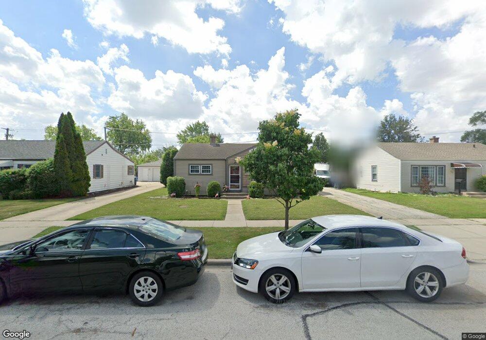
2049 Fargo Ave Des Plaines, IL 60018
Estimated Value: $279,000 - $330,000
2
Beds
1
Bath
892
Sq Ft
$346/Sq Ft
Est. Value
About This Home
This home is located at 2049 Fargo Ave, Des Plaines, IL 60018 and is currently estimated at $308,214, approximately $345 per square foot. 2049 Fargo Ave is a home located in Cook County with nearby schools including South Elementary School, Algonquin Middle School, and Maine West High School.
Ownership History
Date
Name
Owned For
Owner Type
Purchase Details
Closed on
Jan 21, 2016
Sold by
Rings William H and Rings Lorianne L
Bought by
Rings Lorianne L
Current Estimated Value
Home Financials for this Owner
Home Financials are based on the most recent Mortgage that was taken out on this home.
Original Mortgage
$100,000
Outstanding Balance
$79,506
Interest Rate
3.95%
Mortgage Type
New Conventional
Estimated Equity
$228,708
Purchase Details
Closed on
Feb 18, 2009
Sold by
Rings William H
Bought by
Rings William H and Rings Lorianne L
Home Financials for this Owner
Home Financials are based on the most recent Mortgage that was taken out on this home.
Original Mortgage
$140,000
Interest Rate
4.91%
Mortgage Type
New Conventional
Purchase Details
Closed on
Apr 22, 1997
Sold by
Christie Cindy J
Bought by
Rings William H
Home Financials for this Owner
Home Financials are based on the most recent Mortgage that was taken out on this home.
Original Mortgage
$62,000
Interest Rate
8.05%
Create a Home Valuation Report for This Property
The Home Valuation Report is an in-depth analysis detailing your home's value as well as a comparison with similar homes in the area
Home Values in the Area
Average Home Value in this Area
Purchase History
| Date | Buyer | Sale Price | Title Company |
|---|---|---|---|
| Rings Lorianne L | -- | Title 365 | |
| Rings William H | -- | Ticor Title Insurance Co | |
| Rings William H | $132,000 | -- |
Source: Public Records
Mortgage History
| Date | Status | Borrower | Loan Amount |
|---|---|---|---|
| Open | Rings Lorianne L | $100,000 | |
| Closed | Rings William H | $140,000 | |
| Closed | Rings William H | $62,000 |
Source: Public Records
Tax History Compared to Growth
Tax History
| Year | Tax Paid | Tax Assessment Tax Assessment Total Assessment is a certain percentage of the fair market value that is determined by local assessors to be the total taxable value of land and additions on the property. | Land | Improvement |
|---|---|---|---|---|
| 2024 | $5,717 | $25,000 | $5,400 | $19,600 |
| 2023 | $5,553 | $25,000 | $5,400 | $19,600 |
| 2022 | $5,553 | $25,000 | $5,400 | $19,600 |
| 2021 | $4,567 | $18,187 | $4,500 | $13,687 |
| 2020 | $4,559 | $18,187 | $4,500 | $13,687 |
| 2019 | $4,576 | $20,435 | $4,500 | $15,935 |
| 2018 | $5,139 | $20,619 | $3,960 | $16,659 |
| 2017 | $5,066 | $20,619 | $3,960 | $16,659 |
| 2016 | $5,036 | $20,619 | $3,960 | $16,659 |
| 2015 | $4,534 | $17,621 | $3,420 | $14,201 |
| 2014 | $4,455 | $17,621 | $3,420 | $14,201 |
| 2013 | $4,632 | $18,682 | $3,420 | $15,262 |
Source: Public Records
Map
Nearby Homes
- 38 E Touhy Ave
- 1966 Laura Ln
- 1706 Buckingham Dr
- 2500 Maple St
- 2126 David Dr
- 2609 Eisenhower Dr
- 1928 Kennicott Ct
- 1641 E Touhy Ave
- 1629 E Touhy Ave
- 22 Park Ln Unit 203
- 44 Park Ln Unit 435
- 2646 Maple St
- 1640 S River Rd
- 300 Boardwalk Place Unit T300
- 1721 Linden St
- 1757 Farwell Ave
- 200 Thames Pkwy Unit 1
- 2017 Pine St Unit B
- 201 Thames Pkwy Unit 2F
- 1724 Illinois St
- 2043 Fargo Ave
- 2059 Fargo Ave
- 2199 Magnolia St
- 2035 Fargo Ave
- 2069 Fargo Ave
- 2203 Magnolia St
- 2027 Fargo Ave
- 2050 Fargo Ave
- 2044 Fargo Ave
- 2211 Magnolia St
- 2060 Fargo Ave
- 2079 Fargo Ave
- 2038 Fargo Ave
- 2208 Magnolia St
- 2019 Fargo Ave
- 2217 Magnolia St
- 2196 S River Rd
- 2196 S River Rd
- 2030 Fargo Ave
- 2216 Magnolia St