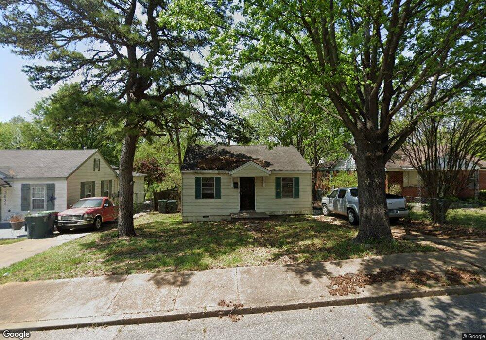
2049 Farrington St Memphis, TN 38109
South Memphis NeighborhoodEstimated Value: $38,000 - $57,000
2
Beds
1
Bath
648
Sq Ft
$70/Sq Ft
Est. Value
About This Home
This home is located at 2049 Farrington St, Memphis, TN 38109 and is currently estimated at $45,602, approximately $70 per square foot. 2049 Farrington St is a home located in Shelby County with nearby schools including Riverview Middle School, Hamilton High School, and Vision Preparatory Charter School.
Ownership History
Date
Name
Owned For
Owner Type
Purchase Details
Closed on
Jan 24, 2000
Sold by
Anderson Carl
Bought by
Brown James P
Current Estimated Value
Home Financials for this Owner
Home Financials are based on the most recent Mortgage that was taken out on this home.
Original Mortgage
$36,375
Outstanding Balance
$11,948
Interest Rate
8.29%
Estimated Equity
$33,654
Purchase Details
Closed on
Jun 18, 1999
Sold by
Lucenda Smith and Lucenda Owens M
Bought by
Anderson Carl
Create a Home Valuation Report for This Property
The Home Valuation Report is an in-depth analysis detailing your home's value as well as a comparison with similar homes in the area
Home Values in the Area
Average Home Value in this Area
Purchase History
| Date | Buyer | Sale Price | Title Company |
|---|---|---|---|
| Brown James P | $37,500 | -- | |
| Anderson Carl | $12,000 | -- |
Source: Public Records
Mortgage History
| Date | Status | Borrower | Loan Amount |
|---|---|---|---|
| Open | Brown James P | $36,375 | |
| Closed | Brown James P | $3,500 |
Source: Public Records
Tax History Compared to Growth
Tax History
| Year | Tax Paid | Tax Assessment Tax Assessment Total Assessment is a certain percentage of the fair market value that is determined by local assessors to be the total taxable value of land and additions on the property. | Land | Improvement |
|---|---|---|---|---|
| 2025 | $199 | $9,025 | $1,250 | $7,775 |
| 2024 | $199 | $5,875 | $875 | $5,000 |
| 2023 | $358 | $5,875 | $875 | $5,000 |
| 2022 | $358 | $5,875 | $875 | $5,000 |
| 2021 | $362 | $5,875 | $875 | $5,000 |
| 2020 | $351 | $4,850 | $875 | $3,975 |
| 2019 | $351 | $4,850 | $875 | $3,975 |
| 2018 | $351 | $4,850 | $875 | $3,975 |
| 2017 | $199 | $4,850 | $875 | $3,975 |
| 2016 | $222 | $5,075 | $0 | $0 |
| 2014 | $222 | $5,075 | $0 | $0 |
Source: Public Records
Map
Nearby Homes
- 2059 Rile St
- 2076 Farrington St
- 2095 Rile St
- 335 Outer Pkwy
- 380 Outer Pkwy
- 2100 Riverside Blvd
- 324 Outer Pkwy
- 2119 Farrington St
- 2084 Benford St
- 2099 Rile St
- 247 W Frank Ave
- 250 1st Ave
- 1872 Rile St
- 1852 Swift St
- 20 W Davant Ave
- 372 Hollowell Ave
- 284 Modder Ave
- 274 W Mckellar Ave
- 260 W Mckellar Ave
- 123 W Frank Ave
- 2055 Farrington St
- 2045 Farrington St
- 2059 Farrington St
- 2039 Farrington St
- 2056 Rile St
- 2046 Rile St
- 2040 Rile St
- 2060 Rile St
- 2065 Farrington St
- 2035 Farrington St
- 2046 Farrington St
- 2060 Farrington St
- 2040 Farrington St
- 2036 Rile St
- 2066 Rile St
- 2069 Farrington St
- 2031 Farrington St
- 2066 Farrington St
- 2036 Farrington St
- 2032 Rile St