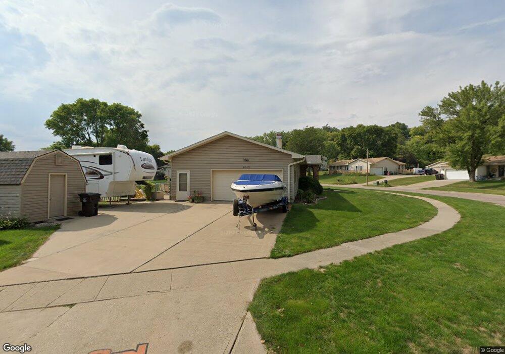
2049 Roundtable Rd Sergeant Bluff, IA 51054
Estimated Value: $300,000 - $363,000
3
Beds
3
Baths
2,712
Sq Ft
$122/Sq Ft
Est. Value
About This Home
This home is located at 2049 Roundtable Rd, Sergeant Bluff, IA 51054 and is currently estimated at $331,140, approximately $122 per square foot. 2049 Roundtable Rd is a home located in Woodbury County with nearby schools including Sergeant Bluff-Luton Primary School, Sergeant Bluff-Luton Elementary School, and Sergeant Bluff-Luton Middle School.
Ownership History
Date
Name
Owned For
Owner Type
Purchase Details
Closed on
Jul 15, 2014
Sold by
Wissink Roger A and Wissink Linda M
Bought by
Thibodeau Gary Wayne and Thibodeau Tami T
Current Estimated Value
Home Financials for this Owner
Home Financials are based on the most recent Mortgage that was taken out on this home.
Original Mortgage
$70,761
Outstanding Balance
$53,818
Interest Rate
4.12%
Mortgage Type
New Conventional
Estimated Equity
$277,322
Purchase Details
Closed on
Nov 10, 2009
Sold by
Levich Michael A and Levich Michael E
Bought by
Wissink Roger A and Wissink Linda M
Home Financials for this Owner
Home Financials are based on the most recent Mortgage that was taken out on this home.
Original Mortgage
$131,000
Interest Rate
4.95%
Mortgage Type
New Conventional
Create a Home Valuation Report for This Property
The Home Valuation Report is an in-depth analysis detailing your home's value as well as a comparison with similar homes in the area
Home Values in the Area
Average Home Value in this Area
Purchase History
| Date | Buyer | Sale Price | Title Company |
|---|---|---|---|
| Thibodeau Gary Wayne | $196,000 | None Available | |
| Wissink Roger A | $171,000 | -- |
Source: Public Records
Mortgage History
| Date | Status | Borrower | Loan Amount |
|---|---|---|---|
| Open | Thibodeau Gary Wayne | $70,761 | |
| Previous Owner | Wissink Roger A | $131,000 |
Source: Public Records
Tax History
| Year | Tax Paid | Tax Assessment Tax Assessment Total Assessment is a certain percentage of the fair market value that is determined by local assessors to be the total taxable value of land and additions on the property. | Land | Improvement |
|---|---|---|---|---|
| 2025 | $4,472 | $320,680 | $31,700 | $288,980 |
| 2024 | $43 | $300,130 | $27,430 | $272,700 |
| 2023 | $3,874 | $300,130 | $27,430 | $272,700 |
| 2022 | $3,840 | $229,310 | $27,430 | $201,880 |
| 2021 | $3,840 | $229,310 | $27,430 | $201,880 |
| 2020 | $3,636 | $213,530 | $29,350 | $184,180 |
| 2019 | $3,542 | $213,530 | $29,350 | $184,180 |
| 2018 | $3,454 | $205,160 | $29,350 | $175,810 |
| 2017 | $3,746 | $205,160 | $29,350 | $175,810 |
| 2016 | $3,816 | $205,160 | $0 | $0 |
| 2015 | $3,387 | $191,740 | $27,430 | $164,310 |
| 2014 | -- | $169,510 | $27,430 | $142,080 |
Source: Public Records
Map
Nearby Homes
- 2715 Ivanhoe Dr
- 2051 Roundtable Rd
- 2052 Roundtable Rd
- 2050 Roundtable Rd
- 2048 Roundtable Rd
- 2046 Roundtable Rd
- 2054 Roundtable Rd
- 2713 Ivanhoe Dr
- 2044 Roundtable Rd
- 2053 Roundtable Rd
- 2056 Kings Ct
- 2716 Ivanhoe Dr
- 2711 Ivanhoe Dr
- 2042 Roundtable Rd
- 2714 Ivanhoe Dr
- 2058 Kings Ct
- Old Hwy 141
- 2055 Roundtable Rd
- 2709 Ivanhoe Dr
- 2040 Roundtable Rd
Your Personal Tour Guide
Ask me questions while you tour the home.