20497 SE 119th St Newalla, OK 74857
Estimated Value: $237,000 - $305,000
3
Beds
2
Baths
1,925
Sq Ft
$140/Sq Ft
Est. Value
About This Home
This home is located at 20497 SE 119th St, Newalla, OK 74857 and is currently estimated at $270,251, approximately $140 per square foot. 20497 SE 119th St is a home with nearby schools including McLoud Elementary School, McLoud Intermediate School, and McLoud Junior High School.
Ownership History
Date
Name
Owned For
Owner Type
Purchase Details
Closed on
Mar 8, 2019
Sold by
Land With Vision Llc
Bought by
Moore Edward T and Moore Courtney L
Current Estimated Value
Home Financials for this Owner
Home Financials are based on the most recent Mortgage that was taken out on this home.
Original Mortgage
$156,750
Outstanding Balance
$137,810
Interest Rate
4.4%
Mortgage Type
New Conventional
Estimated Equity
$132,441
Purchase Details
Closed on
May 31, 2017
Sold by
Kerr Susan Janel Bullard and Dowell Misty Mictele
Bought by
Land With Vision Llc
Create a Home Valuation Report for This Property
The Home Valuation Report is an in-depth analysis detailing your home's value as well as a comparison with similar homes in the area
Home Values in the Area
Average Home Value in this Area
Purchase History
| Date | Buyer | Sale Price | Title Company |
|---|---|---|---|
| Moore Edward T | $165,000 | First American Title Ins Co | |
| Land With Vision Llc | $489,500 | None Available |
Source: Public Records
Mortgage History
| Date | Status | Borrower | Loan Amount |
|---|---|---|---|
| Open | Moore Edward T | $156,750 |
Source: Public Records
Tax History Compared to Growth
Tax History
| Year | Tax Paid | Tax Assessment Tax Assessment Total Assessment is a certain percentage of the fair market value that is determined by local assessors to be the total taxable value of land and additions on the property. | Land | Improvement |
|---|---|---|---|---|
| 2024 | $1,829 | $19,880 | $7,226 | $12,654 |
| 2023 | $1,726 | $18,934 | $7,481 | $11,453 |
| 2022 | $1,667 | $18,032 | $7,132 | $10,900 |
| 2021 | $2,063 | $17,174 | $5,894 | $11,280 |
| 2020 | $1,616 | $17,464 | $5,894 | $11,570 |
| 2019 | $1,224 | $12,832 | $708 | $12,124 |
| 2018 | $1,299 | $12,833 | $0 | $0 |
Source: Public Records
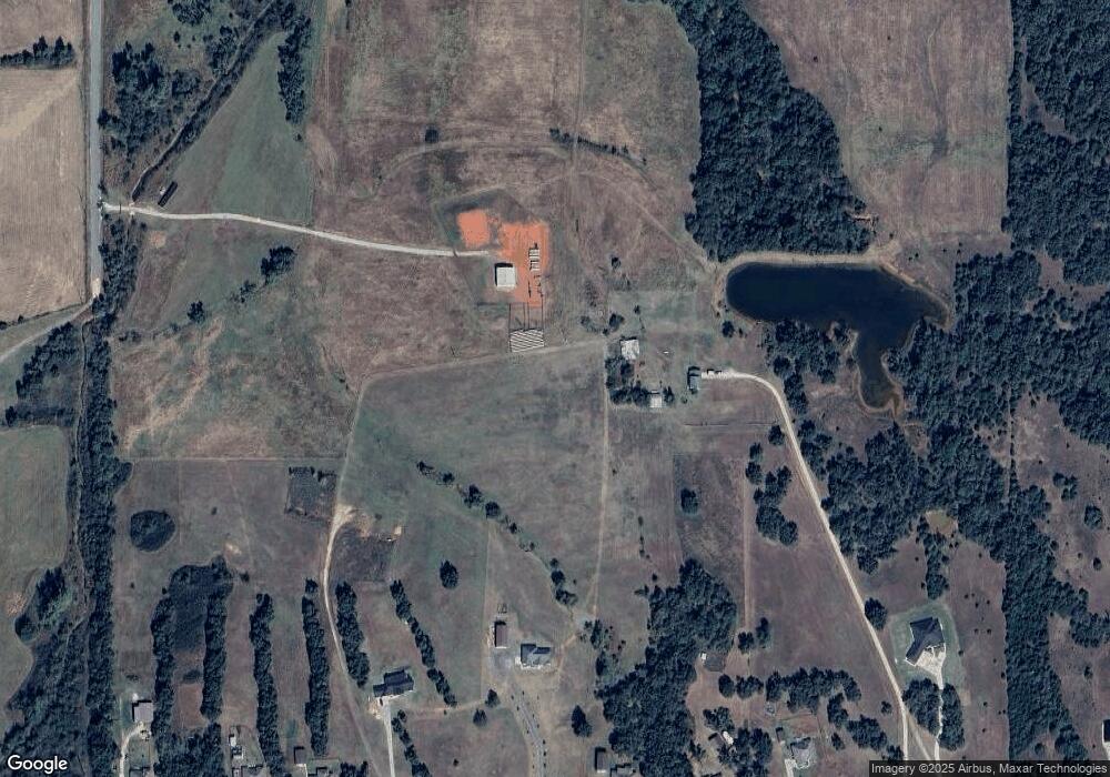
Map
Nearby Homes
- 29049 Oilfield Trash Dr
- 12201 Tamewood Dr
- 3307 S Dobbs Rd
- 3305 S Dobbs Rd
- 2501 SE 119th St
- 12901 S Dobbs Rd
- 21301 SE 103rd St
- 21236 SE 129th St
- 0 SE 97th Place
- 9209 Hazy Brook Dr
- 19536 S Dobbs Rd
- 19201 SE 134th St
- 20401 Misty Glen Dr
- 0 Hickory Hollow Ln
- 9117 S Dobbs Rd
- 9000 Sleepy Hollow Dr
- 9025 Hollow Rd
- 21208 Asim Cir
- 9000 Hollow Rd
- 0 E 1140 Rd Unit 1176402
- 20497 SE 119th St
- 20125 SE 119th St
- 20501 SE 119th
- 20101 SE 119th St
- 20301 SE 119th St
- 20041 SE 119th St
- 20025 SE 119th St
- 0 SE 119th and S Harrah Rd - 17 Unit 1085984
- 0 SE 119th and S Harrah Rd - 17 Unit 1053914
- 0 SE 119th and S Harrah Rd - 17 Unit 1041833
- 20201 SE 119th St
- 20225 SE 119th St
- 20001 SE 119th St
- 20498 SE 119th St
- 20601 SE 119th St
- 20300 SE 119th St
- 12101 Tamewood Dr
- 20501 SE 119th St
- 20036 SE 119th St
- 29040 Oilfield Trash Dr