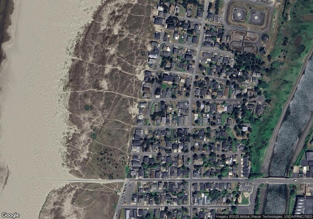
205 15th Ave Seaside, OR 97138
Estimated Value: $662,000 - $735,000
3
Beds
2
Baths
1,122
Sq Ft
$613/Sq Ft
Est. Value
About This Home
This home is located at 205 15th Ave, Seaside, OR 97138 and is currently estimated at $687,757, approximately $612 per square foot. 205 15th Ave is a home located in Clatsop County with nearby schools including Seaside High School.
Ownership History
Date
Name
Owned For
Owner Type
Purchase Details
Closed on
May 18, 2022
Sold by
Williams Rosalie C
Bought by
Williams Michel A and Williams Jason D
Current Estimated Value
Purchase Details
Closed on
Aug 16, 2010
Sold by
Williams Rosalie C
Bought by
Fvw Properties Llc
Purchase Details
Closed on
Feb 18, 2010
Sold by
Williams Rosalie C
Bought by
Williams Rosalie C and Floyd V Williams Residuary Trust
Purchase Details
Closed on
Mar 17, 2008
Sold by
Williams Floyd V and Williams Rosalie C
Bought by
Williams Floyd and Williams Rosalie C
Create a Home Valuation Report for This Property
The Home Valuation Report is an in-depth analysis detailing your home's value as well as a comparison with similar homes in the area
Home Values in the Area
Average Home Value in this Area
Purchase History
Date | Buyer | Sale Price | Title Company |
---|---|---|---|
Williams Michel A | -- | Ross Kenneth B | |
Williams Rosalie C | -- | Ross Kenneth B | |
Fvw Properties Llc | -- | None Available | |
Williams Rosalie C | -- | None Available | |
Williams Floyd | -- | None Available |
Source: Public Records
Tax History Compared to Growth
Tax History
Year | Tax Paid | Tax Assessment Tax Assessment Total Assessment is a certain percentage of the fair market value that is determined by local assessors to be the total taxable value of land and additions on the property. | Land | Improvement |
---|---|---|---|---|
2024 | $4,728 | $329,147 | -- | -- |
2023 | $4,589 | $319,561 | $0 | $0 |
2022 | $4,464 | $310,254 | $0 | $0 |
2021 | $4,369 | $301,218 | $0 | $0 |
2020 | $4,267 | $292,445 | $0 | $0 |
2019 | $4,150 | $283,928 | $0 | $0 |
2018 | $3,986 | $275,659 | $0 | $0 |
2017 | $3,804 | $267,631 | $0 | $0 |
2016 | $3,346 | $259,837 | $102,538 | $157,299 |
2015 | $3,258 | $252,270 | $99,552 | $152,718 |
2014 | $3,249 | $244,923 | $0 | $0 |
2013 | -- | $237,790 | $0 | $0 |
Source: Public Records
Map
Nearby Homes
- 337 16th Ave
- 1209 N Prom
- 75 12th Ave
- 1807 N Prom
- 261 11th Ave
- 1022 N Prom Unit 201
- 1022 N Prom Unit 202
- 000 19th Ave
- 460 10th Ave
- 717 12th Ave
- 1000 N Holladay Dr Unit 101
- 1000 N Holladay Dr
- 1000 N Holladay Dr Unit 210
- 721 12th Ave
- 328 6th Ave
- 840 11th Ave
- 833 10th Ave
- 240 5th Ave
- 423 N Downing St
- 814 17th Ave