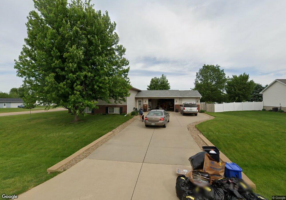
205 Brougham Rd Robins, IA 52328
Estimated Value: $312,000 - $354,325
3
Beds
3
Baths
1,347
Sq Ft
$248/Sq Ft
Est. Value
About This Home
This home is located at 205 Brougham Rd, Robins, IA 52328 and is currently estimated at $333,581, approximately $247 per square foot. 205 Brougham Rd is a home located in Linn County with nearby schools including Echo Hill Elementary School, Oak Ridge School, and Linn-Mar High School.
Ownership History
Date
Name
Owned For
Owner Type
Purchase Details
Closed on
Mar 31, 2000
Sold by
Cook Daniel P and Cook Denise A
Bought by
Knott Dennis A and Knott Suzanne D
Current Estimated Value
Home Financials for this Owner
Home Financials are based on the most recent Mortgage that was taken out on this home.
Original Mortgage
$132,800
Outstanding Balance
$52,437
Interest Rate
10.37%
Estimated Equity
$281,144
Create a Home Valuation Report for This Property
The Home Valuation Report is an in-depth analysis detailing your home's value as well as a comparison with similar homes in the area
Home Values in the Area
Average Home Value in this Area
Purchase History
| Date | Buyer | Sale Price | Title Company |
|---|---|---|---|
| Knott Dennis A | $165,500 | -- |
Source: Public Records
Mortgage History
| Date | Status | Borrower | Loan Amount |
|---|---|---|---|
| Open | Knott Dennis A | $132,800 |
Source: Public Records
Tax History
| Year | Tax Paid | Tax Assessment Tax Assessment Total Assessment is a certain percentage of the fair market value that is determined by local assessors to be the total taxable value of land and additions on the property. | Land | Improvement |
|---|---|---|---|---|
| 2025 | $4,288 | $367,600 | $57,600 | $310,000 |
| 2024 | $3,668 | $316,600 | $57,600 | $259,000 |
| 2023 | $3,668 | $289,000 | $57,600 | $231,400 |
| 2022 | $3,806 | $224,600 | $57,600 | $167,000 |
| 2021 | $3,828 | $224,600 | $57,600 | $167,000 |
| 2020 | $3,828 | $211,100 | $57,600 | $153,500 |
| 2019 | $3,852 | $212,800 | $57,600 | $155,200 |
Source: Public Records
Map
Nearby Homes
- 9124 Grand Oaks Dr NE
- 8932 Norway Dr NE
- 8926 Norway Dr NE
- 8908 Norway Dr NE
- 0 Maple St
- 165 Timber Ln
- 804 Palmyra Dr NE
- 70.78 Acres M L Quass Rd
- 8201 Council St NE
- 929 Messina Dr NE
- 1110 Capri Dr NE
- 906 Dorchester Place NE
- 1623 Petrus Dr NE
- 1319 Ashford Ct NE
- 7730 Burr Ridge Dr NE
- 207 Meadows Field Dr NE
- 219 Meadows Field Dr NE
- 222 Mccarran Ave NE
- 226 Mccarran Ave NE
- Lot 9 Kervin Ct
- 215 Brougham Rd
- 260 Landau St
- 155 Brougham Rd
- 255 Landau St
- 225 Brougham Rd
- 220 Landau St
- 280 Landau St
- 145 Brougham Rd
- 305 Phaeton Dr
- 275 Landau St
- 150 Brougham Rd
- 220 Brougham Rd
- 140 Brougham Rd
- 135 Brougham Rd
- 285 Landau St
- 230 Brougham Rd
- 315 Phaeton Dr
- 310 Landau St
- 305 Brougham Rd
- 200 Landau St
Your Personal Tour Guide
Ask me questions while you tour the home.