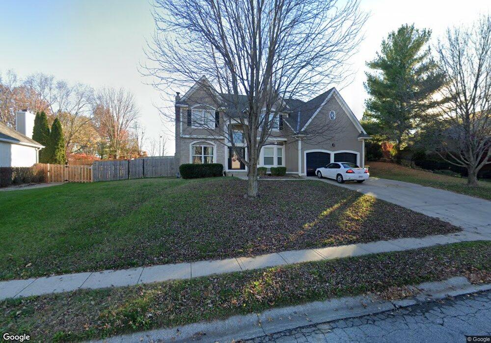
205 Canyon View Dr Lansing, KS 66043
Estimated Value: $406,000 - $477,000
4
Beds
3
Baths
2,868
Sq Ft
$150/Sq Ft
Est. Value
About This Home
This home is located at 205 Canyon View Dr, Lansing, KS 66043 and is currently estimated at $430,945, approximately $150 per square foot. 205 Canyon View Dr is a home located in Leavenworth County with nearby schools including Lansing Elementary School, Lansing Middle 6-8, and Lansing High 9-12.
Ownership History
Date
Name
Owned For
Owner Type
Purchase Details
Closed on
Oct 1, 1994
Bought by
Norwood Carl C
Current Estimated Value
Home Financials for this Owner
Home Financials are based on the most recent Mortgage that was taken out on this home.
Original Mortgage
$181,000
Outstanding Balance
$143,886
Interest Rate
8.82%
Mortgage Type
New Conventional
Estimated Equity
$287,059
Create a Home Valuation Report for This Property
The Home Valuation Report is an in-depth analysis detailing your home's value as well as a comparison with similar homes in the area
Home Values in the Area
Average Home Value in this Area
Purchase History
| Date | Buyer | Sale Price | Title Company |
|---|---|---|---|
| Norwood Carl C | $164,944 | -- |
Source: Public Records
Mortgage History
| Date | Status | Borrower | Loan Amount |
|---|---|---|---|
| Open | Norwood Carl C | $181,000 | |
| Closed | Norwood Carl C | $185,900 |
Source: Public Records
Tax History Compared to Growth
Tax History
| Year | Tax Paid | Tax Assessment Tax Assessment Total Assessment is a certain percentage of the fair market value that is determined by local assessors to be the total taxable value of land and additions on the property. | Land | Improvement |
|---|---|---|---|---|
| 2025 | $5,959 | $45,824 | $6,396 | $39,428 |
| 2024 | $5,519 | $44,061 | $6,396 | $37,665 |
| 2023 | $5,519 | $42,366 | $6,396 | $35,970 |
| 2022 | $5,463 | $39,629 | $5,482 | $34,147 |
| 2021 | $5,379 | $37,283 | $5,482 | $31,801 |
| 2020 | $4,942 | $33,729 | $5,482 | $28,247 |
| 2019 | $4,771 | $32,527 | $5,482 | $27,045 |
| 2018 | $4,478 | $30,559 | $5,482 | $25,077 |
| 2017 | $4,488 | $30,559 | $5,482 | $25,077 |
| 2016 | $4,490 | $30,559 | $5,482 | $25,077 |
| 2015 | $4,477 | $30,559 | $5,482 | $25,077 |
| 2014 | $4,385 | $30,559 | $5,482 | $25,077 |
Source: Public Records
Map
Nearby Homes
- 875 Clearview Dr
- 866 Clearview Dr
- 833 Rock Creek Dr
- 1322 Rock Creek Ct
- 1221 S Desoto Rd
- 922 Southfork St
- 811 4-H Rd
- 24431 139th St
- 13965 Mc Intyre Rd
- 000 4-H Rd
- 13788 McIntyre1 Rd
- 13788 Mcintyre Rd
- 13788 McIntyre2 Rd
- 527 S Valley Dr
- 401 W Olive St
- 104 Olive St
- 522 Forestglen Ln
- 202 S Main St
- 546 Hithergreen Dr
- 124 S Main St
- 203 Canyon View Dr
- 1401 Rock Creek Dr
- 1405 Rock Creek Dr
- 1409 Rock Creek Dr
- 201 Canyon View Dr
- 202 Canyon View Dr
- 600 Canyon View Dr
- 202 Southfork Rd
- 1413 Rock Creek Dr
- 200 Canyon View Dr
- 204 Southfork Rd
- 604 Canyon View Dr
- 1402 Rock Creek Dr
- 1406 Rock Creek Dr
- 1417 Rock Creek Dr
- 206 Southfork Rd
- 1410 Rock Creek Dr
- 606 Canyon View Dr
- 1421 Rock Creek Dr
- 203 Southfork Rd