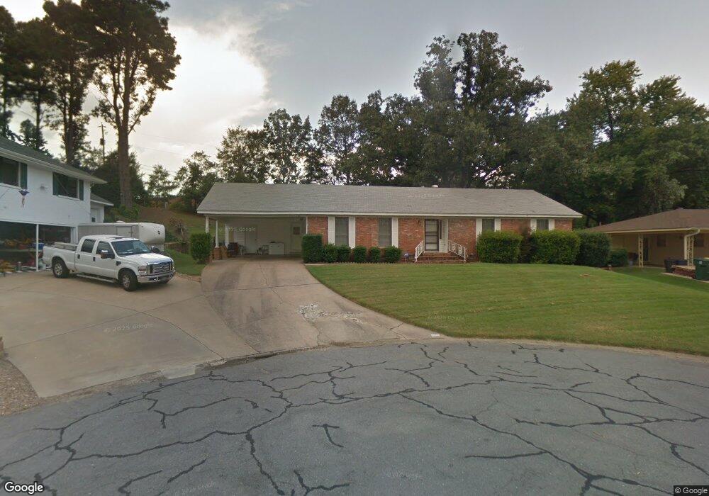
205 Cherokee Cir Little Rock, AR 72205
Briarwood NeighborhoodEstimated Value: $205,223 - $218,000
--
Bed
2
Baths
2,073
Sq Ft
$102/Sq Ft
Est. Value
About This Home
This home is located at 205 Cherokee Cir, Little Rock, AR 72205 and is currently estimated at $210,806, approximately $101 per square foot. 205 Cherokee Cir is a home located in Pulaski County with nearby schools including Brady Elementary School, Henderson Middle School, and Central High School.
Ownership History
Date
Name
Owned For
Owner Type
Purchase Details
Closed on
Jul 18, 2005
Sold by
Rainwater James W and Rainwater Sarah R
Bought by
Brooks Jack W and Brooks Katherine M
Current Estimated Value
Home Financials for this Owner
Home Financials are based on the most recent Mortgage that was taken out on this home.
Original Mortgage
$108,000
Outstanding Balance
$56,086
Interest Rate
5.58%
Mortgage Type
Fannie Mae Freddie Mac
Estimated Equity
$154,720
Create a Home Valuation Report for This Property
The Home Valuation Report is an in-depth analysis detailing your home's value as well as a comparison with similar homes in the area
Home Values in the Area
Average Home Value in this Area
Purchase History
| Date | Buyer | Sale Price | Title Company |
|---|---|---|---|
| Brooks Jack W | $120,000 | -- |
Source: Public Records
Mortgage History
| Date | Status | Borrower | Loan Amount |
|---|---|---|---|
| Open | Brooks Jack W | $108,000 |
Source: Public Records
Tax History Compared to Growth
Tax History
| Year | Tax Paid | Tax Assessment Tax Assessment Total Assessment is a certain percentage of the fair market value that is determined by local assessors to be the total taxable value of land and additions on the property. | Land | Improvement |
|---|---|---|---|---|
| 2024 | $2,050 | $34,744 | $7,600 | $27,144 |
| 2023 | $2,050 | $34,744 | $7,600 | $27,144 |
| 2022 | $1,957 | $34,744 | $7,600 | $27,144 |
| 2021 | $1,877 | $26,630 | $4,800 | $21,830 |
| 2020 | $1,489 | $26,630 | $4,800 | $21,830 |
| 2019 | $1,489 | $26,630 | $4,800 | $21,830 |
| 2018 | $1,514 | $26,630 | $4,800 | $21,830 |
| 2017 | $1,514 | $26,630 | $4,800 | $21,830 |
| 2016 | $1,964 | $33,050 | $5,000 | $28,050 |
| 2015 | $2,317 | $33,050 | $5,000 | $28,050 |
| 2014 | $2,317 | $31,779 | $5,000 | $26,779 |
Source: Public Records
Map
Nearby Homes
- 409 Sunnymeade Dr
- 7800 Choctaw Rd
- 7616 Briarwood Cir
- 618 S Mississippi St
- 705 Legato Dr
- 22 Nob Hill Cove
- 7 Brookfield Cove
- 3 Edgestone Dr
- 22 Nob View Cir
- 9 Brookfield Cove
- 3 Lorine Cir
- 7410 Ouachita Dr
- 1 Sun Valley Rd
- 7111 W Markham St
- 8806 Mayflower Rd
- 15 Tomahawk Rd
- 4 Tomahawk Rd
- 7011 W Markham St
- 8815 Cloverhill Rd
- 7020 Amherst Dr
- 209 Cherokee Cir
- 201 Cherokee Cir
- 215 Cherokee Cir
- 200 Cherokee Cir
- 204 Cherokee Cir
- 208 Cherokee Cir
- 219 Cherokee Cir
- 223 Cherokee Cir
- 301 S Rodney Parham Rd
- 300 Cherokee Cir
- 0 Cherokee Cir
- 7915 W Markham St
- 305 S Rodney Parham Rd
- 200 Hiawatha Dr
- 304 Cherokee Cir
- 204 Hiawatha Dr
- 301 Cherokee Cir
- 208 Hiawatha Dr
- 212 Hiawatha Dr
- 112 Hiawatha Dr