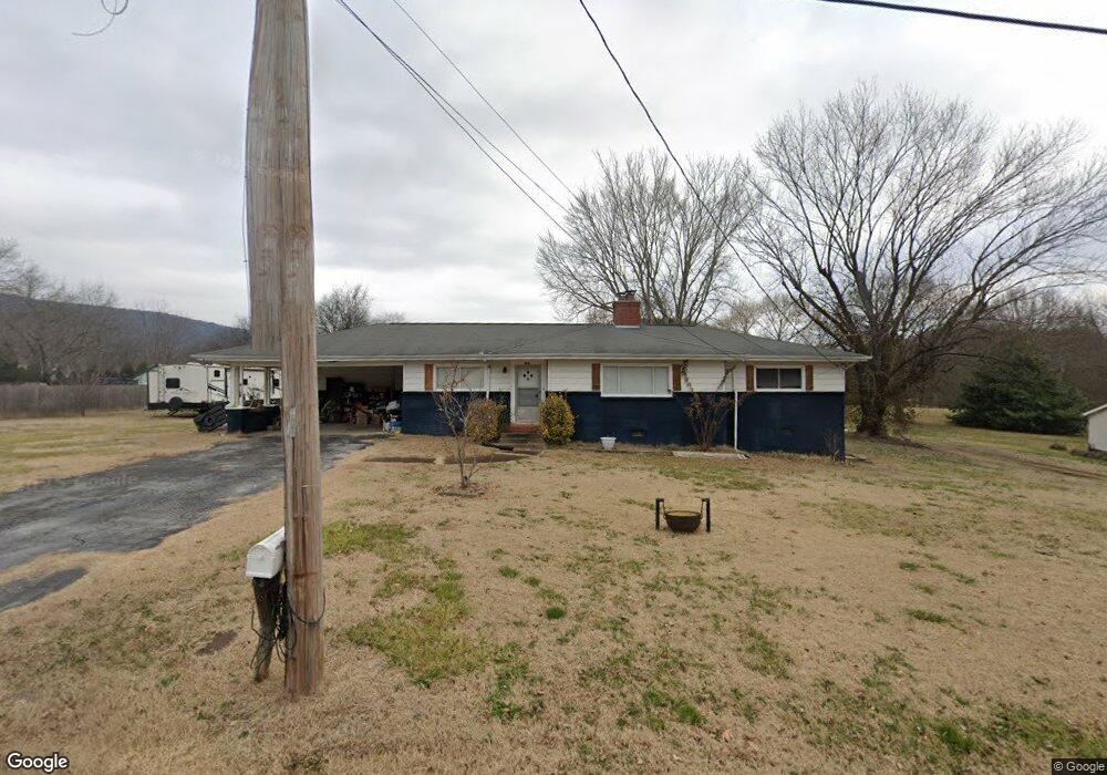
205 Daisy Ave Soddy Daisy, TN 37379
Estimated Value: $272,000 - $306,000
--
Bed
1
Bath
1,524
Sq Ft
$194/Sq Ft
Est. Value
About This Home
This home is located at 205 Daisy Ave, Soddy Daisy, TN 37379 and is currently estimated at $295,251, approximately $193 per square foot. 205 Daisy Ave is a home located in Hamilton County with nearby schools including Ivy Academy Inc and New South Daisy Christian Academy.
Ownership History
Date
Name
Owned For
Owner Type
Purchase Details
Closed on
Jan 23, 2018
Sold by
Williams Cara
Bought by
Williams Cara and The Carar Williams Living Trust
Current Estimated Value
Purchase Details
Closed on
Nov 28, 2017
Sold by
Williams Sharon Kay
Bought by
Williams Cara Nicole
Purchase Details
Closed on
May 26, 2017
Sold by
Williams Charles R and Williams Geneva M
Bought by
Williams Crista Lynn
Purchase Details
Closed on
Sep 28, 2005
Sold by
Williams Geneva M
Bought by
Williams Charles R and Williams Terry
Purchase Details
Closed on
Jul 7, 1995
Bought by
Etal Williams Don C Jr
Create a Home Valuation Report for This Property
The Home Valuation Report is an in-depth analysis detailing your home's value as well as a comparison with similar homes in the area
Home Values in the Area
Average Home Value in this Area
Purchase History
| Date | Buyer | Sale Price | Title Company |
|---|---|---|---|
| Williams Cara | -- | None Available | |
| Williams Cara Nicole | $24,000 | None Available | |
| Williams Crista Lynn | -- | None Available | |
| Williams Charles R | -- | National Title Insurance Age | |
| Etal Williams Don C Jr | -- | -- |
Source: Public Records
Tax History Compared to Growth
Tax History
| Year | Tax Paid | Tax Assessment Tax Assessment Total Assessment is a certain percentage of the fair market value that is determined by local assessors to be the total taxable value of land and additions on the property. | Land | Improvement |
|---|---|---|---|---|
| 2024 | $997 | $44,550 | $0 | $0 |
| 2023 | $1,503 | $44,550 | $0 | $0 |
| 2022 | $1,503 | $44,550 | $0 | $0 |
| 2021 | $1,503 | $44,550 | $0 | $0 |
| 2020 | $1,308 | $31,550 | $0 | $0 |
| 2019 | $1,308 | $31,550 | $0 | $0 |
| 2018 | $1,308 | $31,550 | $0 | $0 |
| 2017 | $1,308 | $31,550 | $0 | $0 |
| 2016 | $1,296 | $0 | $0 | $0 |
| 2015 | $1,296 | $31,250 | $0 | $0 |
| 2014 | $1,296 | $0 | $0 | $0 |
Source: Public Records
Map
Nearby Homes
- 10206 Card Rd
- 10280 Card Rd
- 110 Mountain View Dr
- 110 Mountainview Dr
- 9839 Walnut St
- 168 Turner Rd
- 874 Ponderosa Dr
- 9851 Millsaps St
- 10192 Big Pine Ln
- 698 Green Pond Rd
- 9885 Lovell Rd
- 0 Lovell Rd Unit 1523036
- 201 Northern Trails Dr
- 203 Northern Trails Dr
- 623 Sunset Valley Dr
- 9811 Lovell Rd
- 9693 W Ridge Trail Rd
- 13212 Dayton Pike
- 9606 Shooting Star Cir
- 9709 Lovell Rd