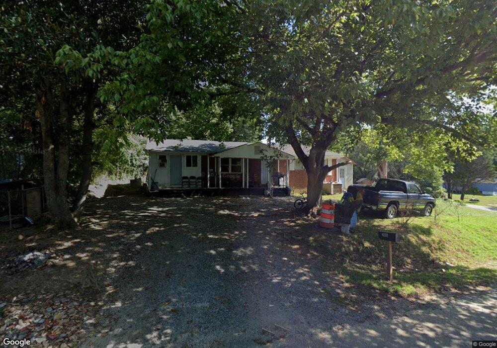
205 Elizabeth Ave Lincolnton, NC 28092
Estimated Value: $120,000 - $198,000
2
Beds
1
Bath
888
Sq Ft
$177/Sq Ft
Est. Value
About This Home
This home is located at 205 Elizabeth Ave, Lincolnton, NC 28092 and is currently estimated at $157,333, approximately $177 per square foot. 205 Elizabeth Ave is a home located in Lincoln County with nearby schools including Battleground Elementary School, Lincolnton Middle School, and Lincolnton High School.
Ownership History
Date
Name
Owned For
Owner Type
Purchase Details
Closed on
Sep 3, 2009
Sold by
Mull Pamela and Mull Terry Reid
Bought by
Aum Shree Ganeshji Inc
Current Estimated Value
Home Financials for this Owner
Home Financials are based on the most recent Mortgage that was taken out on this home.
Original Mortgage
$34,500
Outstanding Balance
$22,505
Interest Rate
5.14%
Mortgage Type
Future Advance Clause Open End Mortgage
Estimated Equity
$134,828
Create a Home Valuation Report for This Property
The Home Valuation Report is an in-depth analysis detailing your home's value as well as a comparison with similar homes in the area
Home Values in the Area
Average Home Value in this Area
Purchase History
| Date | Buyer | Sale Price | Title Company |
|---|---|---|---|
| Aum Shree Ganeshji Inc | $41,000 | None Available |
Source: Public Records
Mortgage History
| Date | Status | Borrower | Loan Amount |
|---|---|---|---|
| Open | Aum Shree Ganeshji Inc | $34,500 |
Source: Public Records
Tax History Compared to Growth
Tax History
| Year | Tax Paid | Tax Assessment Tax Assessment Total Assessment is a certain percentage of the fair market value that is determined by local assessors to be the total taxable value of land and additions on the property. | Land | Improvement |
|---|---|---|---|---|
| 2025 | $1,243 | $110,443 | $21,000 | $89,443 |
| 2024 | $1,223 | $110,443 | $21,000 | $89,443 |
| 2023 | $1,218 | $110,443 | $21,000 | $89,443 |
| 2022 | $665 | $46,662 | $16,500 | $30,162 |
| 2021 | $665 | $46,662 | $16,500 | $30,162 |
| 2020 | $541 | $46,662 | $16,500 | $30,162 |
| 2019 | $541 | $46,662 | $16,500 | $30,162 |
| 2018 | $689 | $50,214 | $16,000 | $34,214 |
| 2017 | $588 | $50,214 | $16,000 | $34,214 |
| 2016 | $588 | $50,214 | $16,000 | $34,214 |
| 2015 | $662 | $50,214 | $16,000 | $34,214 |
| 2014 | $795 | $61,489 | $17,500 | $43,989 |
Source: Public Records
Map
Nearby Homes
- 00 Shell St
- 00 Eastview Dr
- 141 Mallory Tai Dr
- 0 Wilma Sigmon Rd Unit A CAR4306088
- 2350, 1912 N Aspen St
- 1235 Wilma Sigmon Rd
- 00 Walker Branch Rd
- Lot 51 Hares Way
- Lot 49 Hares Way
- Lot 50 Hares Way
- 1156 Walker Branch Rd
- 4578 Harris Elliot Rd
- 4548 Harris Elliot Rd
- 4586 Harris Elliot Rd
- 4583 Harris Elliot Rd
- 4594 Harris Elliot Rd
- 4603 Harris Elliot Rd
- 4595 Harris Elliot Rd
- 4590 Harris Elliot Rd
- 905 Hallman Branch Ln
- 105 Carpenter St
- 102 Keever St
- 206 Elizabeth Ave
- 102 Carpenter St
- 104 Keever St
- 208 Elizabeth Ave
- 100 Keever St
- 104 Carpenter St
- 300 Elizabeth Ave
- 303 Elizabeth Ave
- 109 Carpenter St
- 108 Keever St
- 0 Carpenter St Unit 112-115
- 103 Keever St
- 108 Carpenter St Unit 108
- 108 Carpenter St Unit 110
- 108 Carpenter St
- 110 Carpenter St
- 110 Keever St
- 107 Keever St