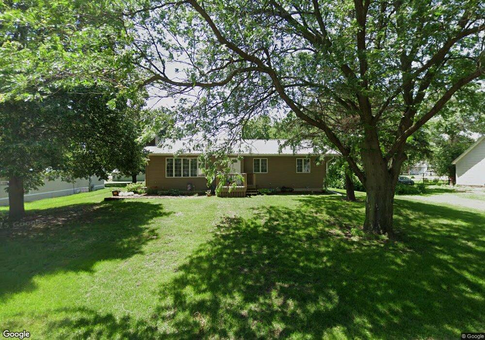
205 Elm St Thornton, IA 50479
Estimated Value: $137,000 - $160,000
2
Beds
2
Baths
1,200
Sq Ft
$123/Sq Ft
Est. Value
About This Home
This home is located at 205 Elm St, Thornton, IA 50479 and is currently estimated at $148,027, approximately $123 per square foot. 205 Elm St is a home located in Cerro Gordo County with nearby schools including West Fork High School.
Ownership History
Date
Name
Owned For
Owner Type
Purchase Details
Closed on
Apr 15, 2015
Sold by
Nelson Carolyn E
Bought by
Halsne Richard L
Current Estimated Value
Home Financials for this Owner
Home Financials are based on the most recent Mortgage that was taken out on this home.
Original Mortgage
$72,105
Outstanding Balance
$55,166
Interest Rate
3.73%
Mortgage Type
New Conventional
Estimated Equity
$92,861
Purchase Details
Closed on
Sep 20, 2012
Sold by
Bertelsen Roger Df and Bertelsen Donna R
Bought by
Nelson Carolyn E
Home Financials for this Owner
Home Financials are based on the most recent Mortgage that was taken out on this home.
Original Mortgage
$40,500
Interest Rate
3.66%
Mortgage Type
New Conventional
Create a Home Valuation Report for This Property
The Home Valuation Report is an in-depth analysis detailing your home's value as well as a comparison with similar homes in the area
Home Values in the Area
Average Home Value in this Area
Purchase History
| Date | Buyer | Sale Price | Title Company |
|---|---|---|---|
| Halsne Richard L | $76,000 | None Available | |
| Nelson Carolyn E | -- | None Available | |
| Nelson Carolyn E | $75,500 | None Available |
Source: Public Records
Mortgage History
| Date | Status | Borrower | Loan Amount |
|---|---|---|---|
| Open | Halsne Richard L | $72,105 | |
| Previous Owner | Nelson Carolyn E | $40,500 |
Source: Public Records
Tax History Compared to Growth
Tax History
| Year | Tax Paid | Tax Assessment Tax Assessment Total Assessment is a certain percentage of the fair market value that is determined by local assessors to be the total taxable value of land and additions on the property. | Land | Improvement |
|---|---|---|---|---|
| 2025 | $1,658 | $146,420 | $11,630 | $134,790 |
| 2024 | $1,658 | $119,960 | $11,630 | $108,330 |
| 2023 | $1,262 | $119,960 | $11,630 | $108,330 |
| 2022 | $1,138 | $84,030 | $9,300 | $74,730 |
| 2021 | $1,158 | $77,250 | $9,300 | $67,950 |
| 2020 | $1,307 | $75,430 | $9,300 | $66,130 |
| 2019 | $1,176 | $0 | $0 | $0 |
| 2018 | $1,082 | $0 | $0 | $0 |
| 2017 | $1,114 | $0 | $0 | $0 |
| 2016 | $1,242 | $0 | $0 | $0 |
| 2015 | $1,242 | $0 | $0 | $0 |
| 2014 | $1,170 | $0 | $0 | $0 |
| 2013 | $1,084 | $0 | $0 | $0 |
Source: Public Records
Map
Nearby Homes