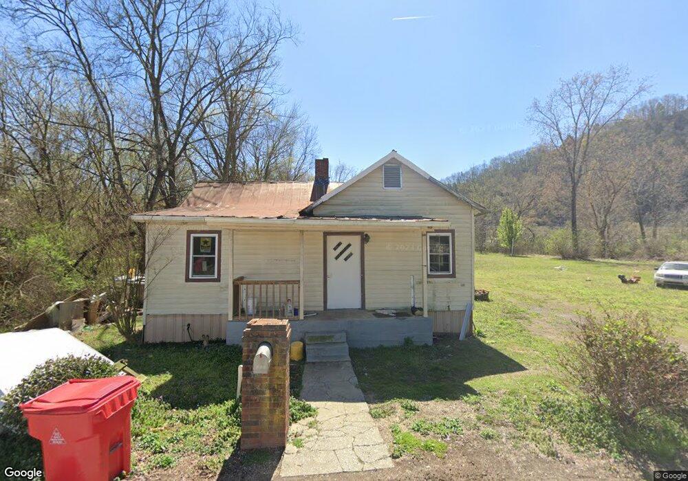
205 First Ave W Carthage, TN 37030
Estimated Value: $78,000 - $195,000
--
Bed
1
Bath
980
Sq Ft
$139/Sq Ft
Est. Value
About This Home
This home is located at 205 First Ave W, Carthage, TN 37030 and is currently estimated at $136,277, approximately $139 per square foot. 205 First Ave W is a home located in Smith County with nearby schools including Carthage Elementary School, Smith County Middle School, and Smith County High School.
Ownership History
Date
Name
Owned For
Owner Type
Purchase Details
Closed on
Feb 14, 2018
Sold by
Smith Delores
Bought by
Poindexter C D
Current Estimated Value
Purchase Details
Closed on
Jan 30, 2015
Sold by
Maxwell James R
Bought by
Smith Delores
Purchase Details
Closed on
Nov 8, 2011
Sold by
Carter Patsy Glen
Bought by
Maxwell James R and Maxwell Christine L
Purchase Details
Closed on
Jun 9, 1995
Sold by
Mechille Givens
Bought by
Carter Patsy G
Purchase Details
Closed on
Aug 23, 1993
Bought by
Givens Mechille
Purchase Details
Closed on
May 6, 1988
Bought by
Carter Patsy G
Purchase Details
Closed on
Apr 21, 1973
Bought by
Evans Robert L and Evans Vera S
Create a Home Valuation Report for This Property
The Home Valuation Report is an in-depth analysis detailing your home's value as well as a comparison with similar homes in the area
Home Values in the Area
Average Home Value in this Area
Purchase History
| Date | Buyer | Sale Price | Title Company |
|---|---|---|---|
| Poindexter C D | $7,500 | None Available | |
| Smith Delores | -- | -- | |
| Maxwell James R | $25,700 | -- | |
| Carter Patsy G | $25,000 | -- | |
| Givens Mechille | $25,000 | -- | |
| Carter Patsy G | $7,000 | -- | |
| Evans Robert L | -- | -- |
Source: Public Records
Tax History Compared to Growth
Tax History
| Year | Tax Paid | Tax Assessment Tax Assessment Total Assessment is a certain percentage of the fair market value that is determined by local assessors to be the total taxable value of land and additions on the property. | Land | Improvement |
|---|---|---|---|---|
| 2024 | $174 | $10,050 | $2,500 | $7,550 |
| 2023 | $172 | $9,950 | $0 | $0 |
| 2022 | $253 | $9,950 | $2,500 | $7,450 |
| 2021 | $236 | $6,550 | $1,875 | $4,675 |
| 2020 | $253 | $6,550 | $1,875 | $4,675 |
| 2019 | $253 | $6,550 | $1,875 | $4,675 |
| 2018 | $214 | $6,550 | $1,875 | $4,675 |
| 2017 | $214 | $6,550 | $1,875 | $4,675 |
| 2016 | $218 | $6,300 | $1,875 | $4,425 |
| 2015 | $219 | $6,300 | $1,875 | $4,425 |
| 2014 | $219 | $6,300 | $1,875 | $4,425 |
Source: Public Records
Map
Nearby Homes
- 0 High St N Unit RTC3000420
- 106 Lafon Dr
- 218 Ward Ave E
- 217 Fite Ave E
- 132 Hillwood Dr
- 0 Main St N
- 204 Fisher Ave
- 150 Valley Vista Dr
- 307 College Ave E
- 704 Main St N
- 117 Riverside Dr
- 0 Bowman St
- 139 Davis St S
- 407 College Ave E
- 228 Hillcrest Dr N
- 225 Jackson Ave
- 604 College Ave E
- 209 Colonial St
- 319 Hull Ave
- 407 Jefferson Ave E
- 101 McClarin Ct Unit 103
- 106 McClarin Ct Unit 108
- 102 McClarin Ct Unit 104
- 112 First Ave W
- 105 McClarin Ct Unit 107
- 202 Upper Ferry Rd
- 108 First Ave W
- 107 Main St N
- 101 Upper Ferry Rd
- 109 Upper Ferry Rd
- 111 Upper Ferry Rd
- 203 Upper Ferry Rd
- 200 Upper Ferry Rd
- 104 Main St N
- 111 Spring St
- 131 Spring St
- 216 Upper Ferry Rd
- 110 First Ave E
- 110 Main St N
- 112 Main St N