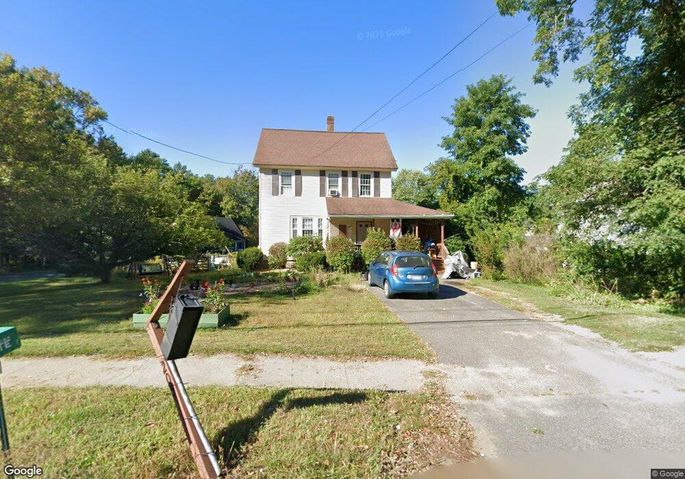
205 Florence Rd Florence, MA 01062
Florence NeighborhoodEstimated Value: $465,000 - $568,000
3
Beds
3
Baths
1,806
Sq Ft
$279/Sq Ft
Est. Value
About This Home
This home is located at 205 Florence Rd, Florence, MA 01062 and is currently estimated at $504,384, approximately $279 per square foot. 205 Florence Rd is a home located in Hampshire County with nearby schools including Northampton High School, Hilltown Cooperative Charter Public School, and The Montessori School of Northampton.
Ownership History
Date
Name
Owned For
Owner Type
Purchase Details
Closed on
Jul 21, 1989
Sold by
Kent Devt Corp
Bought by
Damon Jeffrey D
Current Estimated Value
Home Financials for this Owner
Home Financials are based on the most recent Mortgage that was taken out on this home.
Original Mortgage
$89,550
Interest Rate
10.07%
Mortgage Type
Purchase Money Mortgage
Create a Home Valuation Report for This Property
The Home Valuation Report is an in-depth analysis detailing your home's value as well as a comparison with similar homes in the area
Home Values in the Area
Average Home Value in this Area
Purchase History
| Date | Buyer | Sale Price | Title Company |
|---|---|---|---|
| Damon Jeffrey D | $97,000 | -- |
Source: Public Records
Mortgage History
| Date | Status | Borrower | Loan Amount |
|---|---|---|---|
| Open | Damon Jeffrey D | $100,000 | |
| Closed | Damon Jeffrey D | $98,500 | |
| Closed | Damon Jeffrey D | $94,900 | |
| Closed | Damon Jeffrey D | $89,550 |
Source: Public Records
Tax History Compared to Growth
Tax History
| Year | Tax Paid | Tax Assessment Tax Assessment Total Assessment is a certain percentage of the fair market value that is determined by local assessors to be the total taxable value of land and additions on the property. | Land | Improvement |
|---|---|---|---|---|
| 2025 | $5,175 | $371,500 | $116,200 | $255,300 |
| 2024 | $5,271 | $347,000 | $116,200 | $230,800 |
| 2023 | $4,741 | $299,300 | $105,600 | $193,700 |
| 2022 | $4,295 | $240,100 | $105,600 | $134,500 |
| 2021 | $3,936 | $226,600 | $100,700 | $125,900 |
| 2020 | $3,807 | $226,600 | $100,700 | $125,900 |
| 2019 | $3,781 | $217,700 | $100,700 | $117,000 |
| 2018 | $3,946 | $231,600 | $100,700 | $130,900 |
| 2017 | $3,865 | $231,600 | $100,700 | $130,900 |
| 2016 | $3,743 | $231,600 | $100,700 | $130,900 |
| 2015 | $3,528 | $223,300 | $99,700 | $123,600 |
| 2014 | $3,437 | $223,300 | $99,700 | $123,600 |
Source: Public Records
Map
Nearby Homes
- 37 Landy Ave
- 225 Nonotuck St Unit C
- 269 Ryan Rd
- 36 Landy Ave
- 325 Riverside Dr
- 321 Riverside Dr
- 138 Overlook Dr
- 11 Norwood Ave
- 815 Burts Pit Rd
- 67 Park St Unit A
- 67 Park St Unit B
- 67 Park St Unit D
- 100 Emerson Way
- 76 Maple St
- 8 Tara Cir
- 39 Matthew Dr
- 152 S Main St Unit 8
- 152 S Main St Unit 4
- 137 Emerson Way
- 84 N Main St
- 13 Indian Hill
- 19 Indian Hill
- 14 Indian Hill
- 8 Florence Heights
- 24 Indian Hill
- 226 Florence Rd
- 30 Indian Hill
- 31 Indian Hill
- 179 Florence Rd
- 235 Florence Rd
- 37 Indian Hill
- 234 Florence Rd
- 171 Florence Rd
- 27 Brookwood Dr
- 36 Indian Hill
- 35 Brookwood Dr
- 5 Brookwood Dr
- 41 Indian Hill
- 242 Florence Rd
- 42 Indian Hill