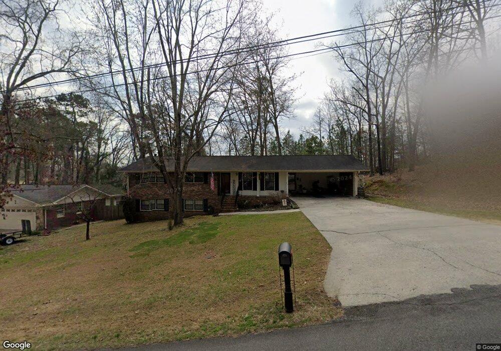
205 Forrest Park Rd Dalton, GA 30721
Estimated Value: $264,018 - $343,000
6
Beds
3
Baths
2,700
Sq Ft
$110/Sq Ft
Est. Value
About This Home
This home is located at 205 Forrest Park Rd, Dalton, GA 30721 and is currently estimated at $297,755, approximately $110 per square foot. 205 Forrest Park Rd is a home located in Whitfield County with nearby schools including Pleasant Grove Elementary School, New Hope Middle School, and Northwest Whitfield County High School.
Ownership History
Date
Name
Owned For
Owner Type
Purchase Details
Closed on
Jul 13, 2006
Sold by
Not Provided
Bought by
Nelson Ricky L and Martha Denise
Current Estimated Value
Purchase Details
Closed on
Jul 6, 2006
Sold by
Wilson Lynda Lee
Bought by
Nelson Ricky L
Create a Home Valuation Report for This Property
The Home Valuation Report is an in-depth analysis detailing your home's value as well as a comparison with similar homes in the area
Home Values in the Area
Average Home Value in this Area
Purchase History
| Date | Buyer | Sale Price | Title Company |
|---|---|---|---|
| Nelson Ricky L | -- | -- | |
| Nelson Ricky L | $159,900 | -- |
Source: Public Records
Tax History Compared to Growth
Tax History
| Year | Tax Paid | Tax Assessment Tax Assessment Total Assessment is a certain percentage of the fair market value that is determined by local assessors to be the total taxable value of land and additions on the property. | Land | Improvement |
|---|---|---|---|---|
| 2024 | $1,926 | $103,930 | $15,600 | $88,330 |
| 2023 | $1,926 | $71,168 | $10,600 | $60,568 |
| 2022 | $1,474 | $58,533 | $10,600 | $47,933 |
| 2021 | $1,475 | $58,533 | $10,600 | $47,933 |
| 2020 | $1,513 | $58,533 | $10,600 | $47,933 |
| 2019 | $1,532 | $58,533 | $10,600 | $47,933 |
| 2018 | $1,410 | $54,024 | $10,600 | $43,424 |
| 2017 | $1,410 | $54,024 | $10,600 | $43,424 |
| 2016 | $1,185 | $47,948 | $8,400 | $39,548 |
| 2014 | $1,092 | $47,948 | $8,400 | $39,548 |
| 2013 | -- | $47,948 | $8,400 | $39,548 |
Source: Public Records
Map
Nearby Homes
- 522 Westbrook Rd
- 439 Westbrook Rd
- 110 Pinewood Way
- 503 Moore Dr
- 407 Quillian Rd
- 117 Pleasant Hill Dr
- 2502 E Hillview Dr
- 0 TRACT 5 2nd St
- 213 Grassdale Rd
- 486 Haig Mill Rd
- 192 Carly Dr
- 1903 Middle Summit Dr
- 1903 Summit View Dr
- 1899 N Summit Dr Unit 66
- 1899 Middle Summit Dr Unit 98
- 2201 Cleveland Hwy
- 2117 Cleveland Hwy
- 2615 Cleveland Hwy
- 468 Fox Den Cir
- 459 Fox Den Cir
- 203 Forrest Park Rd
- LOT 53 Forrest Park Rd
- 300 Forest Park Rd
- 301 Forrest Park Rd
- 202 Forrest Park Rd
- 208 Riderwood Dr
- 210 Riderwood Dr
- 111 Forrest Park Rd Unit 53
- 307 Forrest Park Rd
- 300 Forrest Park Rd
- 102 Driftwood Ln
- 212 Riderwood Dr
- 101 Pinewood Rd
- 109 Forrest Park Rd
- 109 Forrest Park Rd
- 204 Riderwood Dr
- 103 Pinewood Rd
- 103 Pinewood Rd
- 214 Riderwood Dr
- 304 Forrest Park Rd