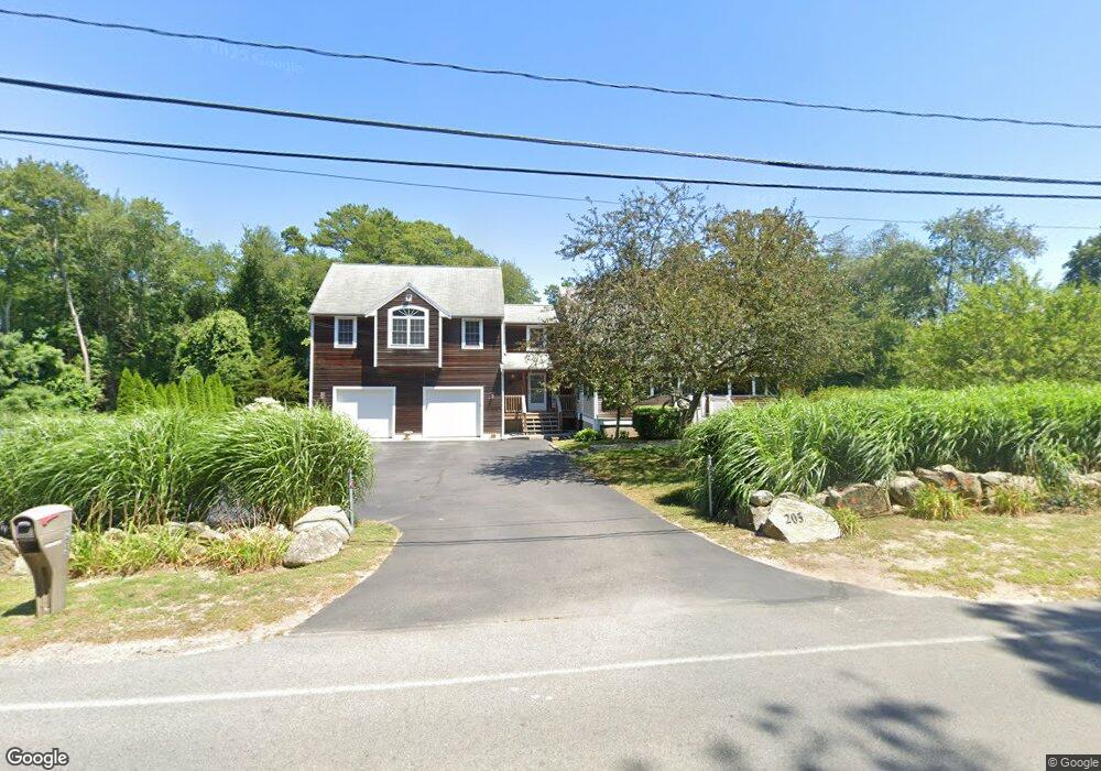
205 Hathaway St Wareham, MA 02571
Estimated Value: $603,000 - $873,000
4
Beds
3
Baths
2,822
Sq Ft
$249/Sq Ft
Est. Value
About This Home
This home is located at 205 Hathaway St, Wareham, MA 02571 and is currently estimated at $702,639, approximately $248 per square foot. 205 Hathaway St is a home located in Plymouth County with nearby schools including Tabor Academy.
Ownership History
Date
Name
Owned For
Owner Type
Purchase Details
Closed on
Feb 15, 1995
Sold by
Fnma
Bought by
Monteiro Lisa A
Current Estimated Value
Home Financials for this Owner
Home Financials are based on the most recent Mortgage that was taken out on this home.
Original Mortgage
$63,150
Interest Rate
9.19%
Mortgage Type
Purchase Money Mortgage
Purchase Details
Closed on
Jun 7, 1994
Sold by
Sylvia Roland K and Sylvia Cynthia A
Bought by
Federal National Mortgage Association
Create a Home Valuation Report for This Property
The Home Valuation Report is an in-depth analysis detailing your home's value as well as a comparison with similar homes in the area
Home Values in the Area
Average Home Value in this Area
Purchase History
| Date | Buyer | Sale Price | Title Company |
|---|---|---|---|
| Monteiro Lisa A | $66,500 | -- | |
| Federal National Mortgage Association | $81,000 | -- |
Source: Public Records
Mortgage History
| Date | Status | Borrower | Loan Amount |
|---|---|---|---|
| Open | Federal National Mortgage Association | $92,250 | |
| Closed | Federal National Mortgage Association | $80,000 | |
| Closed | Federal National Mortgage Association | $63,150 |
Source: Public Records
Tax History Compared to Growth
Tax History
| Year | Tax Paid | Tax Assessment Tax Assessment Total Assessment is a certain percentage of the fair market value that is determined by local assessors to be the total taxable value of land and additions on the property. | Land | Improvement |
|---|---|---|---|---|
| 2025 | $6,484 | $622,300 | $128,400 | $493,900 |
| 2024 | $6,887 | $613,300 | $102,600 | $510,700 |
| 2023 | $6,017 | $557,500 | $93,200 | $464,300 |
| 2022 | $6,017 | $456,500 | $93,200 | $363,300 |
| 2021 | $5,462 | $406,100 | $93,200 | $312,900 |
| 2020 | $5,209 | $392,800 | $93,200 | $299,600 |
| 2019 | $4,751 | $357,500 | $94,600 | $262,900 |
| 2018 | $4,344 | $318,700 | $94,600 | $224,100 |
| 2017 | $4,287 | $318,700 | $94,600 | $224,100 |
| 2016 | $3,985 | $294,500 | $94,600 | $199,900 |
| 2015 | $3,785 | $289,600 | $94,600 | $195,000 |
| 2014 | $4,053 | $315,400 | $94,600 | $220,800 |
Source: Public Records
Map
Nearby Homes
- 687 Main St
- 19 Station St
- 437 Main St
- 233 Marion Rd
- 53 Starboard Dr Unit 36G
- 21 Windsor Dr
- 850 Main St
- 110 Mayflower Ridge Dr
- 6 A Rock Marsh Rd Unit A
- 6 A Rock Marsh Rd Unit A
- 189 Pine View Terrace
- 62 High St
- 87 Great Hill Dr
- 199 Windswept Rd
- 59 Timber Ln
- 5 Sola's Cir
- 4 Bachant Way
- 41 Longboat Rd
- 46 Helen St
- 45 Main St Unit 38
- 2 Brittany Dr
- Lot 6 Brittany Dr
- 207 Hathaway St
- 201 Hathaway St
- 4 Brittany Dr
- 4 Brittany Dr
- Lot 3 Brittany Dr
- 210 Hathaway St
- 208 Hathaway St
- 1 Brittany Dr
- 5 Brittany Dr
- 5 Brittany Dr
- 199 Hathaway St
- 206 Hathaway St
- 204 Hathaway St
- 7 Brittany Dr
- 197 Hathaway St
- 213 Hathaway St
- 8 Brittany Dr
- 6 Lots Brittany Dr