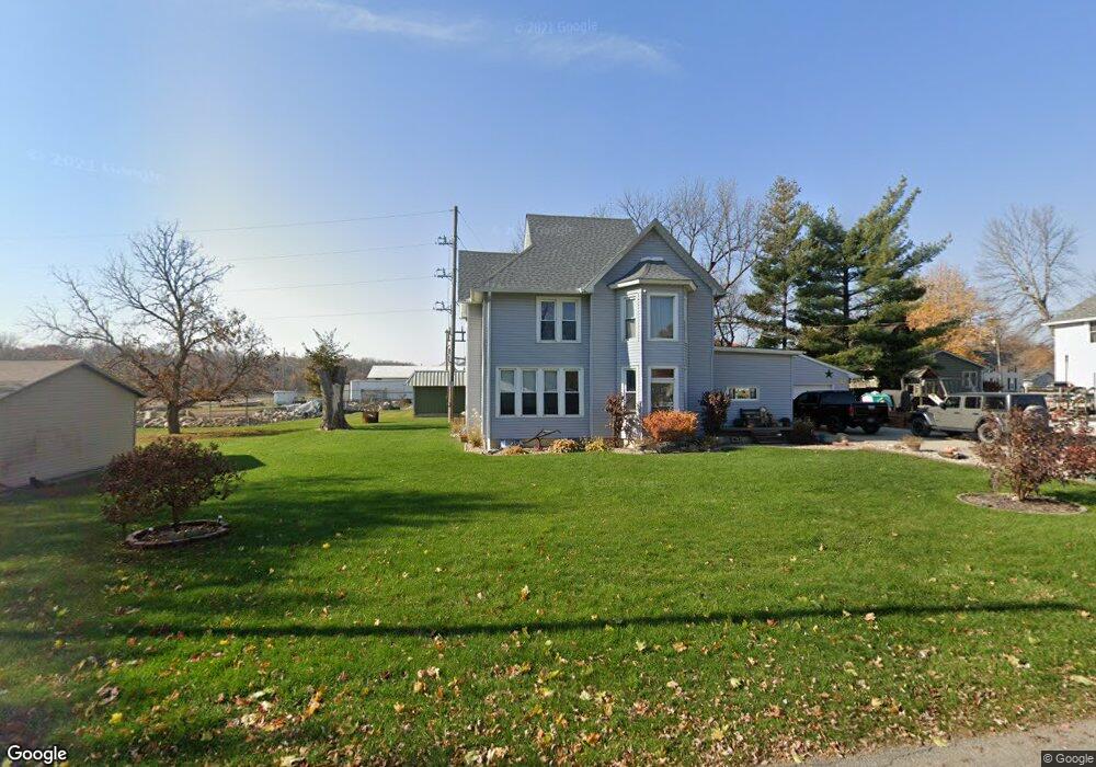
205 Jennings St Conrad, IA 50621
Estimated Value: $153,744 - $180,000
3
Beds
2
Baths
2,032
Sq Ft
$79/Sq Ft
Est. Value
About This Home
This home is located at 205 Jennings St, Conrad, IA 50621 and is currently estimated at $161,436, approximately $79 per square foot. 205 Jennings St is a home located in Grundy County with nearby schools including BCLUW Elementary School, BCLUW Middle School, and BCLUW High School.
Ownership History
Date
Name
Owned For
Owner Type
Purchase Details
Closed on
Jul 7, 2011
Sold by
Mcateer Michael S and Mcateer Debra J
Bought by
Averill Merle C and Averill Maria L
Current Estimated Value
Home Financials for this Owner
Home Financials are based on the most recent Mortgage that was taken out on this home.
Original Mortgage
$73,500
Outstanding Balance
$28,435
Interest Rate
4.63%
Mortgage Type
Future Advance Clause Open End Mortgage
Estimated Equity
$133,001
Create a Home Valuation Report for This Property
The Home Valuation Report is an in-depth analysis detailing your home's value as well as a comparison with similar homes in the area
Home Values in the Area
Average Home Value in this Area
Purchase History
| Date | Buyer | Sale Price | Title Company |
|---|---|---|---|
| Averill Merle C | $83,500 | -- |
Source: Public Records
Mortgage History
| Date | Status | Borrower | Loan Amount |
|---|---|---|---|
| Open | Averill Merle C | $73,500 |
Source: Public Records
Tax History Compared to Growth
Tax History
| Year | Tax Paid | Tax Assessment Tax Assessment Total Assessment is a certain percentage of the fair market value that is determined by local assessors to be the total taxable value of land and additions on the property. | Land | Improvement |
|---|---|---|---|---|
| 2025 | $2,052 | $145,560 | $13,610 | $131,950 |
| 2024 | $2,052 | $131,690 | $13,610 | $118,080 |
| 2023 | $1,902 | $131,690 | $13,610 | $118,080 |
| 2022 | $1,802 | $111,440 | $11,660 | $99,780 |
| 2021 | $1,802 | $111,440 | $11,660 | $99,780 |
| 2020 | $1,556 | $92,830 | $11,660 | $81,170 |
| 2019 | $1,390 | $92,830 | $11,660 | $81,170 |
| 2018 | $1,536 | $85,910 | $11,660 | $74,250 |
| 2017 | $1,524 | $0 | $0 | $0 |
| 2016 | $1,524 | $0 | $0 | $0 |
| 2015 | $1,524 | $0 | $0 | $0 |
| 2014 | $1,542 | $0 | $0 | $0 |
Source: Public Records
Map
Nearby Homes
- 509 E Walnut St
- 109 N Lincoln St
- 611 E Center St
- 213 N Dwight St
- 707 Circle Dr
- 401 Farmers
- 206 N Hartwig St Unit Lot 2
- 510 N Main St
- 510 N Main St Unit Lot 1
- 405 Farmers
- 214/216 E Lillian Ave Unit Lot 25/26
- 206/208 E Lillian Ave Unit Lot 29/30
- 210/212 E Lillian Ave Unit Lot 27/28
- 218/220 E Lillian Ave Unit Lot 23/24
- 401 N Vernon St Unit 22
- 405 N Vernon St Unit 21
- 409 Farmers
- 409 N Vernon St Unit 20
- 738 Circle Dr
- 413 N Vernon St Unit 19
- 202 S Jennings St
- 209 S Jennings St
- 313 Walnut St
- 309 E Walnut St
- 402 E Walnut St
- 1 S Jennings St
- 314 E Walnut St
- 114 S Jennings St
- 115 S Jennings St
- 413 E Walnut St
- 306 E Walnut St
- 111 S Jennings St
- 218 E Walnut St
- 302 E Walnut St
- 102 S Jennings St
- 106 S Jennings St
- 110 S Jennings St
- 117 S Alice St
- 113 S Alice St
- 315 E Center St