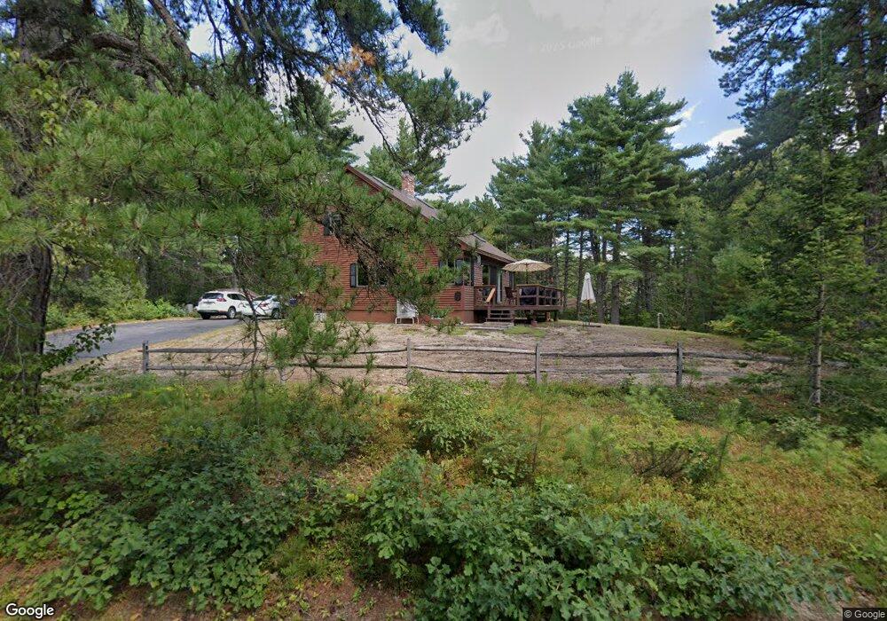
205 Kingswood Cir Silver Lake, NH 03875
Estimated Value: $428,000 - $464,000
3
Beds
2
Baths
1,509
Sq Ft
$294/Sq Ft
Est. Value
About This Home
This home is located at 205 Kingswood Cir, Silver Lake, NH 03875 and is currently estimated at $444,245, approximately $294 per square foot. 205 Kingswood Cir is a home with nearby schools including Madison Elementary School.
Ownership History
Date
Name
Owned For
Owner Type
Purchase Details
Closed on
Sep 3, 2021
Sold by
Simkins Mark A and Simkins Josephine E
Bought by
Andrews Robert B and Andrews Kathleen
Current Estimated Value
Home Financials for this Owner
Home Financials are based on the most recent Mortgage that was taken out on this home.
Original Mortgage
$306,000
Outstanding Balance
$278,022
Interest Rate
2.7%
Mortgage Type
Purchase Money Mortgage
Estimated Equity
$166,223
Create a Home Valuation Report for This Property
The Home Valuation Report is an in-depth analysis detailing your home's value as well as a comparison with similar homes in the area
Home Values in the Area
Average Home Value in this Area
Purchase History
| Date | Buyer | Sale Price | Title Company |
|---|---|---|---|
| Andrews Robert B | $345,000 | None Available |
Source: Public Records
Mortgage History
| Date | Status | Borrower | Loan Amount |
|---|---|---|---|
| Open | Andrews Robert B | $306,000 |
Source: Public Records
Tax History Compared to Growth
Tax History
| Year | Tax Paid | Tax Assessment Tax Assessment Total Assessment is a certain percentage of the fair market value that is determined by local assessors to be the total taxable value of land and additions on the property. | Land | Improvement |
|---|---|---|---|---|
| 2024 | $3,356 | $212,800 | $62,200 | $150,600 |
| 2023 | $3,613 | $212,800 | $62,200 | $150,600 |
| 2022 | $3,296 | $212,800 | $62,200 | $150,600 |
| 2021 | $2,849 | $206,900 | $62,200 | $144,700 |
| 2020 | $3,166 | $206,900 | $62,200 | $144,700 |
| 2019 | $3,042 | $166,600 | $56,500 | $110,100 |
| 2018 | $3,154 | $166,600 | $56,500 | $110,100 |
| 2017 | $2,816 | $166,600 | $56,500 | $110,100 |
| 2016 | $2,754 | $166,300 | $56,500 | $109,800 |
| 2015 | $2,746 | $166,300 | $56,500 | $109,800 |
| 2014 | $2,830 | $177,300 | $56,500 | $120,800 |
| 2013 | $2,798 | $177,300 | $56,500 | $120,800 |
Source: Public Records
Map
Nearby Homes
- 10 Alexander Ave
- 00 Caroline Rd
- 198 White Tail Ln
- 748 Plains Rd
- 17 Amidon Ln
- 78 Berry Ln
- 1118 Turkey St
- 80 Elliot Ln
- Lot 18.1 White Mountain Hwy
- 24 Flynn Ln
- 330 Benjamin Wentworth Dr
- 121 Charlotte Point Rd
- 10 Margo Ln
- 0 Alden Washburn Dr Unit 5066667
- 00 Alden Washburn Dr
- 12 Logan Way
- 70 White Mountain Hwy
- 49 Deer Hill Rd
- 1311 Village Rd
- 51 Poco Dr
- 0 Kingswood Cir Unit 4901977
- 253 Kingswood Cir
- 1124 Plains Rd
- 33 Knight Rd
- 1114 Plains Rd
- 256 Kingswood Cir
- 19 Kingswood Cir
- 38 Knight Rd
- 153 Kingswood Cir
- 1194 Plains Rd
- 1096 Plains Rd
- 55 Knight Rd
- 135 Kingswood Cir
- 1101 Plains Rd
- 366 Moores Pond Rd
- 386 Moores Pond Rd
- 1210 Plains Rd
- 1072 Plains Rd
- 54 Knight Rd
- 81 Knight Rd