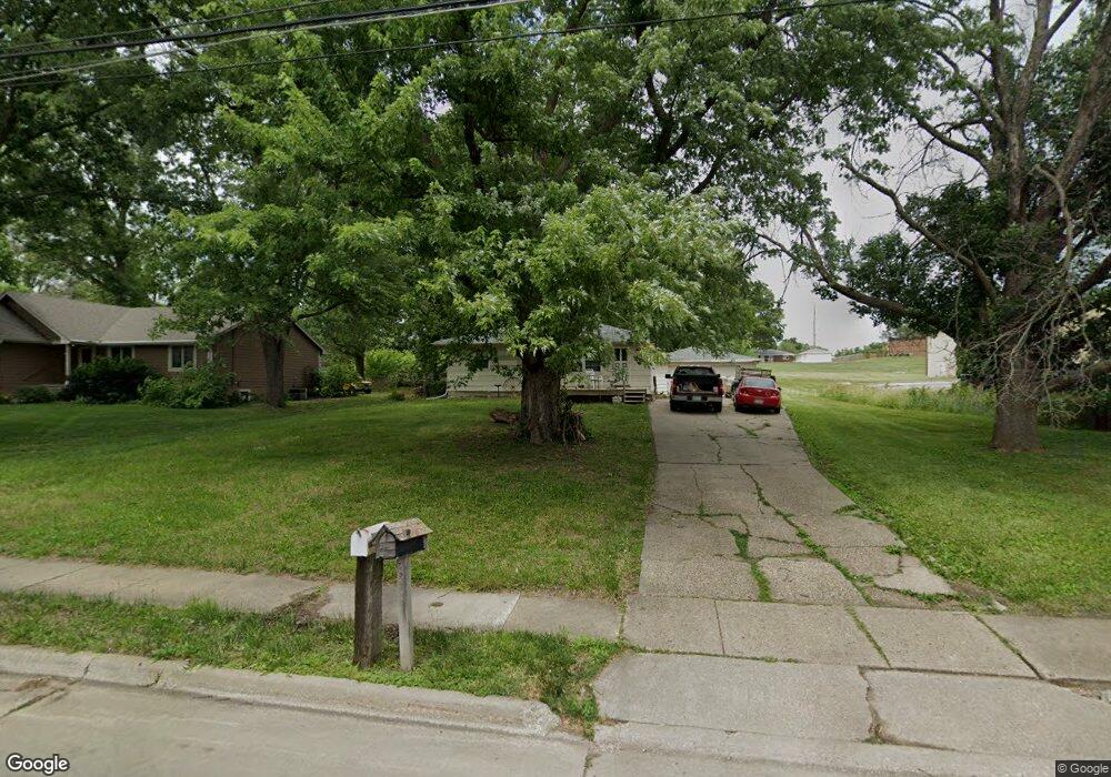
205 Leach Ave Des Moines, IA 50315
Watrous Heights NeighborhoodEstimated Value: $168,000 - $198,842
3
Beds
1
Bath
879
Sq Ft
$212/Sq Ft
Est. Value
About This Home
This home is located at 205 Leach Ave, Des Moines, IA 50315 and is currently estimated at $185,961, approximately $211 per square foot. 205 Leach Ave is a home located in Polk County with nearby schools including South Union Elementary School, Brody Middle School, and Lincoln High School.
Ownership History
Date
Name
Owned For
Owner Type
Purchase Details
Closed on
Dec 18, 2006
Sold by
Simmons James Richard and Simmons Vickie L
Bought by
Simmons Jr James Richard and Simmons Melissa
Current Estimated Value
Home Financials for this Owner
Home Financials are based on the most recent Mortgage that was taken out on this home.
Original Mortgage
$102,800
Outstanding Balance
$61,326
Interest Rate
6.27%
Mortgage Type
Purchase Money Mortgage
Estimated Equity
$124,635
Purchase Details
Closed on
Jul 27, 2006
Sold by
Simmons James R
Bought by
Simmons James R and Simmons Vickie L
Create a Home Valuation Report for This Property
The Home Valuation Report is an in-depth analysis detailing your home's value as well as a comparison with similar homes in the area
Home Values in the Area
Average Home Value in this Area
Purchase History
| Date | Buyer | Sale Price | Title Company |
|---|---|---|---|
| Simmons Jr James Richard | $128,000 | None Available | |
| Simmons James R | -- | None Available |
Source: Public Records
Mortgage History
| Date | Status | Borrower | Loan Amount |
|---|---|---|---|
| Open | Simmons Jr James Richard | $102,800 |
Source: Public Records
Tax History Compared to Growth
Tax History
| Year | Tax Paid | Tax Assessment Tax Assessment Total Assessment is a certain percentage of the fair market value that is determined by local assessors to be the total taxable value of land and additions on the property. | Land | Improvement |
|---|---|---|---|---|
| 2025 | $3,200 | $195,600 | $48,700 | $146,900 |
| 2024 | $3,200 | $173,100 | $42,400 | $130,700 |
| 2023 | $3,032 | $173,100 | $42,400 | $130,700 |
| 2022 | $3,006 | $137,500 | $34,900 | $102,600 |
| 2021 | $2,968 | $137,500 | $34,900 | $102,600 |
| 2020 | $3,078 | $127,500 | $32,700 | $94,800 |
| 2019 | $2,826 | $127,500 | $32,700 | $94,800 |
| 2018 | $2,792 | $113,700 | $28,500 | $85,200 |
| 2017 | $2,666 | $113,700 | $28,500 | $85,200 |
| 2016 | $2,592 | $107,100 | $26,400 | $80,700 |
| 2015 | $2,592 | $107,100 | $26,400 | $80,700 |
| 2014 | $2,492 | $106,200 | $25,600 | $80,600 |
Source: Public Records
Map
Nearby Homes
- 117 E Watrous Ave
- 108 E Philip St
- 117 E Rose Ave
- 606 Marion St
- 126 E Maxwelton Dr
- 4204 SW 7th St
- 102 E Emma Ave
- 518 Maxwelton Dr
- 515 Emma Ave
- 3634 SW 4th St
- 209 E Philip St
- 304 Herold Ave
- 410 Thornton Ave
- 115 Mckinley Ave
- 612 Emma Ave
- 3503 SW 2nd St
- 4316 SE 4th St
- 3903 SW 9th St
- 314 E Rose Ave
- 311 E Emma Ave
- 209 Leach Ave
- 211 Leach Ave
- 208 Leach Ave
- 204 Leach Ave
- 212 Leach Ave
- 200 Leach Ave
- 226 Leach Ave
- 325 Leach Ave
- 4106 South Union St
- 4100 South Union St
- 150 Leach Ave
- 232 Leach Ave
- 238 Leach Ave
- 4200 South Union St
- 4200 S Union St
- 110 Watrous Ave
- 327 Leach Ave
- 200 Watrous Ave
- 114 Watrous Ave
- 212 Watrous Ave