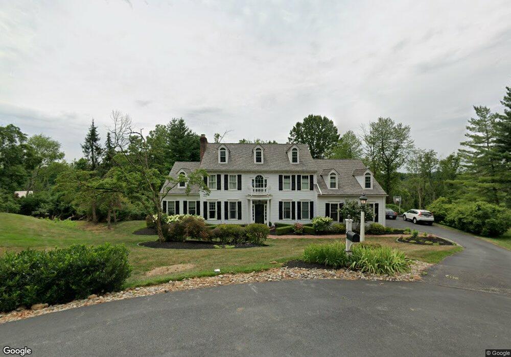
205 Liberty Ct Newtown Square, PA 19073
Estimated Value: $1,406,680 - $1,609,000
4
Beds
6
Baths
4,556
Sq Ft
$327/Sq Ft
Est. Value
About This Home
This home is located at 205 Liberty Ct, Newtown Square, PA 19073 and is currently estimated at $1,487,920, approximately $326 per square foot. 205 Liberty Ct is a home located in Chester County with nearby schools including General Wayne Elementary School, Great Valley Middle School, and Great Valley High School.
Ownership History
Date
Name
Owned For
Owner Type
Purchase Details
Closed on
Jan 24, 2001
Sold by
Kochenour Kenneth K and Kochenour Pamela E
Bought by
Kochenour Pamela E
Current Estimated Value
Purchase Details
Closed on
Jul 10, 1998
Sold by
Kochenour Kenneth K and Estadt Pamela J
Bought by
Kochenour Kenneth K and Kochenour Pamela J
Home Financials for this Owner
Home Financials are based on the most recent Mortgage that was taken out on this home.
Original Mortgage
$410,000
Interest Rate
7%
Create a Home Valuation Report for This Property
The Home Valuation Report is an in-depth analysis detailing your home's value as well as a comparison with similar homes in the area
Home Values in the Area
Average Home Value in this Area
Purchase History
| Date | Buyer | Sale Price | Title Company |
|---|---|---|---|
| Kochenour Pamela E | -- | Commonwealth Land Title Ins | |
| Kochenour Kenneth K | -- | -- |
Source: Public Records
Mortgage History
| Date | Status | Borrower | Loan Amount |
|---|---|---|---|
| Previous Owner | Kochenour Kenneth K | $410,000 |
Source: Public Records
Tax History Compared to Growth
Tax History
| Year | Tax Paid | Tax Assessment Tax Assessment Total Assessment is a certain percentage of the fair market value that is determined by local assessors to be the total taxable value of land and additions on the property. | Land | Improvement |
|---|---|---|---|---|
| 2025 | $12,337 | $433,020 | $123,600 | $309,420 |
| 2024 | $12,337 | $433,020 | $123,600 | $309,420 |
| 2023 | $12,017 | $433,020 | $123,600 | $309,420 |
| 2022 | $11,750 | $432,120 | $123,600 | $308,520 |
| 2021 | $11,512 | $432,120 | $123,600 | $308,520 |
| 2020 | $11,321 | $432,120 | $123,600 | $308,520 |
| 2019 | $11,211 | $432,120 | $123,600 | $308,520 |
| 2018 | $10,997 | $432,120 | $123,600 | $308,520 |
| 2017 | $10,997 | $432,120 | $123,600 | $308,520 |
| 2016 | $9,814 | $432,120 | $123,600 | $308,520 |
| 2015 | $9,814 | $432,120 | $123,600 | $308,520 |
| 2014 | $9,814 | $432,120 | $123,600 | $308,520 |
Source: Public Records
Map
Nearby Homes
- 402 Barrows Sheef
- 1406 Whispering Brooke Dr
- 2503 Sage Wood Dr Unit 2503
- 88 Longview Ln
- 99 Longview Ln
- 62 Barr Rd
- 7 Old Covered Bridge Rd
- 37 Barr Rd
- 31 Horseshoe Ln
- 52 Juliet Ln
- 211 Dutton Mill Rd
- 11 Spruce Rd
- 1601 Radcliffe Ct
- 1519 Middletown Rd
- 406 Worington Dr Unit 406
- 110 Fairfield Ct
- 15 Ridings Way Unit 5
- 24 Redtail Ct Unit 103
- 6 Hunt Club Ln
- 2305 Westfield Ct
- 203 Liberty Ct
- 204 Liberty Ct
- 202 Liberty Ct
- 201 Liberty Ct
- 123 Weatherburn Way
- 200 Liberty Ct
- 121 Weatherburn Way
- 505 Patriots Way
- 503 Patriots Way
- 119 Weatherburn Way
- 117 Weatherburn Way
- 115 Weatherburn Way
- 327 Patriots Way
- 329 Patriots Way
- 501 Patriots Way
- 113 Weatherburn Way
- 300 Freedom Ct
- 506 Patriots Way
- 111 Weatherburn Way
- 104 Weatherburn Way