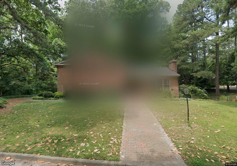
205 Military Rd Suffolk, VA 23434
Holy Neck NeighborhoodEstimated Value: $445,710 - $505,000
5
Beds
3
Baths
3,796
Sq Ft
$124/Sq Ft
Est. Value
About This Home
This home is located at 205 Military Rd, Suffolk, VA 23434 and is currently estimated at $470,678, approximately $123 per square foot. 205 Military Rd is a home located in Suffolk City with nearby schools including Elephant's Fork Elementary School, King's Fork Middle School, and King's Fork High School.
Ownership History
Date
Name
Owned For
Owner Type
Purchase Details
Closed on
Mar 22, 2012
Sold by
Rawls Iii Suc Tr Japeth E
Bought by
Francis Christopher
Current Estimated Value
Home Financials for this Owner
Home Financials are based on the most recent Mortgage that was taken out on this home.
Original Mortgage
$320,230
Outstanding Balance
$219,870
Interest Rate
3.86%
Mortgage Type
VA
Estimated Equity
$250,808
Create a Home Valuation Report for This Property
The Home Valuation Report is an in-depth analysis detailing your home's value as well as a comparison with similar homes in the area
Home Values in the Area
Average Home Value in this Area
Purchase History
| Date | Buyer | Sale Price | Title Company |
|---|---|---|---|
| Francis Christopher | $310,000 | -- |
Source: Public Records
Mortgage History
| Date | Status | Borrower | Loan Amount |
|---|---|---|---|
| Open | Francis Christopher | $320,230 |
Source: Public Records
Tax History Compared to Growth
Tax History
| Year | Tax Paid | Tax Assessment Tax Assessment Total Assessment is a certain percentage of the fair market value that is determined by local assessors to be the total taxable value of land and additions on the property. | Land | Improvement |
|---|---|---|---|---|
| 2024 | $5,194 | $429,200 | $63,800 | $365,400 |
| 2023 | $4,985 | $402,800 | $63,800 | $339,000 |
| 2022 | $4,029 | $369,600 | $58,000 | $311,600 |
| 2021 | $3,752 | $338,000 | $46,400 | $291,600 |
| 2020 | $3,362 | $302,900 | $46,400 | $256,500 |
| 2019 | $3,362 | $302,900 | $46,400 | $256,500 |
| 2018 | $3,449 | $298,200 | $46,400 | $251,800 |
| 2017 | $3,191 | $298,200 | $46,400 | $251,800 |
| 2016 | $3,191 | $298,200 | $46,400 | $251,800 |
| 2015 | $1,661 | $310,000 | $46,400 | $263,600 |
| 2014 | $1,661 | $310,000 | $46,400 | $263,600 |
Source: Public Records
Map
Nearby Homes
- 921 Howard Place
- 117 Park Rd
- 708 Maryland Ave
- 205 Bosley Ave
- 1013 Virginia Ave
- 916 Delaware Ave
- 211 S Broad St
- 118 S Broad St
- 207 Pitchkettle Rd
- 309 Linden Ave
- 822 2nd Ave
- 308 Linden Ave
- 314 Linden Ave
- 203 Saint James Ave
- 313 Saint James Ave
- 105 Brewer Ave
- 212 Saint James Ave
- 118 Saint James Ave
- 655 3rd Ave
- 717 Ashley Ave
- 904 Bishop Place
- 914 Maryland Ave
- 201 Military Rd
- 206 Military Rd
- 204 Military Rd
- 905 Howard Place
- 210 Military Rd
- 202 Military Rd
- 914 Bishop Place
- 909 Howard Place
- 916 Maryland Ave
- 905 Maryland Ave
- 200 Military Rd
- 913 Maryland Ave
- 207 Causey Ave
- 205 Causey Ave
- 300 Military Rd
- 209 Causey Ave
- 911 Howard Place
- 916 Bishop Place