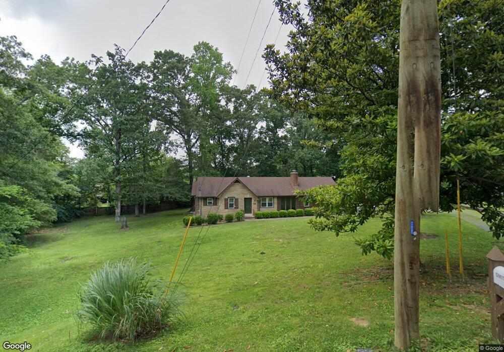
205 Mountain View Dr Dalton, GA 30721
Estimated Value: $190,000 - $282,000
Studio
1
Bath
1,379
Sq Ft
$158/Sq Ft
Est. Value
About This Home
This home is located at 205 Mountain View Dr, Dalton, GA 30721 and is currently estimated at $217,701, approximately $157 per square foot. 205 Mountain View Dr is a home located in Whitfield County with nearby schools including Roan Elementary School, Dalton High School, and Christian Heritage School.
Ownership History
Date
Name
Owned For
Owner Type
Purchase Details
Closed on
May 17, 2010
Sold by
Smith John Rodney
Bought by
Smith John Rodney
Current Estimated Value
Create a Home Valuation Report for This Property
The Home Valuation Report is an in-depth analysis detailing your home's value as well as a comparison with similar homes in the area
Purchase History
| Date | Buyer | Sale Price | Title Company |
|---|---|---|---|
| Smith John Rodney | -- | -- |
Source: Public Records
Tax History
| Year | Tax Paid | Tax Assessment Tax Assessment Total Assessment is a certain percentage of the fair market value that is determined by local assessors to be the total taxable value of land and additions on the property. | Land | Improvement |
|---|---|---|---|---|
| 2025 | $2,207 | $82,909 | $8,400 | $74,509 |
| 2024 | $2,207 | $82,909 | $8,400 | $74,509 |
| 2023 | $2,229 | $66,503 | $7,000 | $59,503 |
| 2022 | $1,462 | $49,834 | $7,350 | $42,484 |
| 2021 | $1,464 | $49,834 | $7,350 | $42,484 |
| 2020 | $1,509 | $49,834 | $7,350 | $42,484 |
| 2019 | $1,552 | $49,834 | $7,350 | $42,484 |
| 2018 | $1,497 | $47,904 | $7,350 | $40,554 |
| 2017 | $1,435 | $47,904 | $7,350 | $40,554 |
| 2016 | $1,599 | $44,028 | $7,144 | $36,884 |
| 2014 | $1,384 | $41,931 | $6,804 | $35,127 |
| 2013 | -- | $41,931 | $6,804 | $35,127 |
Source: Public Records
Map
Nearby Homes
- 171 Keith St
- 1217 Hair St Unit 1
- 306 Robinwood Dr
- 108 Van Buren Dr
- 1118 Dozier St
- 1133 Orman St
- 303 Janice St
- 301B Fields Ave
- 307 N Bogle St
- 1114 Underwood St
- 204 N Bogle St
- 1902 Bartenfield Dr
- 825 Martin Luther King jr Blvd
- 0 Underwood St Unit 129860
- 258 Richardson Dr
- 264 Richardson Dr
- 514 Sheridan Ave
- 1104 May St
- 626 Fifth Ave
- 601 Juniper Ave
- 207 Mountain View Dr
- 209 Mountain View Dr
- 203 Mountain View Dr
- 1412 Burgess Dr
- 1410 Burgess Dr
- 1414 Burgess Dr
- 1408 Burgess Dr
- 1408 Burgess Dr
- 105 S Grade Dr
- 105 S Grade Dr
- 1406 Burgess Dr
- 210 Mountain View Dr
- 1404 Burgess Dr
- 204 Mountain View Dr
- 1416 Burgess Dr
- 211 Mountain View Dr
- 101 N Grade Dr
- 426 Burgess Dr
- 1407 Burgess Dr
- 109 S Grade Dr
Your Personal Tour Guide
Ask me questions while you tour the home.