205 Mountainside Dr Gunnison, CO 81230
Estimated Value: $637,000 - $975,000
1
Bed
1
Bath
1,464
Sq Ft
$527/Sq Ft
Est. Value
About This Home
This home is located at 205 Mountainside Dr, Gunnison, CO 81230 and is currently estimated at $770,989, approximately $526 per square foot. 205 Mountainside Dr is a home located in Gunnison County with nearby schools including Gunnison Elementary School, Gunnison Middle School, and Crested Butte Community School.
Ownership History
Date
Name
Owned For
Owner Type
Purchase Details
Closed on
Dec 16, 2016
Sold by
Brudzinski Tina A
Bought by
Day Mark E and Brudzinski Tina A
Current Estimated Value
Home Financials for this Owner
Home Financials are based on the most recent Mortgage that was taken out on this home.
Original Mortgage
$20,000
Outstanding Balance
$16,423
Interest Rate
4.08%
Mortgage Type
New Conventional
Estimated Equity
$754,566
Purchase Details
Closed on
Mar 2, 1994
Create a Home Valuation Report for This Property
The Home Valuation Report is an in-depth analysis detailing your home's value as well as a comparison with similar homes in the area
Home Values in the Area
Average Home Value in this Area
Purchase History
| Date | Buyer | Sale Price | Title Company |
|---|---|---|---|
| Day Mark E | -- | Stewart Title | |
| Brudzinski Tina A | -- | None Available | |
| -- | $22,000 | -- |
Source: Public Records
Mortgage History
| Date | Status | Borrower | Loan Amount |
|---|---|---|---|
| Open | Day Mark E | $20,000 |
Source: Public Records
Tax History Compared to Growth
Tax History
| Year | Tax Paid | Tax Assessment Tax Assessment Total Assessment is a certain percentage of the fair market value that is determined by local assessors to be the total taxable value of land and additions on the property. | Land | Improvement |
|---|---|---|---|---|
| 2024 | $1,767 | $37,530 | $13,110 | $24,420 |
| 2023 | $1,767 | $33,840 | $11,820 | $22,020 |
| 2022 | $1,772 | $29,610 | $7,200 | $22,410 |
| 2021 | $1,598 | $30,450 | $7,400 | $23,050 |
| 2020 | $1,473 | $26,520 | $6,240 | $20,280 |
| 2019 | $1,440 | $26,520 | $6,240 | $20,280 |
| 2018 | $1,158 | $20,760 | $5,690 | $15,070 |
| 2017 | $1,173 | $20,760 | $5,690 | $15,070 |
| 2016 | $1,246 | $22,150 | $4,000 | $18,150 |
Source: Public Records
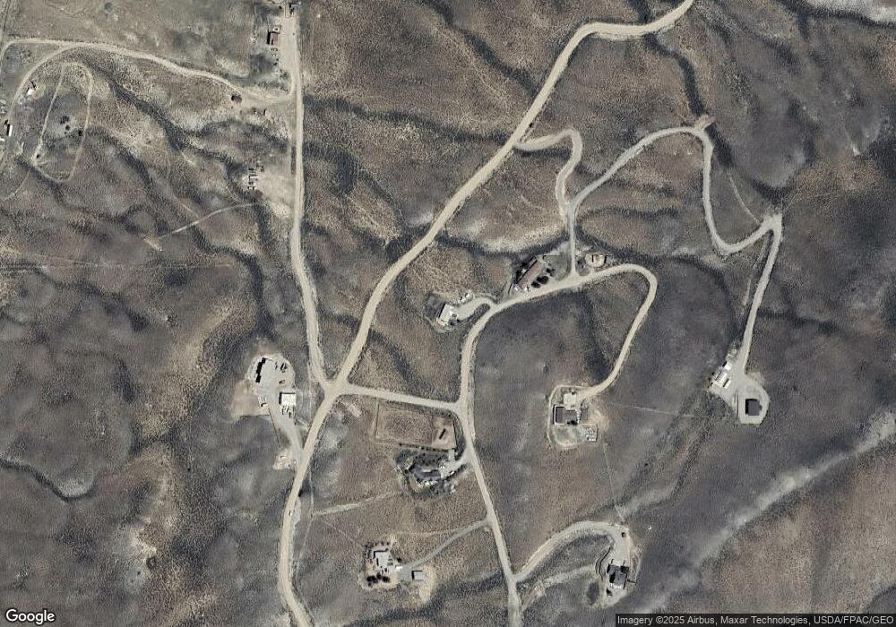
Map
Nearby Homes
- 274 Tobin Ln
- tbd Esty Ln
- 6466 State Highway 135
- 82 Rocky River Ln
- Lot 39 Sequoia Dr
- Lot 37 Sequoia Dr
- 405 Sequoia Dr
- 8077 State Highway 135
- 150 Sandpiper Trail
- 26 Meadow Lark Trail
- 353 Meadowlark Trail
- 32 Ponderosa Ln
- 775 Sierra Vista Way
- 157 Spring Meadows Trail
- 409 Sierra Vista Way
- 255 Riverwalk Dr
- 196 Kokanee Ct
- 87 Kokanee Ct
- 87 & 141 & 199 Kokanee Ct
- 1050 & 1130 Horse River Ranch Dr
- 207 Mountainside Dr
- 207 Mountainside Dr Unit OVERLOOKS THE OHIO C
- 207 Mountainside Dr Unit Esty Lane Overlookin
- 0 Mountainside Dr Unit 3834
- 0 Mountainside Dr Unit OVERLOOKS THE OHIO C
- 0 Mountain Unit AMAZING VIEWS OF OHI
- 0 Mountainside Dr Unit 10385
- 0 Mountainside Dr Unit Esty Lane Overlookin
- 0 Mountainside Dr Unit 722642
- 211 Mountainside Dr
- 100 Mountainside Dr
- 100 Mountainside Dr Unit AMAZING VIEWS OF OHI
- 1207 Esty Ln
- 0 Esty Ln Unit 8475
- 0 Esty Ln Unit 9457
- 0 Esty Ln Unit 11380
- 0 Esty Ln Unit 2234
- 0 Esty Ln Unit 2281
- 0 Esty Ln Unit 13826
- 0 Esty Ln Unit 3559