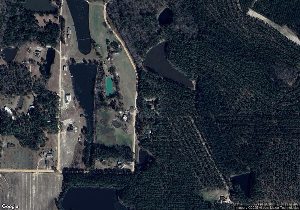
205 My Own Rd Fitzgerald, GA 31750
Estimated Value: $171,252 - $309,000
3
Beds
2
Baths
1,582
Sq Ft
$139/Sq Ft
Est. Value
About This Home
This home is located at 205 My Own Rd, Fitzgerald, GA 31750 and is currently estimated at $219,813, approximately $138 per square foot. 205 My Own Rd is a home located in Ben Hill County with nearby schools including Ben Hill County Primary School, Ben Hill Elementary School, and Ben Hill County Middle School.
Ownership History
Date
Name
Owned For
Owner Type
Purchase Details
Closed on
Aug 21, 2006
Sold by
Fussell Lewis T
Bought by
Fussell Lewis T and Stubbs Kay Y
Current Estimated Value
Purchase Details
Closed on
Feb 18, 2003
Sold by
Mitchell Stanley H
Bought by
Fussell Lewis T
Create a Home Valuation Report for This Property
The Home Valuation Report is an in-depth analysis detailing your home's value as well as a comparison with similar homes in the area
Home Values in the Area
Average Home Value in this Area
Purchase History
| Date | Buyer | Sale Price | Title Company |
|---|---|---|---|
| Fussell Lewis T | -- | -- | |
| Fussell Lewis T | $50,000 | -- |
Source: Public Records
Tax History Compared to Growth
Tax History
| Year | Tax Paid | Tax Assessment Tax Assessment Total Assessment is a certain percentage of the fair market value that is determined by local assessors to be the total taxable value of land and additions on the property. | Land | Improvement |
|---|---|---|---|---|
| 2024 | $1,268 | $47,338 | $1,744 | $45,594 |
| 2023 | $664 | $45,656 | $1,744 | $43,912 |
| 2022 | $1,101 | $39,295 | $1,744 | $37,551 |
| 2021 | $1,041 | $36,298 | $1,744 | $34,554 |
| 2020 | $1,045 | $36,079 | $1,744 | $34,335 |
| 2019 | $1,041 | $36,079 | $1,744 | $34,335 |
| 2018 | $1,187 | $35,859 | $1,744 | $34,115 |
| 2017 | $1,029 | $35,567 | $1,744 | $33,823 |
| 2016 | $989 | $35,745 | $1,744 | $34,001 |
| 2015 | -- | $36,066 | $1,744 | $34,322 |
| 2014 | -- | $36,709 | $1,744 | $34,965 |
Source: Public Records
Map
Nearby Homes
- 0 Little Rd
- 178 Gardenia Ln
- 115 City Road 191
- 143 Kathleen Dr
- 152 Seaweed Rd
- 139 Hunting Ridge Dr
- 164 Peter Coffee Rd
- 153 Clare Rd
- 135 Carol Cir
- 127 Carol Cir
- 342 Lower Rebecca Rd
- 229 Hudson Rd
- 1095 N Merrimac Drive Extension
- 117 Gaff Ave
- 0 Sinclair Rd
- 237 Dewey McGlamry Rd
- 117 Cooper St
- 140 Jack Rd
- 137 Jack Allen Rd W
- 0 McCrimmon Rd
