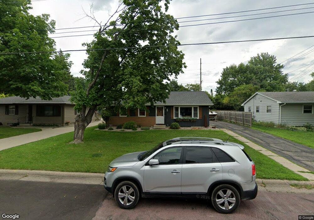
205 N Black Eagle Dr Mankato, MN 56001
Peacepipe Park NeighborhoodEstimated Value: $231,800 - $266,000
3
Beds
1
Bath
2,240
Sq Ft
$109/Sq Ft
Est. Value
About This Home
This home is located at 205 N Black Eagle Dr, Mankato, MN 56001 and is currently estimated at $244,700, approximately $109 per square foot. 205 N Black Eagle Dr is a home located in Blue Earth County with nearby schools including Kennedy Elementary School, Prairie Winds Middle School, and Mankato East Senior High School.
Ownership History
Date
Name
Owned For
Owner Type
Purchase Details
Closed on
Mar 25, 2021
Sold by
Rohn Ronald and Rohn Lavonne
Bought by
Busch Noelle A
Current Estimated Value
Home Financials for this Owner
Home Financials are based on the most recent Mortgage that was taken out on this home.
Original Mortgage
$102,800
Outstanding Balance
$92,462
Interest Rate
2.9%
Mortgage Type
New Conventional
Estimated Equity
$152,238
Purchase Details
Closed on
Oct 29, 2019
Sold by
Fannie Mae
Bought by
Rohn Ronald and Rohn Lavonne
Create a Home Valuation Report for This Property
The Home Valuation Report is an in-depth analysis detailing your home's value as well as a comparison with similar homes in the area
Home Values in the Area
Average Home Value in this Area
Purchase History
| Date | Buyer | Sale Price | Title Company |
|---|---|---|---|
| Busch Noelle A | $128,500 | Title Resources | |
| Rohn Ronald | -- | Title Resources | |
| Busch Noelle Noelle | $128,500 | -- |
Source: Public Records
Mortgage History
| Date | Status | Borrower | Loan Amount |
|---|---|---|---|
| Open | Busch Noelle A | $102,800 | |
| Closed | Busch Noelle Noelle | $102,800 |
Source: Public Records
Tax History Compared to Growth
Tax History
| Year | Tax Paid | Tax Assessment Tax Assessment Total Assessment is a certain percentage of the fair market value that is determined by local assessors to be the total taxable value of land and additions on the property. | Land | Improvement |
|---|---|---|---|---|
| 2025 | $2,220 | $216,200 | $30,900 | $185,300 |
| 2024 | $2,220 | $218,000 | $30,600 | $187,400 |
| 2023 | $2,112 | $220,300 | $30,600 | $189,700 |
| 2022 | $1,774 | $196,100 | $30,600 | $165,500 |
| 2021 | $1,828 | $158,500 | $30,900 | $127,600 |
| 2020 | $1,636 | $147,400 | $30,900 | $116,500 |
| 2019 | $1,512 | $147,400 | $30,900 | $116,500 |
| 2018 | $1,612 | $137,900 | $30,900 | $107,000 |
| 2017 | $1,334 | $145,600 | $30,900 | $114,700 |
| 2016 | $1,326 | $130,600 | $30,900 | $99,700 |
| 2015 | $12 | $130,600 | $30,900 | $99,700 |
| 2014 | $1,360 | $124,800 | $30,900 | $93,900 |
Source: Public Records
Map
Nearby Homes
- 1709 Fair St
- 122 N Plainview Ave
- 412 Holly Ln
- 116 N Manitou Dr
- 100 N Belmont Dr
- 1025 Belle Ave Unit A31
- 220 Heather Ln
- 109 Celestine Cir
- 2513 Marwood Dr
- 311 S Redwood Dr
- 0 Lot 1 Block 2 Elwin Addition No 2
- 103 Bardin Dr Unit 104
- 2609 E Main St
- 215 Belle Ave
- 108 Laurinda Ln Unit 158
- 102 Terri Ln Unit 139
- 109 Laurinda Ln Unit 93
- 125 Thissen Ct
- 118 Lynn Ln Unit 82
- 112 Terri Ln Unit 136
- 209 N Black Eagle Dr
- 201 N Black Eagle Dr
- 213 N Black Eagle Dr
- 133 N Black Eagle Dr
- 206 N Black Eagle Dr
- 210 N Black Eagle Dr
- 202 N Black Eagle Dr
- 217 N Black Eagle Dr
- 214 N Black Eagle Dr
- 20 E Mayfair Cir
- 128 N Mayfair Dr
- 129 N Black Eagle Dr
- 20 Mayfair Cir
- 132 N Mayfair Dr
- 130 N Black Eagle Dr
- 218 N Black Eagle Dr
- 30 Mayfair Cir
- 221 N Black Eagle Dr
- 125 N Black Eagle Dr
- 124 N Mayfair Dr