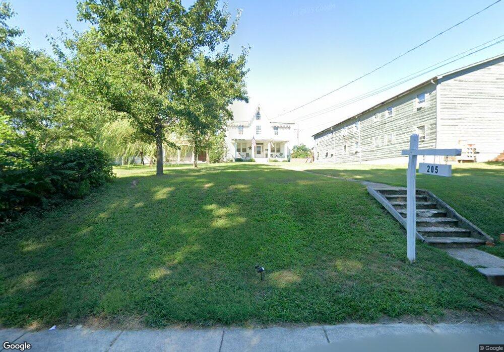
205 N Main St North East, MD 21901
Estimated Value: $307,000 - $484,000
--
Bed
2
Baths
2,629
Sq Ft
$135/Sq Ft
Est. Value
About This Home
This home is located at 205 N Main St, North East, MD 21901 and is currently estimated at $354,223, approximately $134 per square foot. 205 N Main St is a home located in Cecil County with nearby schools including North East Elementary School, North East Middle School, and North East High School.
Ownership History
Date
Name
Owned For
Owner Type
Purchase Details
Closed on
Mar 10, 2014
Sold by
Reynolds Harry F and Reynolds Katherine B
Bought by
State Of Maryland
Current Estimated Value
Purchase Details
Closed on
Jun 11, 1986
Sold by
Tubbs John D and Tubbs Clara M
Bought by
Reynolds Harry F and Reynolds Katherine B
Home Financials for this Owner
Home Financials are based on the most recent Mortgage that was taken out on this home.
Original Mortgage
$43,000
Interest Rate
10.74%
Create a Home Valuation Report for This Property
The Home Valuation Report is an in-depth analysis detailing your home's value as well as a comparison with similar homes in the area
Home Values in the Area
Average Home Value in this Area
Purchase History
| Date | Buyer | Sale Price | Title Company |
|---|---|---|---|
| State Of Maryland | -- | None Available | |
| Reynolds Harry F | $43,000 | -- |
Source: Public Records
Mortgage History
| Date | Status | Borrower | Loan Amount |
|---|---|---|---|
| Previous Owner | Reynolds Harry F | $43,000 |
Source: Public Records
Tax History Compared to Growth
Tax History
| Year | Tax Paid | Tax Assessment Tax Assessment Total Assessment is a certain percentage of the fair market value that is determined by local assessors to be the total taxable value of land and additions on the property. | Land | Improvement |
|---|---|---|---|---|
| 2025 | $4,173 | $222,567 | $0 | $0 |
| 2024 | $3,961 | $210,733 | $0 | $0 |
| 2023 | $3,770 | $198,900 | $54,100 | $144,800 |
| 2022 | $3,401 | $194,733 | $0 | $0 |
| 2021 | $3,305 | $190,567 | $0 | $0 |
| 2020 | $3,366 | $186,400 | $48,700 | $137,700 |
| 2019 | $3,366 | $180,833 | $0 | $0 |
| 2018 | $3,263 | $175,267 | $0 | $0 |
| 2017 | $3,162 | $169,700 | $0 | $0 |
| 2016 | $2,893 | $166,967 | $0 | $0 |
| 2015 | $2,893 | $164,233 | $0 | $0 |
| 2014 | $3,220 | $161,500 | $0 | $0 |
Source: Public Records
Map
Nearby Homes
- parcel # 66 Rolling Mill Ln
- 15 S Mauldin Ave
- 0 Pulaski Hwy
- 2515 Pulaski Hwy
- 511 Deans Bank Rd
- 14 Mallory Way Unit WYNDHAM
- 62 Rehill Ave
- 0 Mallory Way Unit MDCC2003990
- 0 Mallory Way Unit MDCC169342
- 51 Hickory Dr
- 144 NE Isles Dr Unit 95A
- 122 NE Isle Dr
- 73 NE Isle Dr
- 37 NE Isle Dr
- 101 Belvue Rd
- 162 Razor Strap Rd
- 6 Colonial Cir
- 13 Forest Dr
- 630 W Old Philadelphia Rd
- 57 Falls Rd
- 203 N Main St
- 233 N Main St
- 115 N Main St
- 305 N Main St
- 114116 Main St
- 120 N Main St
- 120 N Main St Unit 3
- 120 N Main St Unit 2
- 120 N Main St Unit 1
- 120 N Main St Unit A
- 127 N Main St
- 309 N Main St
- 118 N Main St
- 102 High St
- 114 N Main St
- 114 N Main St Unit 114/116
- 153 S Main St
- 106 High St
- 105 High St
- 304 / 306 N Main St