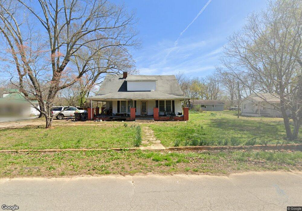
205 N Main St Saint Joseph, TN 38481
Estimated Value: $96,000 - $125,000
--
Bed
1
Bath
1,962
Sq Ft
$56/Sq Ft
Est. Value
About This Home
This home is located at 205 N Main St, Saint Joseph, TN 38481 and is currently estimated at $109,764, approximately $55 per square foot. 205 N Main St is a home located in Lawrence County with nearby schools including South Lawrence Elementary School, Lawrenceburg Public Elementary School, and Ingram Sowell Elementary School.
Ownership History
Date
Name
Owned For
Owner Type
Purchase Details
Closed on
Sep 3, 2003
Sold by
Homecomings Financial Netw
Bought by
Steven Martin
Current Estimated Value
Purchase Details
Closed on
Jan 29, 2003
Sold by
Willenberg Gene A
Bought by
Homecomings Financial Netw
Purchase Details
Closed on
Feb 8, 1991
Bought by
Willenlburg Gene A and Willenlburg Johnnie
Purchase Details
Closed on
Apr 23, 1990
Bought by
Sawyer James and Glenda Gene A Willen
Purchase Details
Closed on
Oct 8, 1980
Bought by
Warhurst W M
Purchase Details
Closed on
Jan 2, 1980
Purchase Details
Closed on
Jan 1, 1980
Create a Home Valuation Report for This Property
The Home Valuation Report is an in-depth analysis detailing your home's value as well as a comparison with similar homes in the area
Home Values in the Area
Average Home Value in this Area
Purchase History
| Date | Buyer | Sale Price | Title Company |
|---|---|---|---|
| Steven Martin | $25,900 | -- | |
| Homecomings Financial Netw | $30,100 | -- | |
| Willenlburg Gene A | $13,000 | -- | |
| Sawyer James | $13,000 | -- | |
| Warhurst W M | -- | -- | |
| -- | $27,500 | -- | |
| -- | $25,000 | -- |
Source: Public Records
Tax History Compared to Growth
Tax History
| Year | Tax Paid | Tax Assessment Tax Assessment Total Assessment is a certain percentage of the fair market value that is determined by local assessors to be the total taxable value of land and additions on the property. | Land | Improvement |
|---|---|---|---|---|
| 2025 | $684 | $27,675 | $0 | $0 |
| 2024 | $684 | $27,675 | $1,250 | $26,425 |
| 2023 | $684 | $27,675 | $1,250 | $26,425 |
| 2022 | $684 | $27,675 | $1,250 | $26,425 |
| 2021 | $533 | $14,475 | $1,250 | $13,225 |
| 2020 | $533 | $14,475 | $1,250 | $13,225 |
| 2019 | $533 | $14,475 | $1,250 | $13,225 |
| 2018 | $533 | $14,475 | $1,250 | $13,225 |
| 2017 | $533 | $14,475 | $1,250 | $13,225 |
| 2016 | $535 | $14,475 | $1,250 | $13,225 |
| 2015 | $504 | $14,475 | $1,250 | $13,225 |
| 2014 | $441 | $12,675 | $1,250 | $11,425 |
Source: Public Records
Map
Nearby Homes
- 604 S Main St
- 10 Fowler Dr
- 1009 N Main St
- 3654 U S 43
- 0 S Old Military Rd Unit LotWP001 23902453
- 0 S Old Military Rd
- 599 Countryside Dr
- 244 Beartown Rd
- 236 Beartown Rd
- 200 Beartown Rd
- 8224 County Road 94
- 0 Co Rd 380
- 188 Beartown Rd
- 176 Beartown Rd
- 200 Bear Dr
- 45 County Road 338
- 662 Ruby Richardson Dr
- 0 Kitty Meyer Ln
- 110 Kitty Meyer Ln
- 624 2nd Ave S