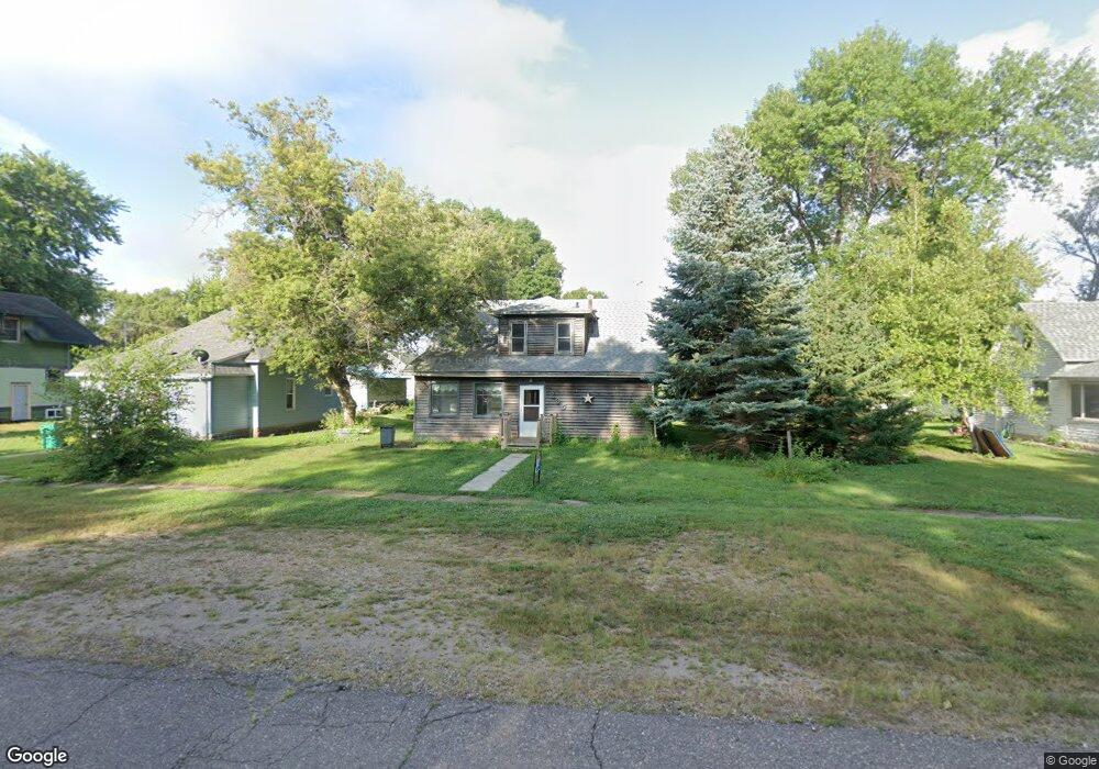
205 N State St Terril, IA 51364
Estimated Value: $75,000 - $122,000
4
Beds
1
Bath
1,402
Sq Ft
$70/Sq Ft
Est. Value
About This Home
This home is located at 205 N State St, Terril, IA 51364 and is currently estimated at $97,842, approximately $69 per square foot. 205 N State St is a home located in Dickinson County with nearby schools including Graettinger-Terril Elementary School, Graettinger-Terril High School, and Graettinger-Terril Middle School.
Ownership History
Date
Name
Owned For
Owner Type
Purchase Details
Closed on
Oct 11, 2024
Sold by
Iat 36 Llc
Bought by
Lair Equipment Rental Llc
Current Estimated Value
Purchase Details
Closed on
Aug 13, 2024
Sold by
Forrest Holdings Inc
Bought by
Iat 36 Llc
Purchase Details
Closed on
Aug 30, 2022
Sold by
Berach Land Holdings Llc
Bought by
Forrest Holdings Inc
Purchase Details
Closed on
Jun 7, 2022
Sold by
Treasurer Of Dickinson County
Bought by
Berach Land Holdings Llc
Purchase Details
Closed on
Jun 1, 2022
Sold by
Lvnv Funding Llc
Bought by
Berach Land Holdings Llc
Create a Home Valuation Report for This Property
The Home Valuation Report is an in-depth analysis detailing your home's value as well as a comparison with similar homes in the area
Home Values in the Area
Average Home Value in this Area
Purchase History
| Date | Buyer | Sale Price | Title Company |
|---|---|---|---|
| Lair Equipment Rental Llc | $6,000 | None Listed On Document | |
| Iat 36 Llc | -- | None Listed On Document | |
| Forrest Holdings Inc | $24,000 | -- | |
| Berach Land Holdings Llc | -- | None Listed On Document | |
| Berach Land Holdings Llc | -- | None Listed On Document |
Source: Public Records
Tax History Compared to Growth
Tax History
| Year | Tax Paid | Tax Assessment Tax Assessment Total Assessment is a certain percentage of the fair market value that is determined by local assessors to be the total taxable value of land and additions on the property. | Land | Improvement |
|---|---|---|---|---|
| 2025 | $1,056 | $106,000 | $5,900 | $100,100 |
| 2024 | $1,056 | $78,300 | $4,900 | $73,400 |
| 2023 | $978 | $78,300 | $4,900 | $73,400 |
| 2022 | $812 | $61,900 | $2,700 | $59,200 |
| 2021 | $812 | $61,900 | $2,700 | $59,200 |
| 2020 | $624 | $51,900 | $2,400 | $49,500 |
| 2019 | $596 | $51,900 | $2,400 | $49,500 |
| 2018 | $596 | $48,800 | $2,100 | $46,700 |
| 2017 | $596 | $48,800 | $2,100 | $46,700 |
| 2016 | $602 | $49,300 | $2,100 | $47,200 |
| 2015 | $586 | $49,300 | $2,100 | $47,200 |
| 2014 | $376 | $52,500 | $2,600 | $49,900 |
| 2013 | -- | $52,500 | $2,600 | $49,900 |
Source: Public Records
Map
Nearby Homes
- 203 S 1st St
- 1915 350th Ave
- 1858 260th Ave
- 3559 180th St
- 1301 Wood Duck Rd
- 25329 182nd St
- 14 Helen Ave
- 16 Helen Ave
- 20 Helen Ave
- 25490 182nd St
- 17227 Lakewood Dr
- 25807 169th St
- 25192 182nd St
- 0 Hill Dr
- 16933 256th Ave
- 20540 232nd Ave
- 16901 256th Ave
- 1102 Oak Hill Rd
- 290 240th Ave Unit 104
- 290 240th Ave Unit 62