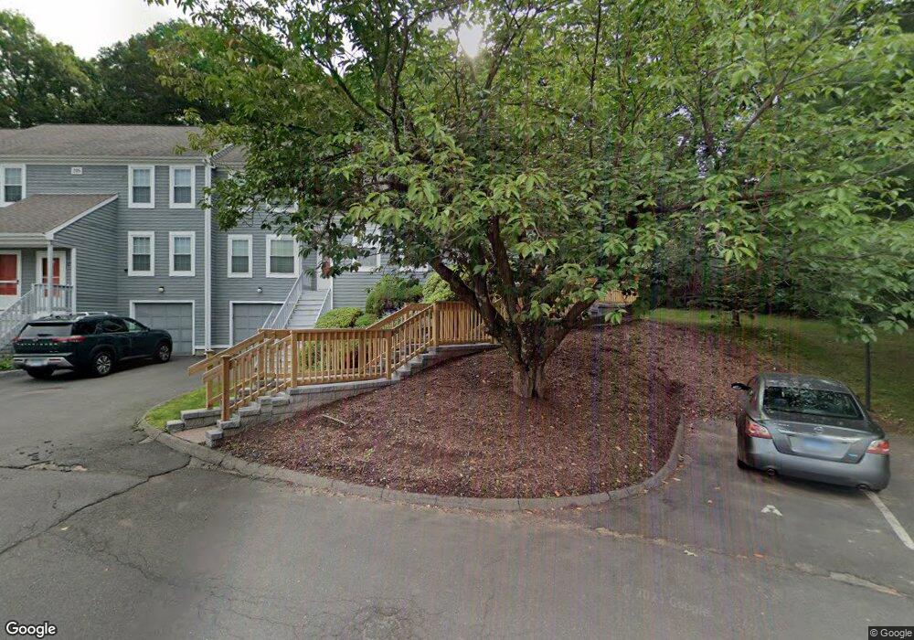
205 Oakland St Unit D Manchester, CT 06042
Robertson NeighborhoodEstimated Value: $214,000 - $251,523
2
Beds
2
Baths
1,055
Sq Ft
$224/Sq Ft
Est. Value
About This Home
This home is located at 205 Oakland St Unit D, Manchester, CT 06042 and is currently estimated at $235,881, approximately $223 per square foot. 205 Oakland St Unit D is a home located in Hartford County with nearby schools including Robertson School, Illing Middle School, and Elisabeth M. Bennet Academy.
Ownership History
Date
Name
Owned For
Owner Type
Purchase Details
Closed on
Nov 18, 1998
Sold by
Bradstraw Richard W
Bought by
Welk Margaret E
Current Estimated Value
Home Financials for this Owner
Home Financials are based on the most recent Mortgage that was taken out on this home.
Original Mortgage
$67,000
Interest Rate
6.49%
Mortgage Type
Purchase Money Mortgage
Create a Home Valuation Report for This Property
The Home Valuation Report is an in-depth analysis detailing your home's value as well as a comparison with similar homes in the area
Home Values in the Area
Average Home Value in this Area
Purchase History
| Date | Buyer | Sale Price | Title Company |
|---|---|---|---|
| Welk Margaret E | $77,000 | -- | |
| Welk Margaret E | $77,000 | -- |
Source: Public Records
Mortgage History
| Date | Status | Borrower | Loan Amount |
|---|---|---|---|
| Open | Welk Margaret E | $43,348 | |
| Closed | Welk Margaret E | $67,000 |
Source: Public Records
Tax History Compared to Growth
Tax History
| Year | Tax Paid | Tax Assessment Tax Assessment Total Assessment is a certain percentage of the fair market value that is determined by local assessors to be the total taxable value of land and additions on the property. | Land | Improvement |
|---|---|---|---|---|
| 2025 | $4,412 | $110,800 | $0 | $110,800 |
| 2024 | $4,286 | $110,800 | $0 | $110,800 |
| 2023 | $4,122 | $110,800 | $0 | $110,800 |
| 2022 | $4,041 | $110,800 | $0 | $110,800 |
| 2021 | $2,936 | $80,400 | $0 | $80,400 |
| 2020 | $2,936 | $80,400 | $0 | $80,400 |
| 2019 | $2,936 | $80,400 | $0 | $80,400 |
| 2018 | $2,879 | $80,400 | $0 | $80,400 |
| 2017 | $2,802 | $80,400 | $0 | $80,400 |
| 2016 | $3,464 | $99,400 | $0 | $99,400 |
| 2015 | $3,447 | $99,400 | $0 | $99,400 |
| 2014 | $3,380 | $99,400 | $0 | $99,400 |
Source: Public Records
Map
Nearby Homes
- 193 Oakland St Unit A
- 165 Oakland St
- 52 Charis Rd
- 12 Buckland Alley
- 31 Green Rd
- 74 North St
- 50 North St
- 486 Tolland Turnpike
- 84 Scott Dr
- 210 Green Rd
- 34 Donahue Ln Unit 34
- 65 Donahue Ln
- 93 Tanner St
- 39 Clyde Rd
- 54 Coleman Rd
- 158 N Elm St
- 254 Henry St
- 25 Chatsworth Ct
- 23 Chatsworth Ct
- 21 Chatsworth Ct
- 205 Oakland St Unit F
- 205 Oakland St Unit E
- 205 Oakland St Unit C
- 205 Oakland St Unit B
- 205 Oakland St Unit A
- 205 Oakland St
- 207 Oakland St Unit F
- 207 Oakland St Unit E
- 207 Oakland St Unit D
- 207 Oakland St Unit C
- 207 Oakland St Unit B
- 207 Oakland St Unit A
- 203 Oakland St Unit F
- 203 Oakland St Unit E
- 203 Oakland St Unit D
- 203 Oakland St Unit C
- 203 Oakland St Unit B
- 203 Oakland St Unit A
- 203 Oakland St
- 203 Oakland St Unit 46