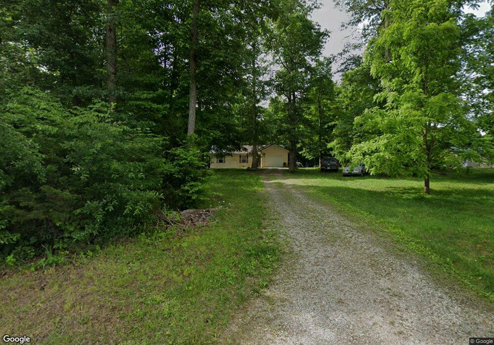
205 Palmer Rd Seaman, OH 45679
Estimated Value: $169,448 - $274,000
3
Beds
2
Baths
1,242
Sq Ft
$172/Sq Ft
Est. Value
About This Home
This home is located at 205 Palmer Rd, Seaman, OH 45679 and is currently estimated at $214,112, approximately $172 per square foot. 205 Palmer Rd is a home located in Adams County with nearby schools including North Adams Elementary School and North Adams High School.
Ownership History
Date
Name
Owned For
Owner Type
Purchase Details
Closed on
May 26, 2005
Sold by
Adams Brown Counties Economic Oppurtunit
Bought by
Goslin Debra L
Current Estimated Value
Home Financials for this Owner
Home Financials are based on the most recent Mortgage that was taken out on this home.
Original Mortgage
$63,620
Outstanding Balance
$33,534
Interest Rate
5.91%
Mortgage Type
New Conventional
Estimated Equity
$180,578
Create a Home Valuation Report for This Property
The Home Valuation Report is an in-depth analysis detailing your home's value as well as a comparison with similar homes in the area
Home Values in the Area
Average Home Value in this Area
Purchase History
| Date | Buyer | Sale Price | Title Company |
|---|---|---|---|
| Goslin Debra L | $69,750 | None Available |
Source: Public Records
Mortgage History
| Date | Status | Borrower | Loan Amount |
|---|---|---|---|
| Open | Goslin Debra L | $63,620 |
Source: Public Records
Tax History Compared to Growth
Tax History
| Year | Tax Paid | Tax Assessment Tax Assessment Total Assessment is a certain percentage of the fair market value that is determined by local assessors to be the total taxable value of land and additions on the property. | Land | Improvement |
|---|---|---|---|---|
| 2024 | $635 | $37,740 | $6,410 | $31,330 |
| 2023 | $643 | $37,740 | $6,410 | $31,330 |
| 2022 | $1,277 | $33,990 | $4,620 | $29,370 |
| 2021 | $1,204 | $33,990 | $4,620 | $29,370 |
| 2020 | $1,182 | $33,990 | $4,620 | $29,370 |
| 2019 | $1,191 | $33,990 | $4,620 | $29,370 |
| 2018 | $991 | $29,090 | $4,620 | $24,470 |
| 2017 | $969 | $29,090 | $4,620 | $24,470 |
| 2016 | $969 | $29,090 | $4,620 | $24,470 |
| 2015 | $973 | $30,280 | $4,380 | $25,900 |
| 2014 | $980 | $30,280 | $4,380 | $25,900 |
Source: Public Records
Map
Nearby Homes
- 0 Rocklick Rd Unit 1850847
- 0 Rocklick Rd Unit 22305798
- 0 Rocklick Rd Unit 1827311
- 0 Rocklick Rd Unit 11401099
- 1445 Louisville Rd
- 1765 Greenbrier Rd
- 1717 Zion Ln
- 1865 Ohio 247
- 4404 Louisville Rd
- 1721 May Hill Rd
- 11883 Walnut Shade Rd
- 9888 E Deadfall Rd
- 289 Elmville Rd
- 9094 W Deadfall Rd
- 1143 Dotson Rd
- 530 Mount Leigh Rd
- 635 Pence Rd
- 68 Curt Rd
- 664 Strait Creek Rd
- 870 Fenton Rd
- 237 Palmer Rd
- 145 Palmer Rd
- 139 Palmer Rd
- 1289 Flat Run Rd
- 1365 Flat Run Rd
- 1325 Flat Run Rd
- 1303 Flat Run Rd
- 1035 Flat Run Rd
- 1625 Flat Run Rd
- 999 Flat Run Rd
- 980 Flat Run Rd
- 1815 Flat Run Rd
- 232 Louisville Rd
- 1331 Flat Run Rd
- 1367 Flat Run Rd
- 0 Flat Run Rd
- 2000 Flat Run Rd
- 993 Flat Run Rd
- 971 Flat Run Rd
- 1000 Flat Run Rd