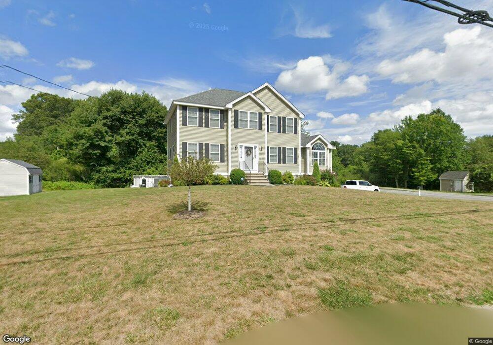
205 Parker Rd Dracut, MA 01826
Estimated Value: $797,813 - $881,000
4
Beds
3
Baths
2,284
Sq Ft
$367/Sq Ft
Est. Value
About This Home
This home is located at 205 Parker Rd, Dracut, MA 01826 and is currently estimated at $839,203, approximately $367 per square foot. 205 Parker Rd is a home with nearby schools including Joseph A. Campbell Elementary School, Richardson Middle School, and Dracut Senior High School.
Ownership History
Date
Name
Owned For
Owner Type
Purchase Details
Closed on
May 20, 2014
Sold by
Paradis Erica K
Bought by
Paradis Erica K and Paradis Stephen M
Current Estimated Value
Purchase Details
Closed on
Nov 20, 2012
Sold by
Draco Homes Inc
Bought by
Paradis Erica K
Home Financials for this Owner
Home Financials are based on the most recent Mortgage that was taken out on this home.
Original Mortgage
$393,680
Interest Rate
3.39%
Mortgage Type
New Conventional
Purchase Details
Closed on
Jul 25, 2006
Sold by
Brox Ind Inc
Bought by
Draco Homes Inc
Create a Home Valuation Report for This Property
The Home Valuation Report is an in-depth analysis detailing your home's value as well as a comparison with similar homes in the area
Home Values in the Area
Average Home Value in this Area
Purchase History
| Date | Buyer | Sale Price | Title Company |
|---|---|---|---|
| Paradis Erica K | -- | -- | |
| Paradis Erica K | $414,000 | -- | |
| Draco Homes Inc | $625,000 | -- |
Source: Public Records
Mortgage History
| Date | Status | Borrower | Loan Amount |
|---|---|---|---|
| Previous Owner | Paradis Erica K | $393,680 |
Source: Public Records
Tax History Compared to Growth
Tax History
| Year | Tax Paid | Tax Assessment Tax Assessment Total Assessment is a certain percentage of the fair market value that is determined by local assessors to be the total taxable value of land and additions on the property. | Land | Improvement |
|---|---|---|---|---|
| 2025 | $7,470 | $738,100 | $256,600 | $481,500 |
| 2024 | $7,278 | $696,500 | $244,500 | $452,000 |
| 2023 | $7,058 | $609,500 | $212,800 | $396,700 |
| 2022 | $6,821 | $555,000 | $193,600 | $361,400 |
| 2021 | $6,617 | $508,600 | $175,900 | $332,700 |
| 2020 | $6,440 | $482,400 | $170,600 | $311,800 |
| 2019 | $6,142 | $446,700 | $162,500 | $284,200 |
| 2018 | $6,185 | $437,400 | $162,500 | $274,900 |
| 2017 | $6,167 | $437,400 | $162,500 | $274,900 |
| 2016 | $6,141 | $413,800 | $163,300 | $250,500 |
| 2015 | $5,950 | $398,500 | $163,300 | $235,200 |
| 2014 | $5,997 | $413,900 | $163,300 | $250,600 |
Source: Public Records
Map
Nearby Homes
- 31 Varnum Ave
- 931 Methuen St Unit 6
- 12 Hayfield Rd
- 51 Bellevue Ave
- 820 Methuen St Unit 820
- 821 Merrimack Ave
- 14 Mount Pleasant Ave
- 785 Broadway Rd
- 44 Hopkins Cir Unit 44
- 46 Hopkins Cir
- 42 Hopkins Cir
- 2 Francis Dr Unit 412
- 4 Francis Dr Unit 105
- 2 Francis Dr Unit 213
- 4 Francis Dr Unit 207
- 2 Nollet Dr
- 322 River Rd
- 173 Merrimack Meadows Ln Unit 162
- 315 Broadway Rd Unit 7
- 78 Merrimack Meadows Ln Unit 78