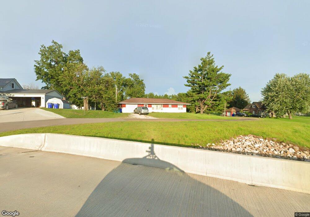
205 Pearl St NE Shellsburg, IA 52332
Estimated Value: $86,000 - $142,000
2
Beds
1
Bath
780
Sq Ft
$160/Sq Ft
Est. Value
About This Home
This home is located at 205 Pearl St NE, Shellsburg, IA 52332 and is currently estimated at $124,751, approximately $159 per square foot. 205 Pearl St NE is a home located in Benton County with nearby schools including Shellsburg Elementary School, Tilford Elementary School, and Vinton-Shellsburg Middle School.
Ownership History
Date
Name
Owned For
Owner Type
Purchase Details
Closed on
Nov 22, 2024
Sold by
Shakespeare Dennis D
Bought by
Brody Kayla M
Current Estimated Value
Home Financials for this Owner
Home Financials are based on the most recent Mortgage that was taken out on this home.
Original Mortgage
$111,150
Outstanding Balance
$110,109
Interest Rate
6.44%
Mortgage Type
New Conventional
Estimated Equity
$14,642
Create a Home Valuation Report for This Property
The Home Valuation Report is an in-depth analysis detailing your home's value as well as a comparison with similar homes in the area
Home Values in the Area
Average Home Value in this Area
Purchase History
| Date | Buyer | Sale Price | Title Company |
|---|---|---|---|
| Brody Kayla M | $117,000 | None Listed On Document |
Source: Public Records
Mortgage History
| Date | Status | Borrower | Loan Amount |
|---|---|---|---|
| Open | Brody Kayla M | $111,150 |
Source: Public Records
Tax History Compared to Growth
Tax History
| Year | Tax Paid | Tax Assessment Tax Assessment Total Assessment is a certain percentage of the fair market value that is determined by local assessors to be the total taxable value of land and additions on the property. | Land | Improvement |
|---|---|---|---|---|
| 2025 | $1,768 | $107,400 | $22,800 | $84,600 |
| 2024 | $1,768 | $100,900 | $22,800 | $78,100 |
| 2023 | $1,652 | $100,900 | $22,800 | $78,100 |
| 2022 | $1,528 | $83,100 | $18,200 | $64,900 |
| 2021 | $1,528 | $77,800 | $18,200 | $59,600 |
| 2020 | $1,064 | $53,600 | $15,500 | $38,100 |
| 2019 | $1,154 | $53,600 | $15,500 | $38,100 |
| 2018 | $1,112 | $58,200 | $13,300 | $44,900 |
| 2017 | $1,124 | $58,200 | $13,300 | $44,900 |
| 2016 | $1,102 | $56,000 | $12,800 | $43,200 |
| 2015 | $1,102 | $56,000 | $12,800 | $43,200 |
| 2014 | $1,086 | $63,800 | $0 | $0 |
Source: Public Records
Map
Nearby Homes
- 205 Grove St NW
- 404 Main St NW
- 700 Sunset Blvd
- 6127 32nd Ave Unit Lot 3
- 804 Fairway Dr
- 105 Meadow Dr
- 103 Meadow Dr
- 101 Meadow Dr
- 6240 33rd Avenue Dr
- 6676 32nd Ave
- 2785 Creekview Trail
- 842 Indigo Dr
- 819 Indigo Dr
- 834 Indigo Dr
- 737 Indigo Dr
- 803 Indigo Dr
- 926 Indigo Dr
- 818 Indigo Dr
- 810 Indigo Dr
- 736 Indigo Dr
- 205 Pearl St NE
- 205 Pearl St SE
- 104 Jones St SE
- 100 Bennett St SE
- 201 1st St SE
- 301 1st St
- 111 Pearl St SE
- 109 Pearl St SE
- 110 1st St SE
- 118 Pearl St
- 105 Pearl St SE
- 210 Jones St SE
- 3920 Lewis Bottoms Rd
- 100 Pearl St SW
- 104 Main St
- 3765 Lewis Bottoms Rd
- 206 Main St NE
- 206 Main St NE
- 208 Main St NE
- 105 Main St NE