205 Pond Dr Gallatin, TN 37066
Bethpage NeighborhoodEstimated Value: $1,035,000 - $1,227,000
--
Bed
3
Baths
3,527
Sq Ft
$314/Sq Ft
Est. Value
About This Home
This home is located at 205 Pond Dr, Gallatin, TN 37066 and is currently estimated at $1,108,094, approximately $314 per square foot. 205 Pond Dr is a home located in Sumner County with nearby schools including Benny C. Bills Elementary School, Joe Shafer Middle School, and Gallatin Senior High School.
Ownership History
Date
Name
Owned For
Owner Type
Purchase Details
Closed on
Sep 25, 2012
Sold by
Bandy David
Bought by
Gentry Joseph Daniel and Gentry Marsha B
Current Estimated Value
Home Financials for this Owner
Home Financials are based on the most recent Mortgage that was taken out on this home.
Original Mortgage
$360,000
Outstanding Balance
$251,276
Interest Rate
3.68%
Mortgage Type
New Conventional
Estimated Equity
$856,818
Purchase Details
Closed on
Jan 14, 2011
Sold by
Bandy Derrick
Bought by
Bandy David
Create a Home Valuation Report for This Property
The Home Valuation Report is an in-depth analysis detailing your home's value as well as a comparison with similar homes in the area
Home Values in the Area
Average Home Value in this Area
Purchase History
| Date | Buyer | Sale Price | Title Company |
|---|---|---|---|
| Gentry Joseph Daniel | $450,000 | Stewart Title Co | |
| Bandy David | -- | Stewart Title Of Tn Inc |
Source: Public Records
Mortgage History
| Date | Status | Borrower | Loan Amount |
|---|---|---|---|
| Open | Gentry Joseph Daniel | $360,000 |
Source: Public Records
Tax History Compared to Growth
Tax History
| Year | Tax Paid | Tax Assessment Tax Assessment Total Assessment is a certain percentage of the fair market value that is determined by local assessors to be the total taxable value of land and additions on the property. | Land | Improvement |
|---|---|---|---|---|
| 2024 | $3,367 | $236,925 | $72,475 | $164,450 |
| 2023 | $3,147 | $139,750 | $27,325 | $112,425 |
| 2022 | $3,161 | $139,750 | $27,325 | $112,425 |
| 2021 | $3,161 | $139,750 | $27,325 | $112,425 |
| 2020 | $3,161 | $139,750 | $27,325 | $112,425 |
| 2019 | $3,161 | $0 | $0 | $0 |
| 2018 | $2,573 | $0 | $0 | $0 |
| 2017 | $2,573 | $0 | $0 | $0 |
| 2016 | $2,573 | $0 | $0 | $0 |
| 2015 | -- | $0 | $0 | $0 |
| 2014 | -- | $0 | $0 | $0 |
Source: Public Records
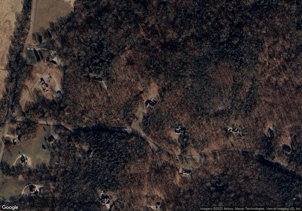
Map
Nearby Homes
- 311 Pond Dr
- 0 Pond Dr
- 1009 Cherokee Cove
- 1000 Choctaw Cove
- 724 Deshea Creek Rd
- 1029 Robert Lee Dr
- 1067 Robert Lee Dr
- 8 Deshea Creek Rd
- 2 Deshea Creek Rd
- 6 Deshea Creek Rd
- 3 Deshea Creek Rd
- 1 Deshea Creek Rd
- 5 Deshea Creek Rd
- 7 Deshea Creek Rd
- 4 Deshea Creek Rd
- 1017 Cabriolet Ct
- 104 Branham Mill Rd
- 2030 Highway 31 E
- 1040 Double Tree Ln
- 1000 Pruitt Ln